Northern Road Trip Week 1: Lake Country

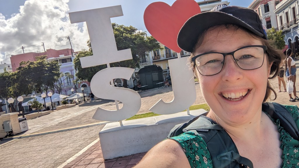
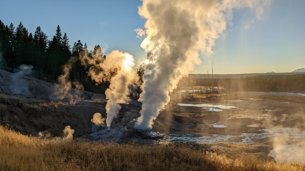
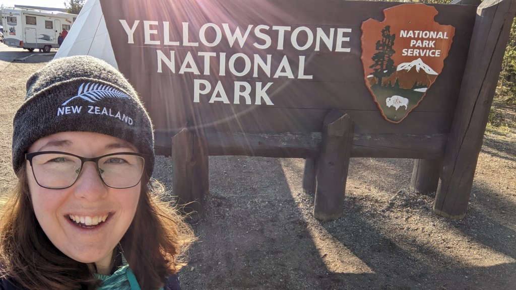
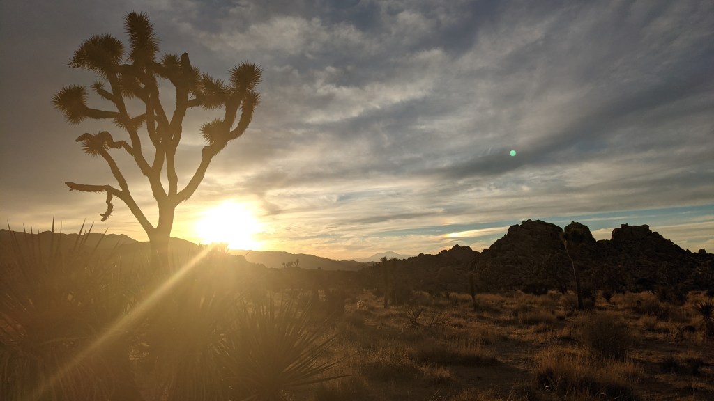
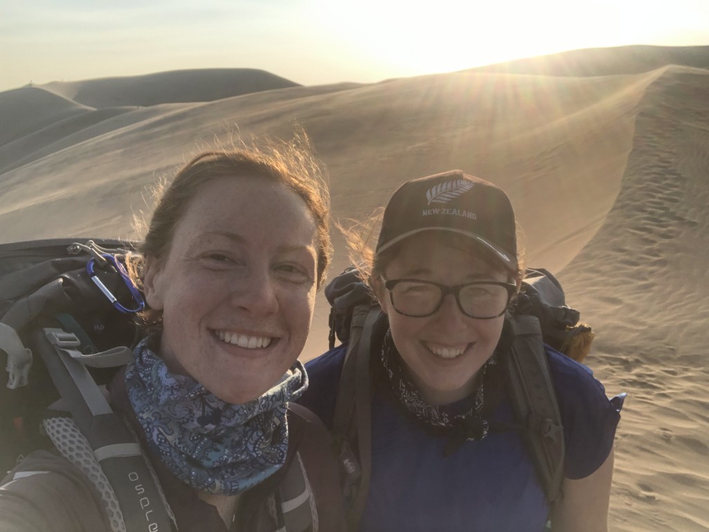
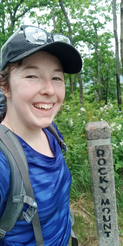
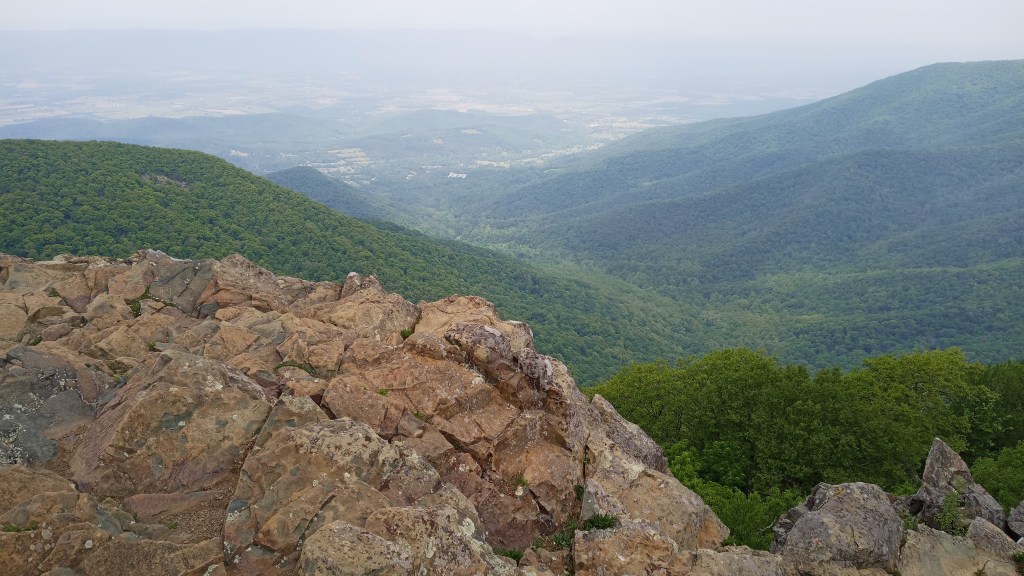
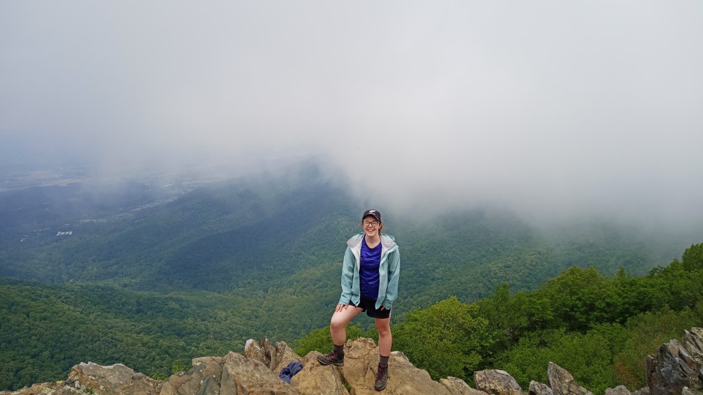
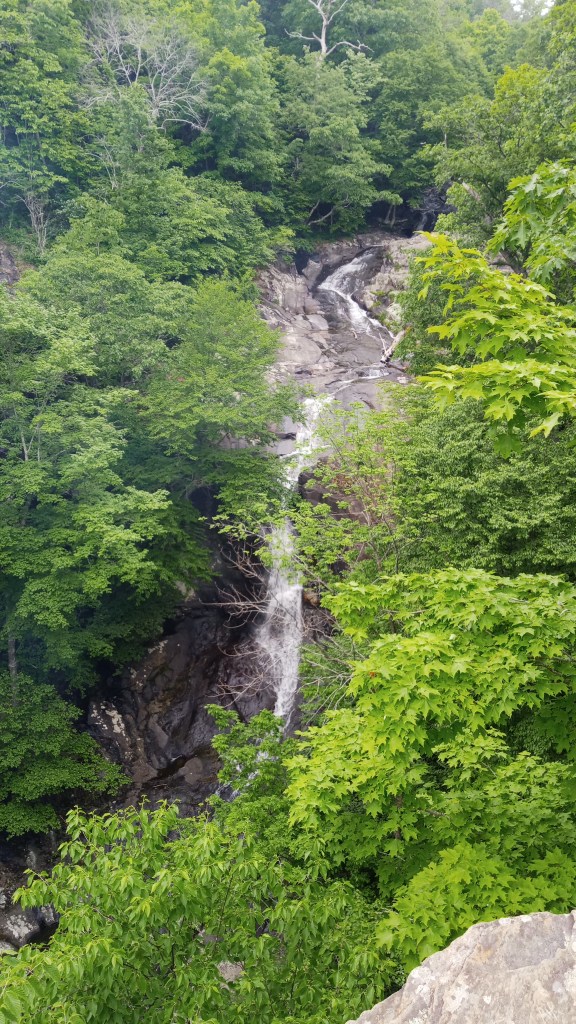
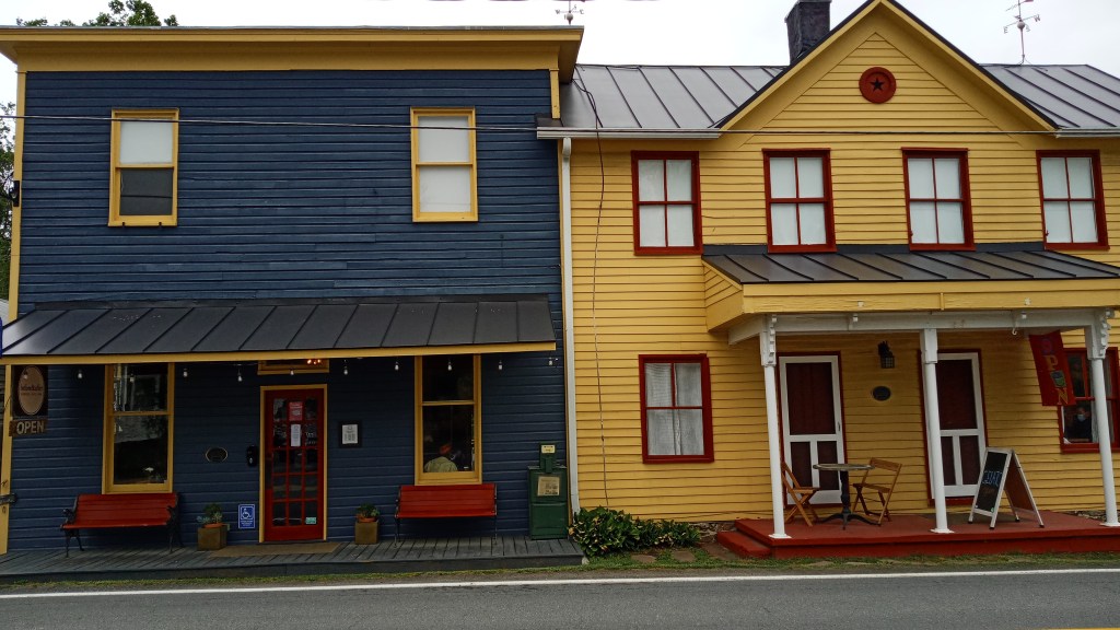
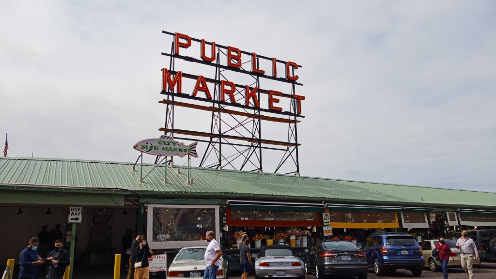
Hello all! This post is the first in a series from when I took a 6-week road trip across the northern U.S., Canada, and Alaska in the summer of 2023. Thanks for joining!

Before I dive right in, let me give a little background. After studying abroad in New Zealand for a semester, I developed two goals for my life back in the States: visit all the National Parks and thru-hike the Appalachian Trail. When I graduated and took my first job, I set an exit date for myself of three years in order to accomplish the latter. These plans evolved, however, due to logistics, and I decided to push back the AT to ’24 and in the meantime road trip around to National Parks. Plans evolved even further when I felt a call to spend some of this time in missions. Thus, two ten-week trips to Belize and South Africa were added to the itinerary. I still wanted to chip away at my goal of seeing all the National Parks, however, so I kept it in the plans but shortened it to six weeks so that I could depart for Belize at the end of the summer.

Thus began the first leg of my sabbatical! By June 30, I had quit my job, thrown a farewell party, and had just finished moving out of my rental house. I drove to my parents house to stay the night, and woke up July 1 to the scent of my dad’s banana pancakes wafting through the house. I hastily packed the car, enjoyed a delicious breakfast, and figured out health insurance before I finally got on the road. My first destination? Michigan City, Indiana.

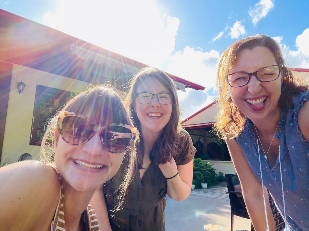
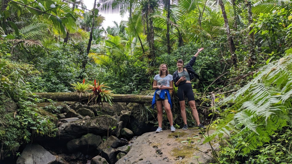
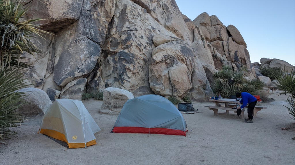
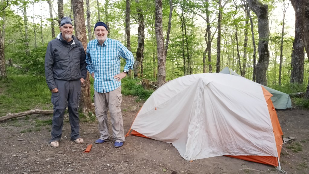
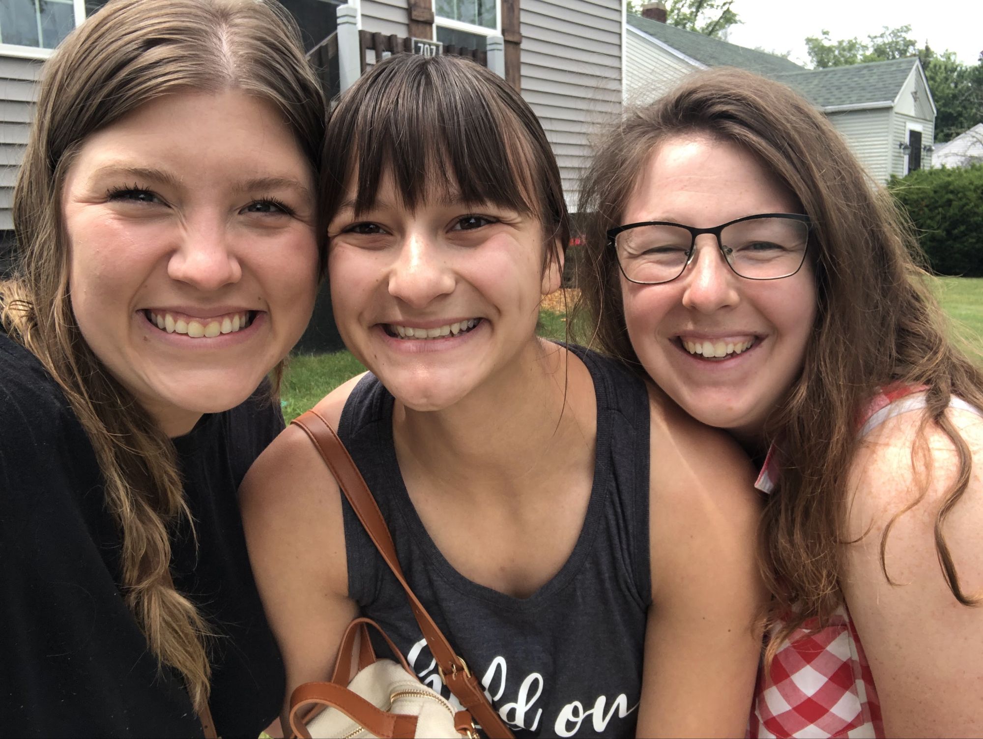
My dear friends Quinci and Anna wanted to send me off, and so we came up with the idea of renting an Airbnb near Lake Michigan and spending a day or two there, since I was headed that way anyways. Unfortunately they got caught in traffic and arrived considerably later than me, but it did give me the chance to take a nap and decompress a little after several incredibly hectic days.

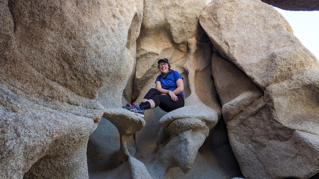
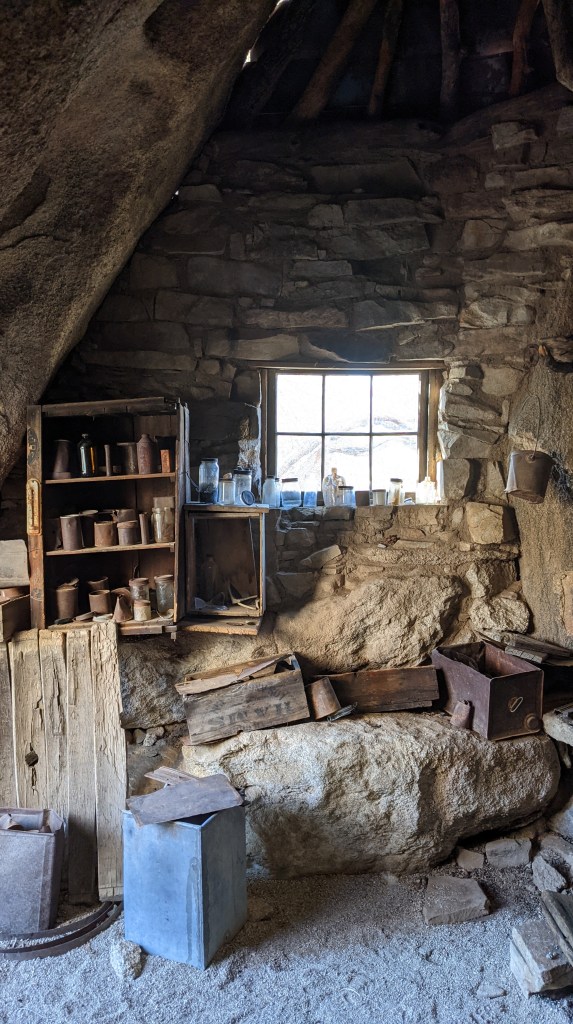
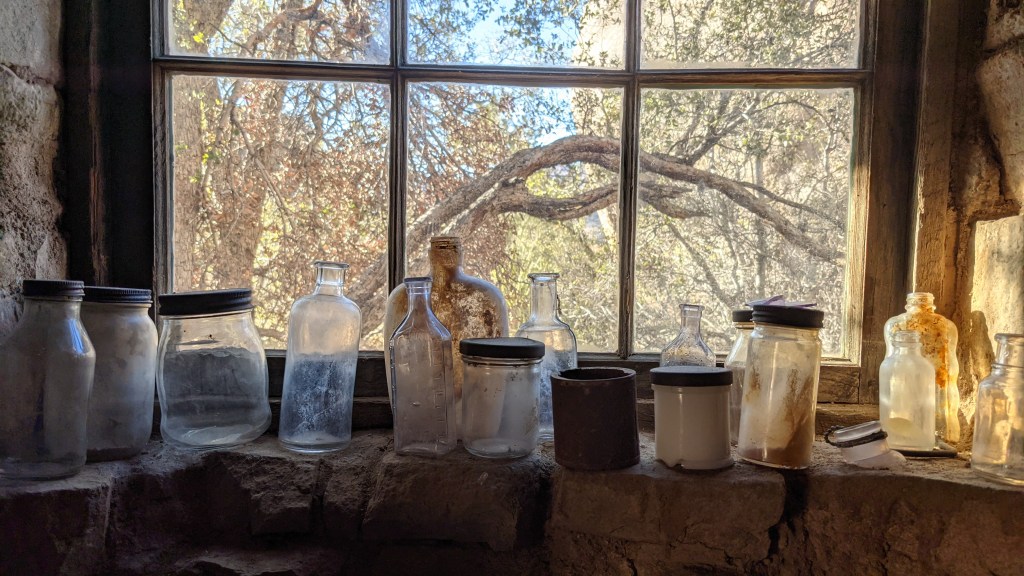
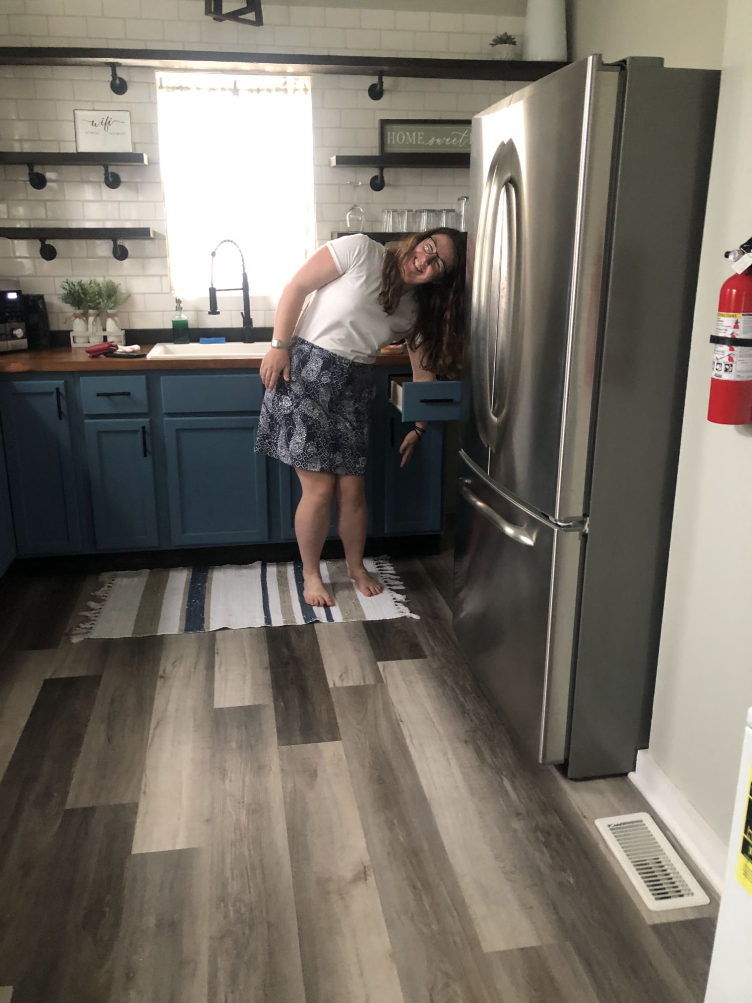
Once they arrived, they got settled in and we checked out the Airbnb a bit – I was particularly amused by this drawer!

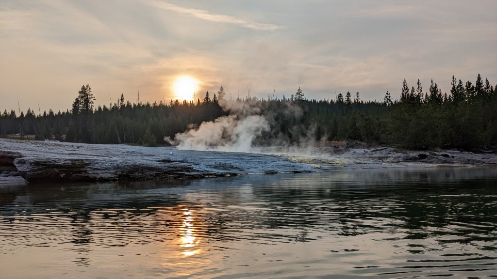
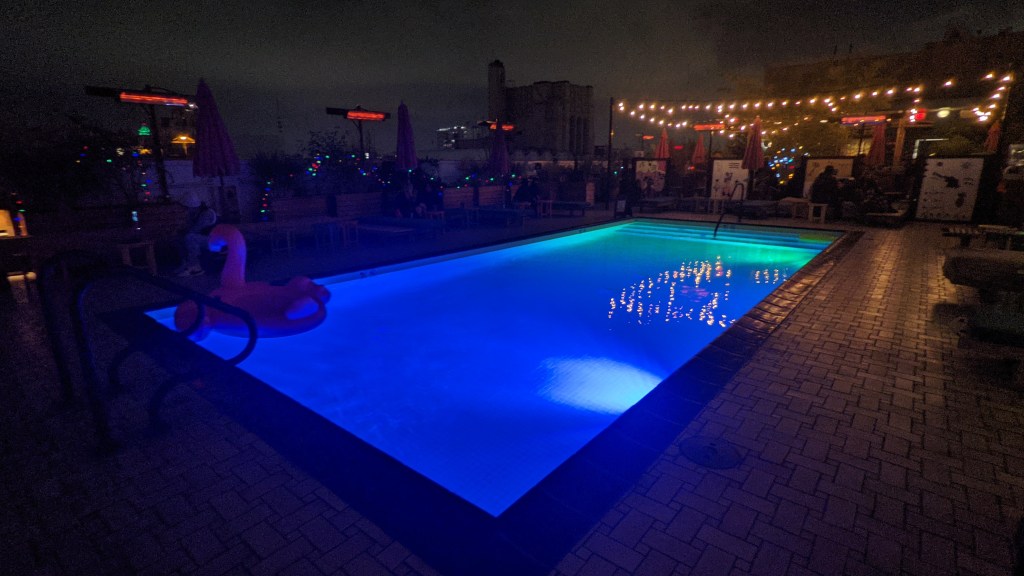
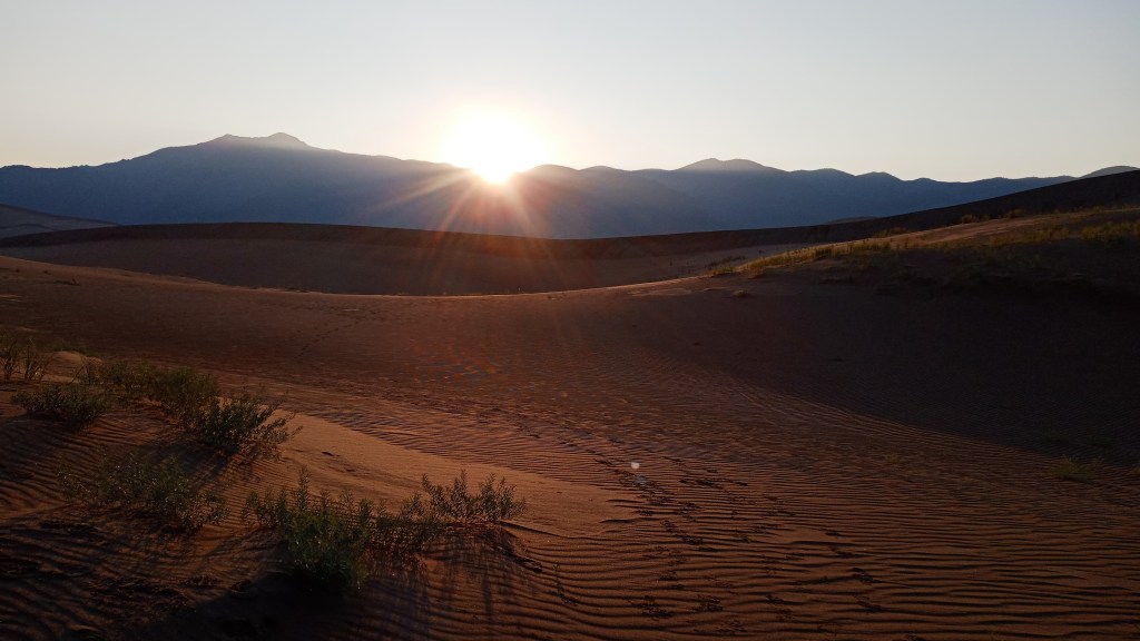
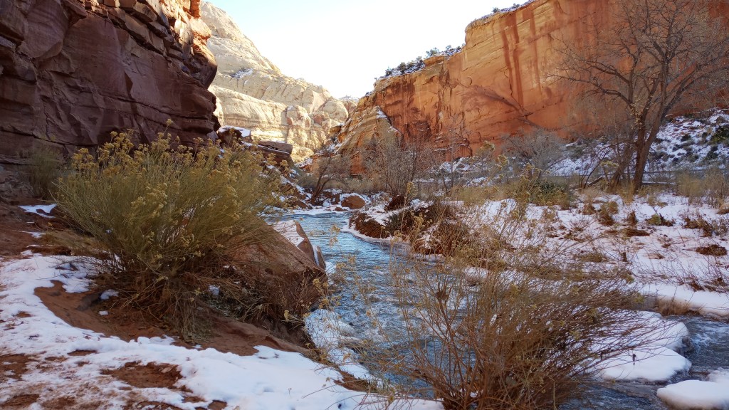
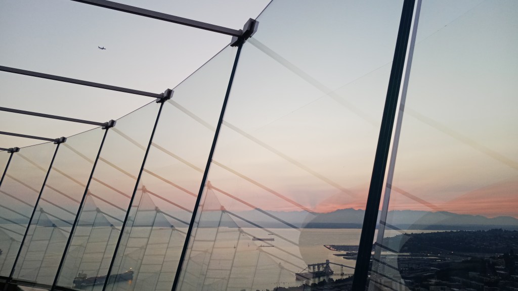
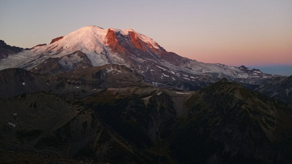
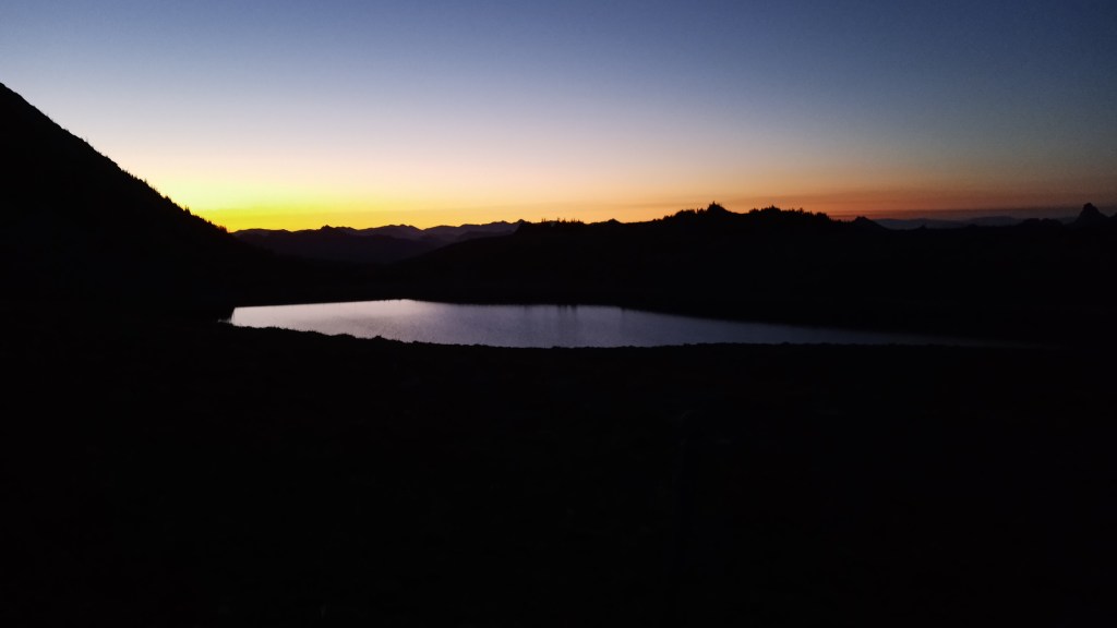
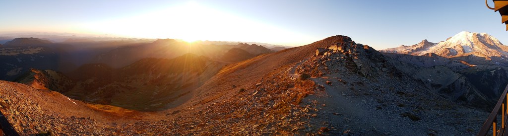
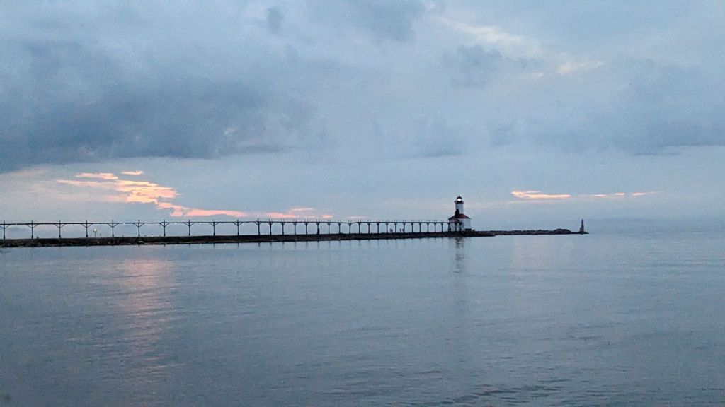
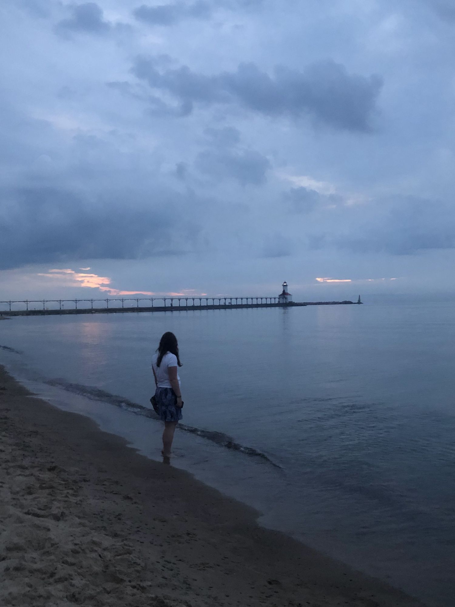
We made a run to the store for pizza ingredients and other goodies, then returned to the house and enjoyed dinner together. We decided we wanted to try and catch sunset on the beach, so we drove to Washington Park. We didn’t get quite the spectacular colors we were hoping for, but it was still pretty.

Otherwise we had a relatively quiet night in and enjoyed watching A League of Their Own together.

July 2nd we made breakfast together, then finished the movie and packed up our things.

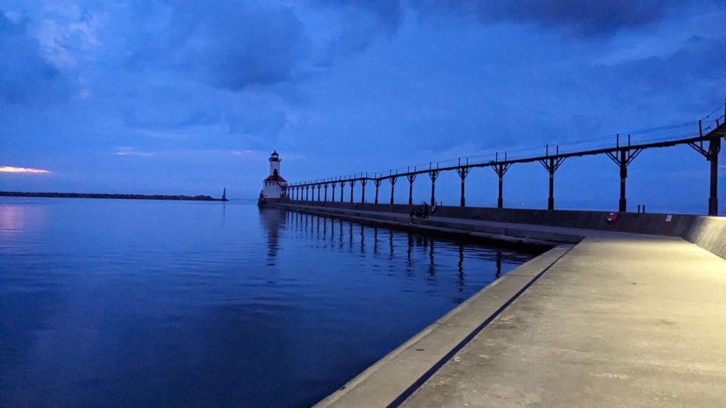
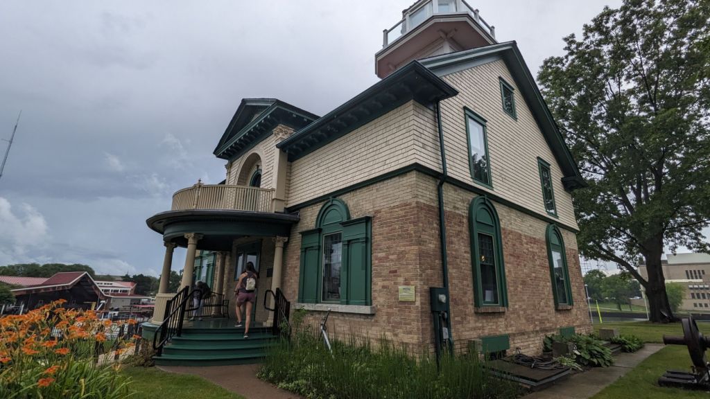
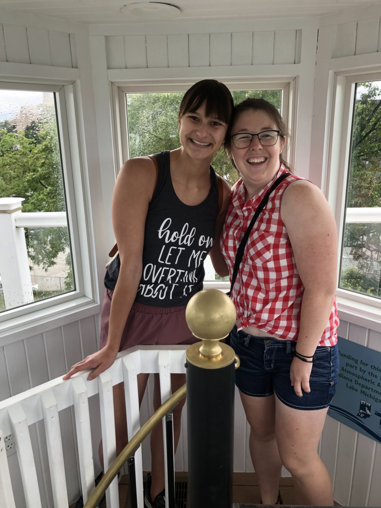
We decided to go to an antique market together, then went to the Old Lighthouse Museum, both of which were neat!

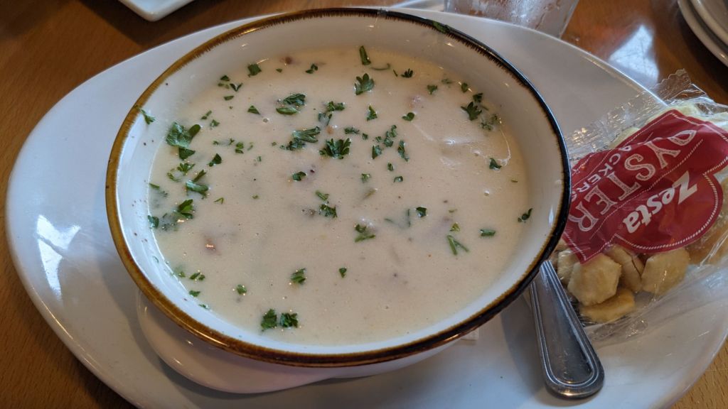
We grabbed a late lunch at Bartlett’s Fish Camp, which was a really cute restaurant.

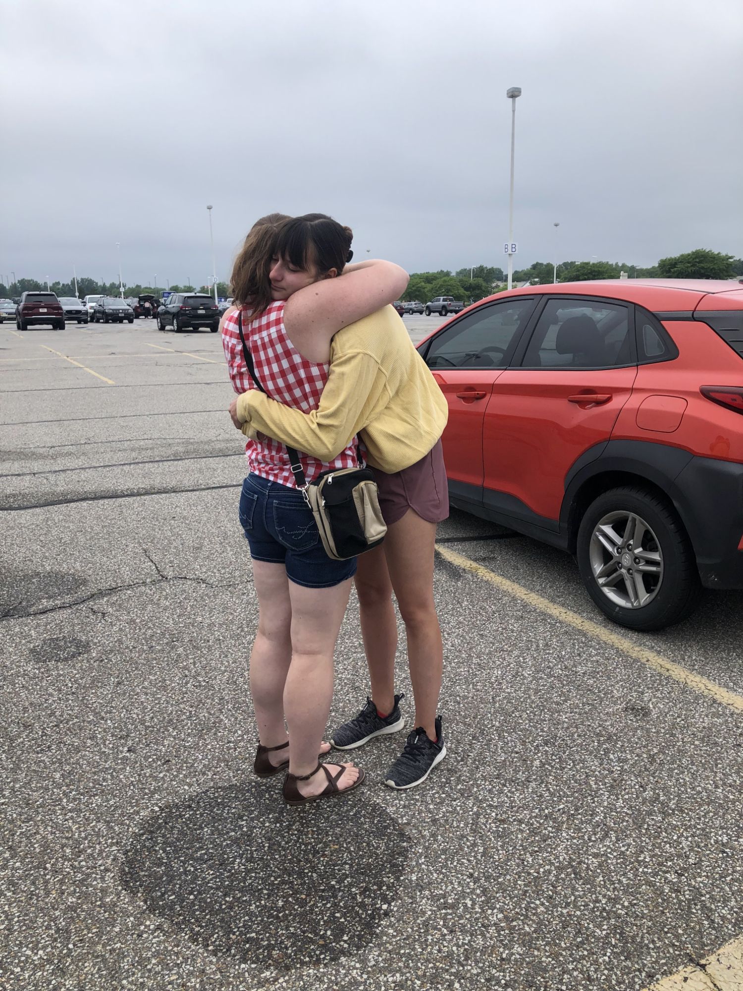
Unfortunately, at this point it was time for that goodbye we had all been dreading. We spent a long time in that parking lot sharing tears and hugs. These dear friends had been so so good to me – there wasn’t anyone else I’d rather have send me off on this adventure!

After they headed for back home, it was time to dry my tears and start prepping for the trip ahead. I made a run to Walmart to grab food, and took advantage of the free Wi-Fi and an outlet I found to do some planning.

Normally when I plan a National Park trip I have all my accommodations booked and have a somewhat flexible itinerary, with a couple of must-do items per park and maybe a point of interest in the city I’m flying into. With a trip of this length, however, I figured I would probably need more flexibility, so while I had a general idea of which parks I wanted to shoot for and in what order, I really didn’t have any reservations or tickets before leaving. I ended up planning about 5-7 days ahead at a time while I was on the road, stopping at a fast food place or wherever I had access to free Wi-Fi. This seemed to work pretty well for me, though I was amazed at how much time planning ate up.

Another big difference for this trip was accommodations. I tend to prefer camping when I travel because of its affordability, but even campgrounds can cost north of $30 a night – which is fine for a week but a little pricey for six, especially when you’re planning to stretch your savings for 1.5+ years. I did my research and found a website called http://www.freecampsites.net, which aggregates paid and free campsites all over the US and Canada. Though there were times it made more sense to stay at a paid site in an established campground, I used the website to find sites for a majority of my nights traveling, and it ultimately saved me probably hundreds of dollars in camping fees.

Another new change was my Garmin InReach, a two-way satellite communicator. I had previously used the Spot satellite device on my travels to let friends and family know my location and that I was safe, but as a one-way communicator it couldn’t receive messages, and the text of the messages I could send, while customizable, weren’t designed to be changed frequently. Though the Garmin cost a good chunk of change at north of $400, I felt it was worth it to help give my family peace of mind, and it would allow me to better reach out for help when cell service was absent.

Alright, back to Walmart: after I had knocked out shopping, planning, and setting up my new Garmin, I headed out for my campsite for the night at Indiana State Park.

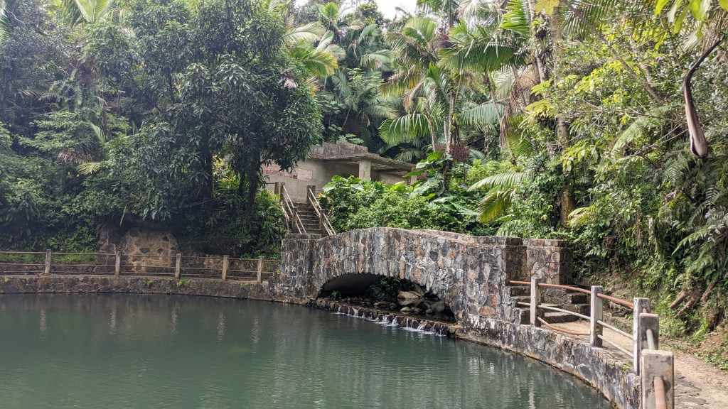
“State Park?” you might ask. Yep! There is both a state park and national park by the name of Indiana Dunes, which can definitely make things kinda confusing. The two complement each other very well, however, so if you’re in the area and have the time, I highly recommend visiting both – you can still hit the highlights in about a day, in my opinion.

Ironically, though I had lived my whole life in Indiana and had spent the last three years visiting National Parks, I had yet to visit Indiana Dunes NP. Growing up we had favored the state park, since its beaches were more popular and readily accessible. Also, to be fair, Indiana Dunes NP had only existed for about four years at this point – it was previously a National Lakeshore until 2019.

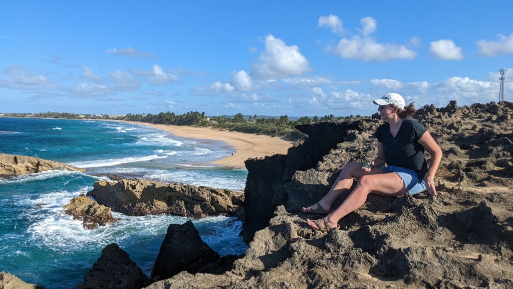
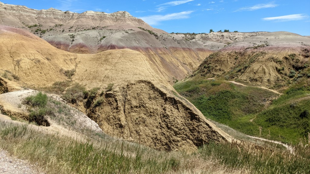
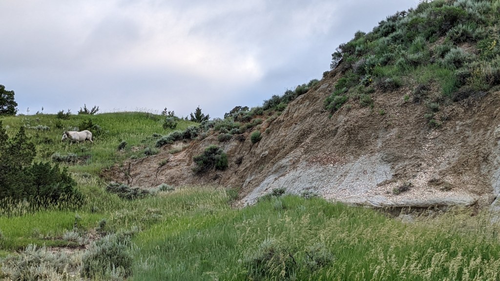
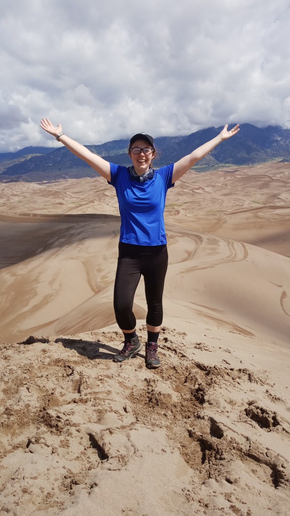
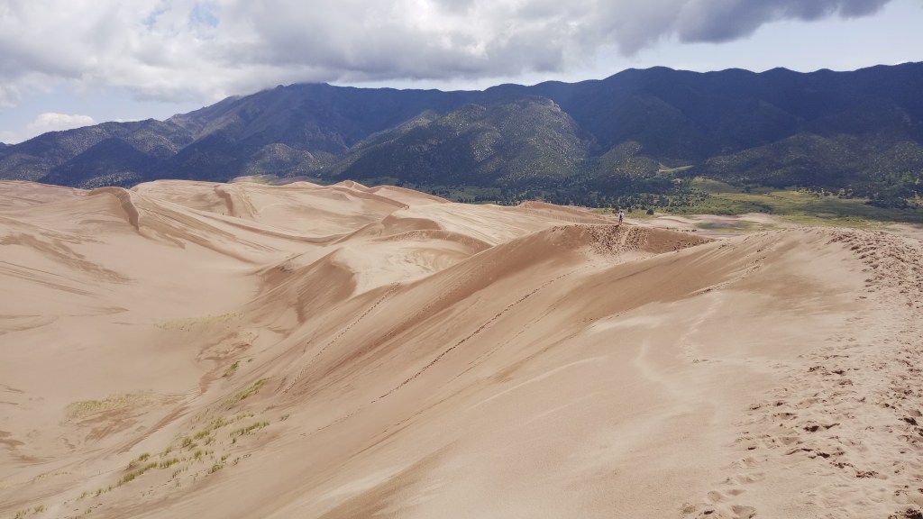
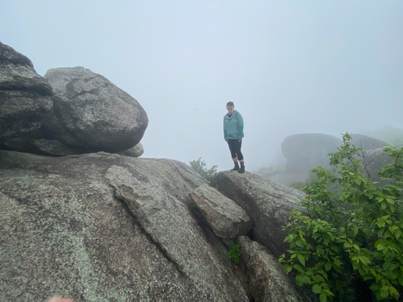
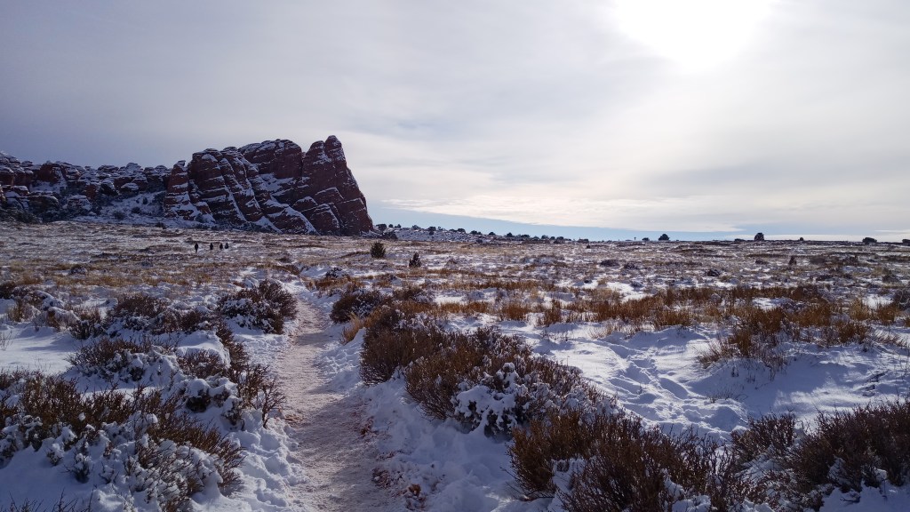
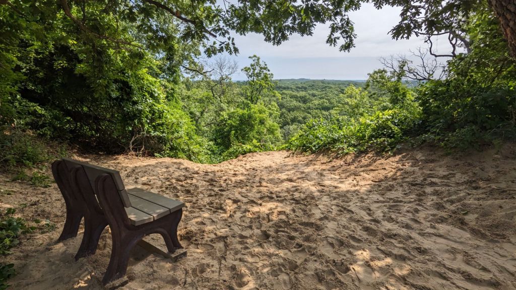
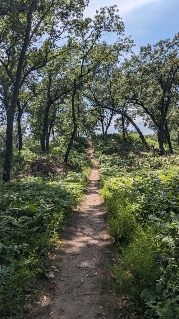
I started off my first full day at the Dunes by taking some time to organize my car – not the most exciting thing, I know, but after the last few whirlwind days, my car needed it. After that was accomplished, I decided to hike the “3 Dune Challenge” in the State Park, a 1.5 mile trail linking the park’s three tallest dunes. It was a fun little challenge, and it came with some pretty views to boot!

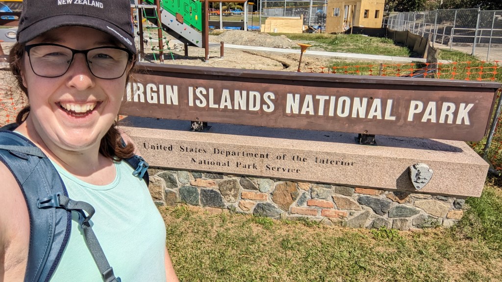
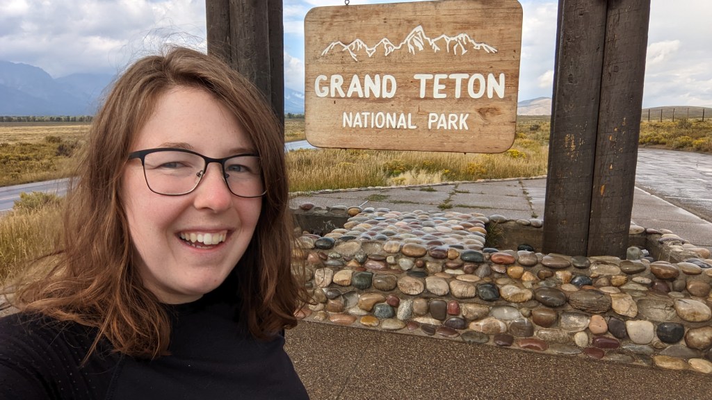
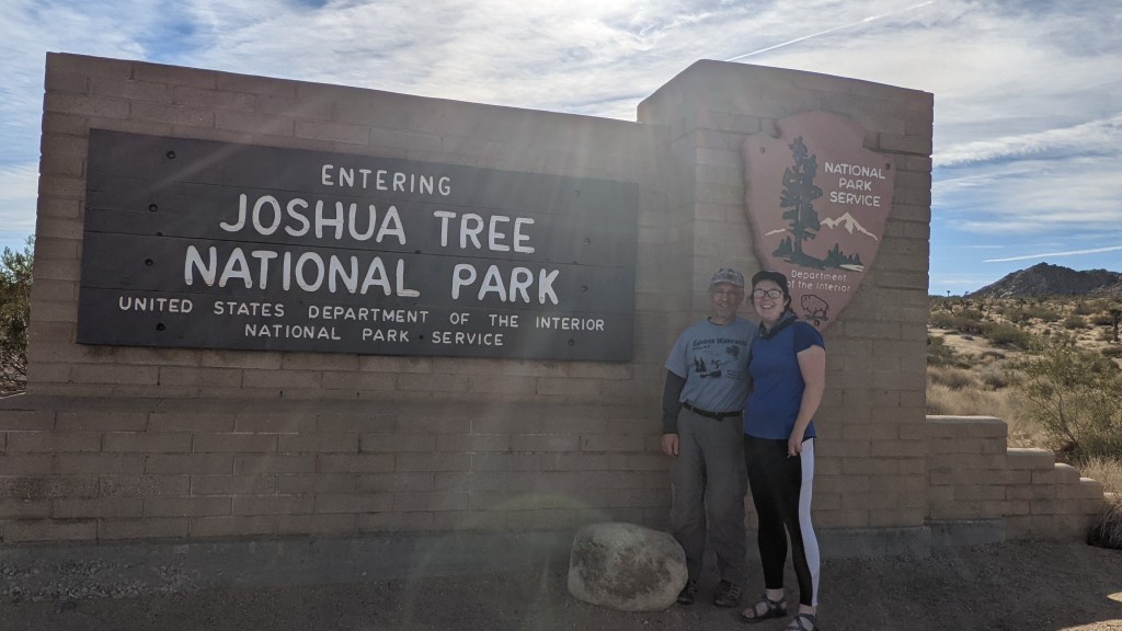
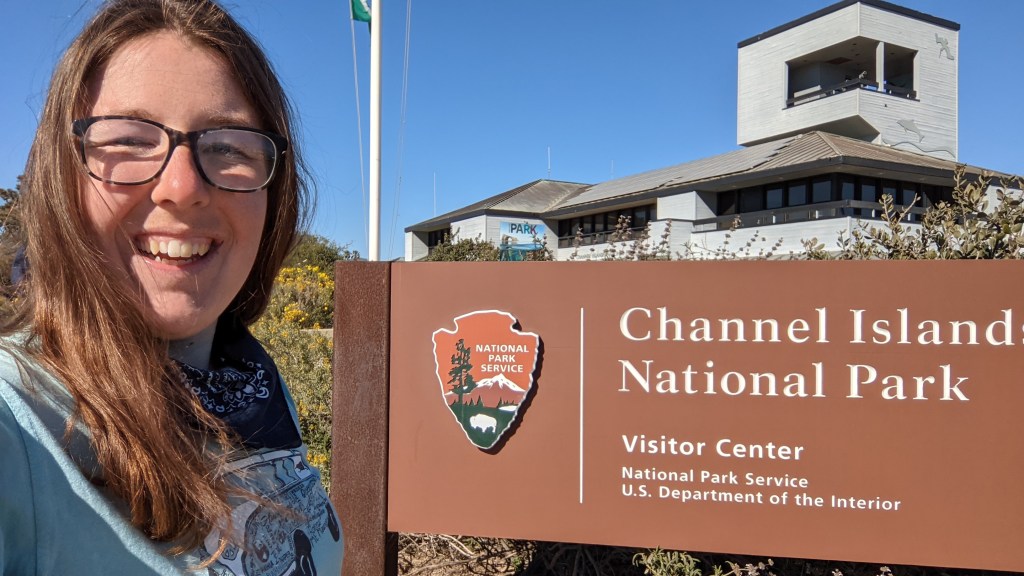
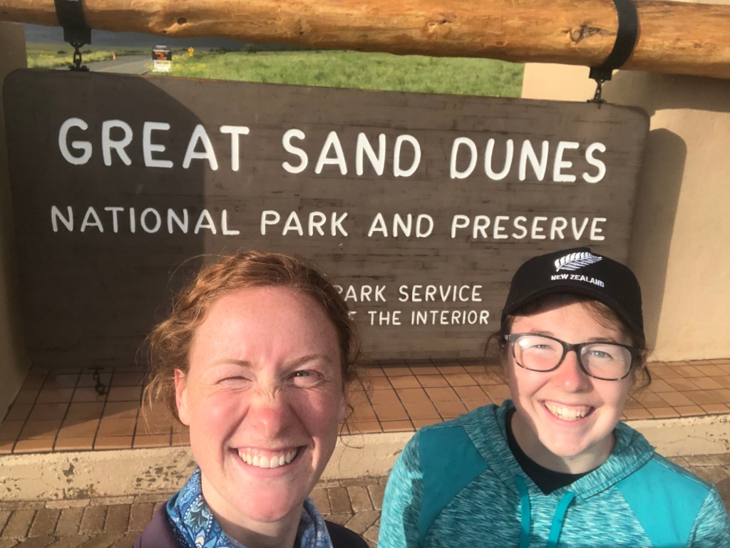
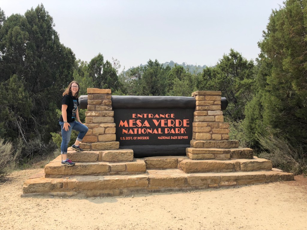
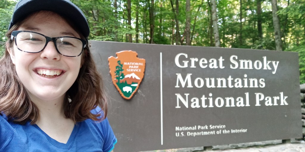
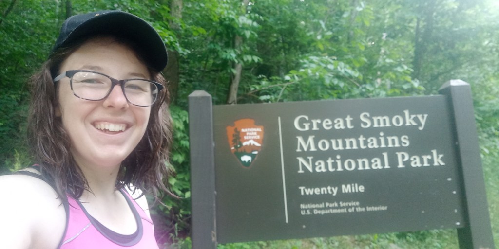
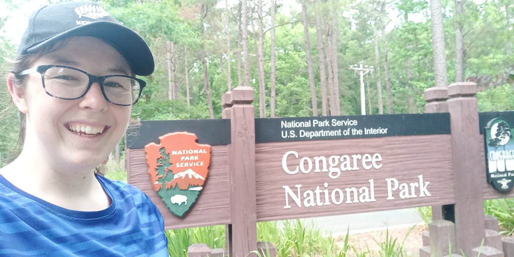
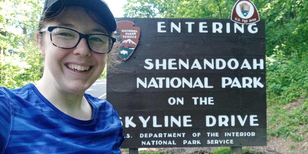
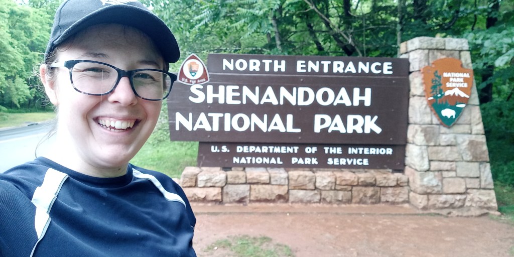
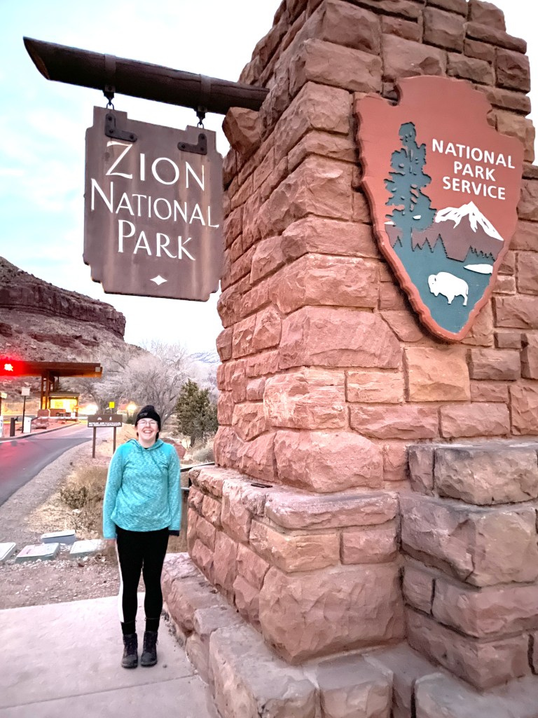
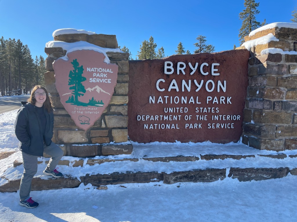
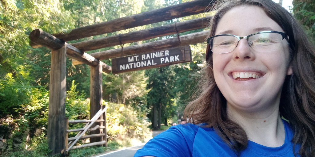
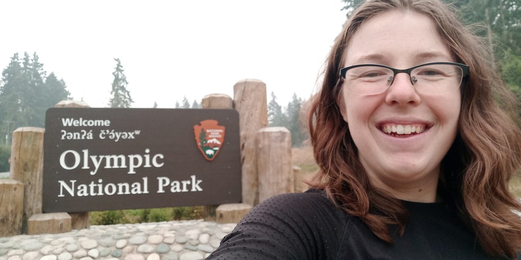
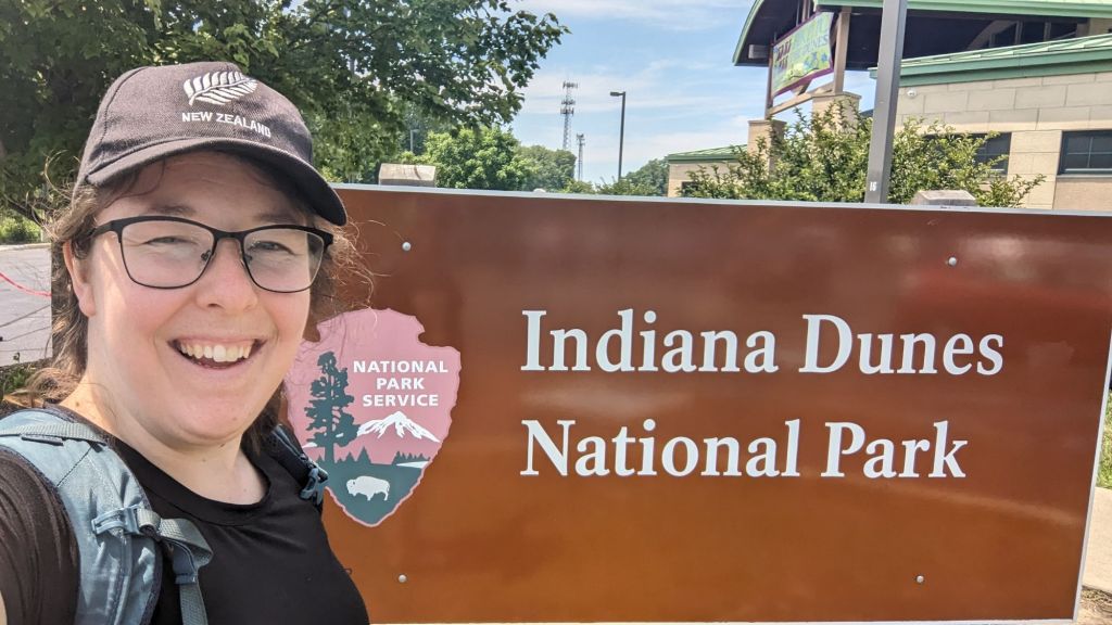
Next up was a stop at the Visitor’s Center to pick up an annual park pass and get my picture by the sign…

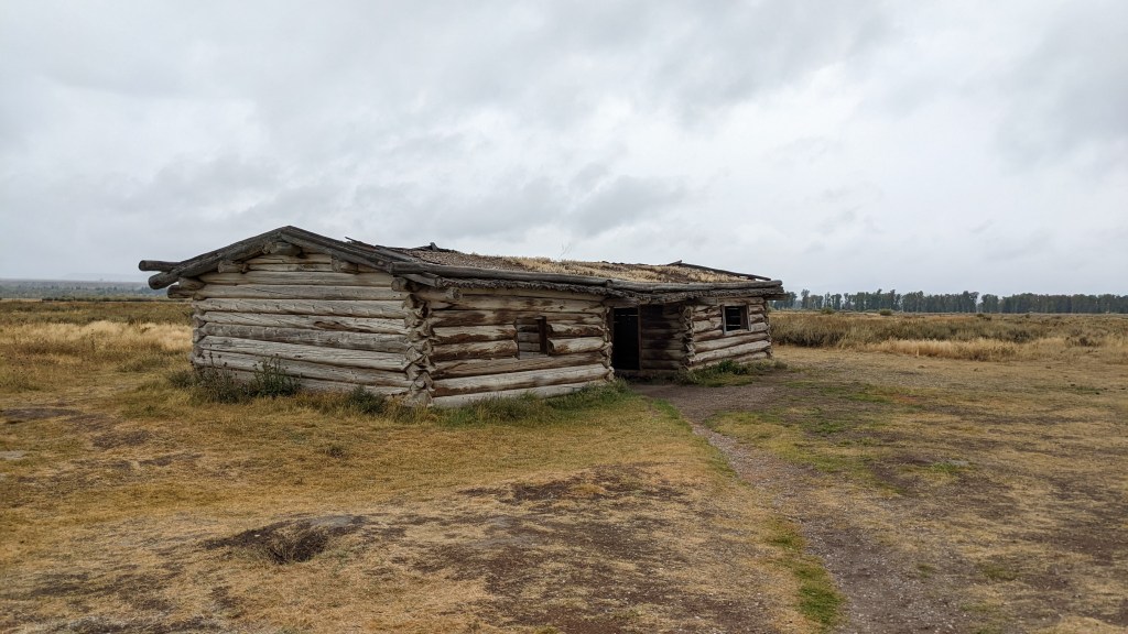
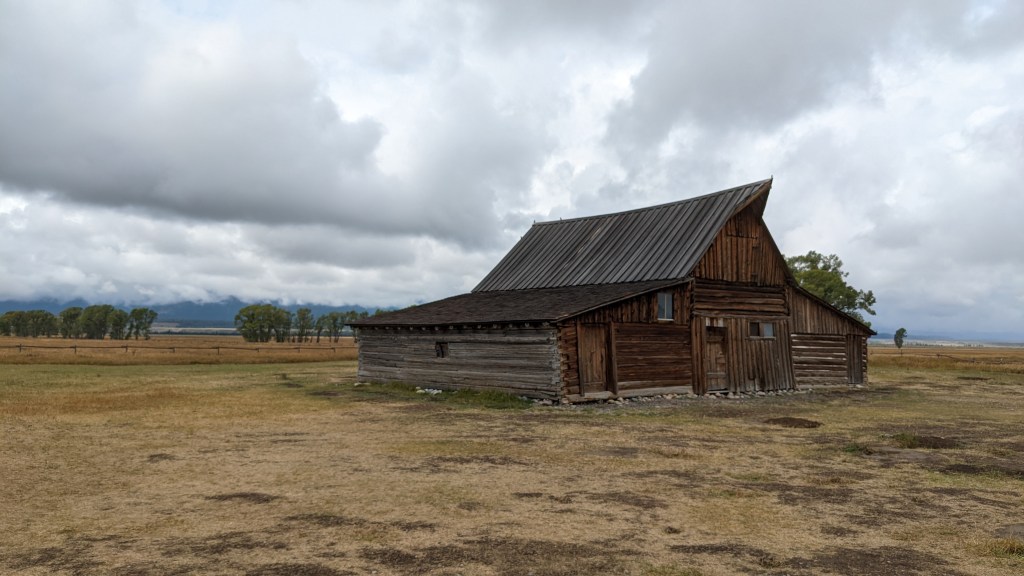
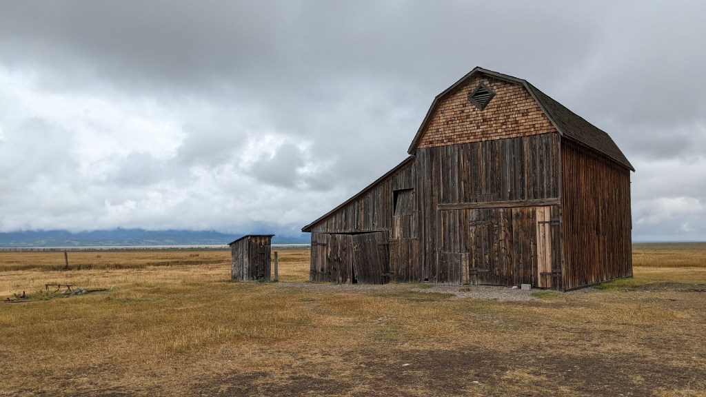
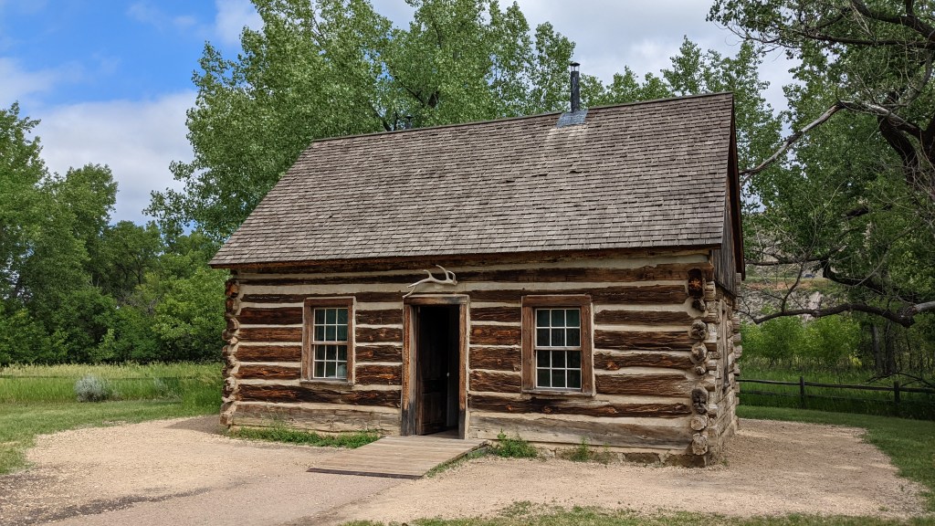
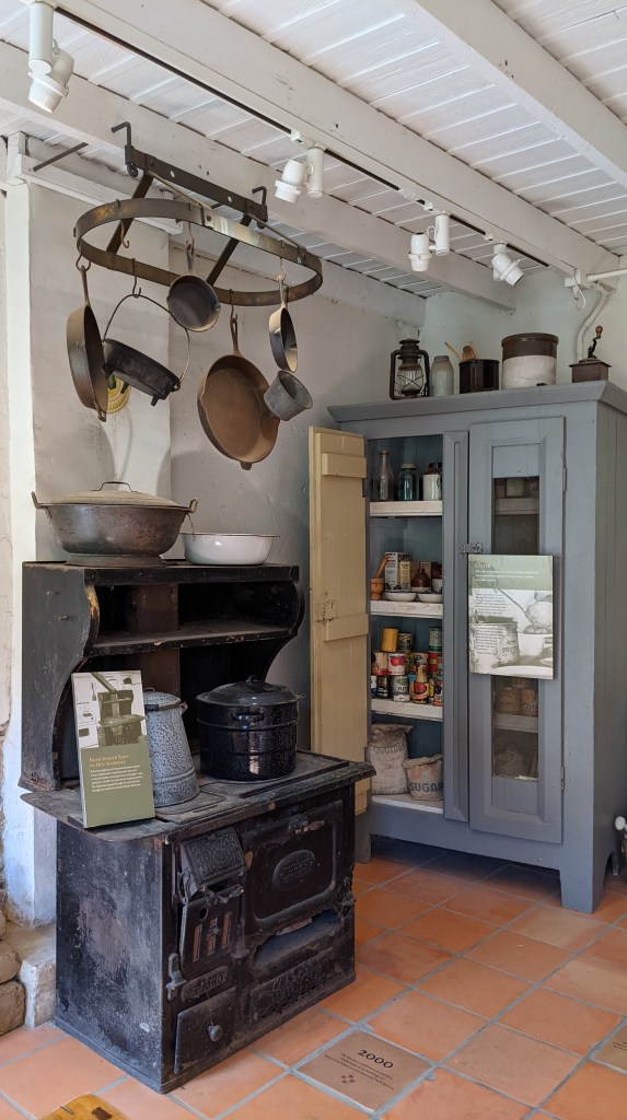
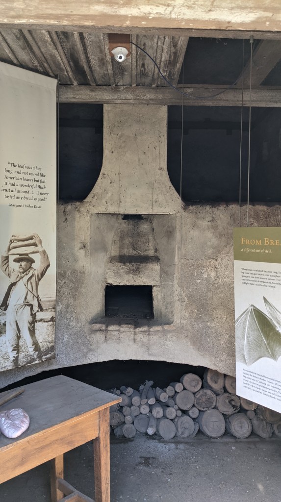
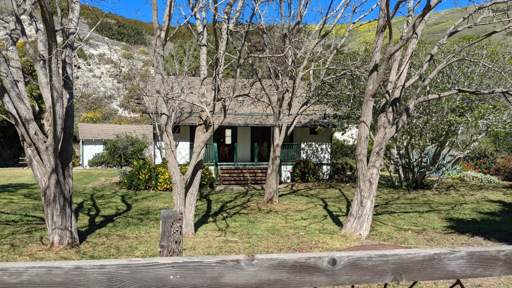
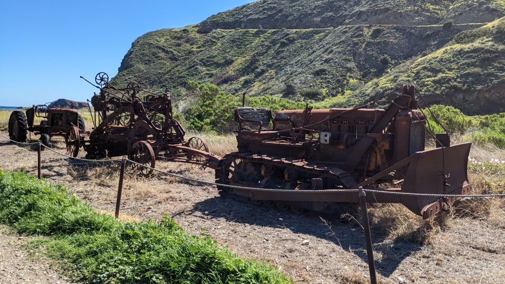
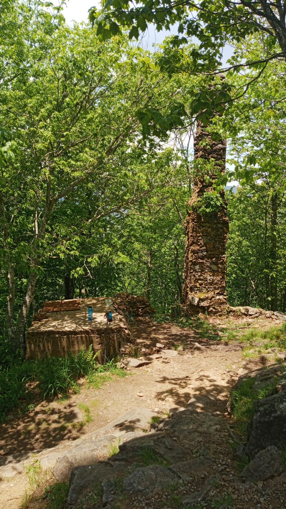
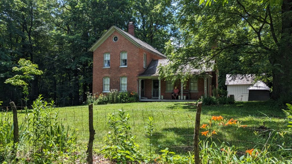
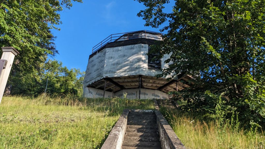
Then it was off to explore the old Bailly Homestead and Chellburg Farm. I like old buildings, so this part was somewhat interesting to me, but I wouldn’t put it on a list of must-dos.

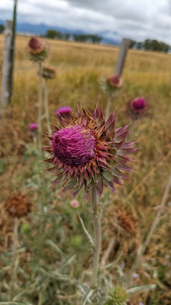
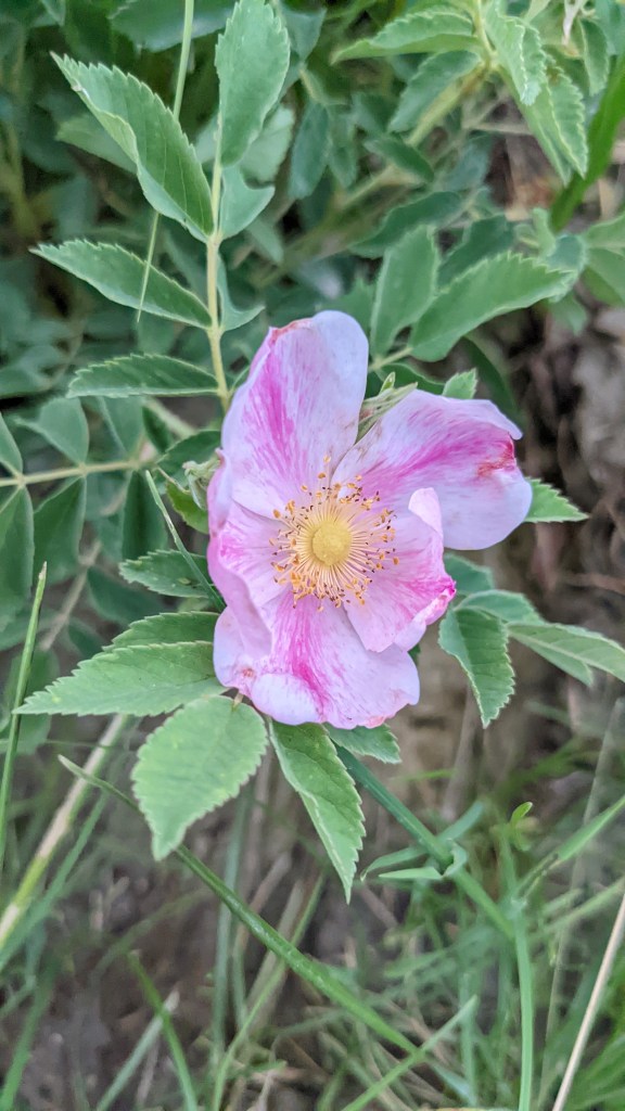
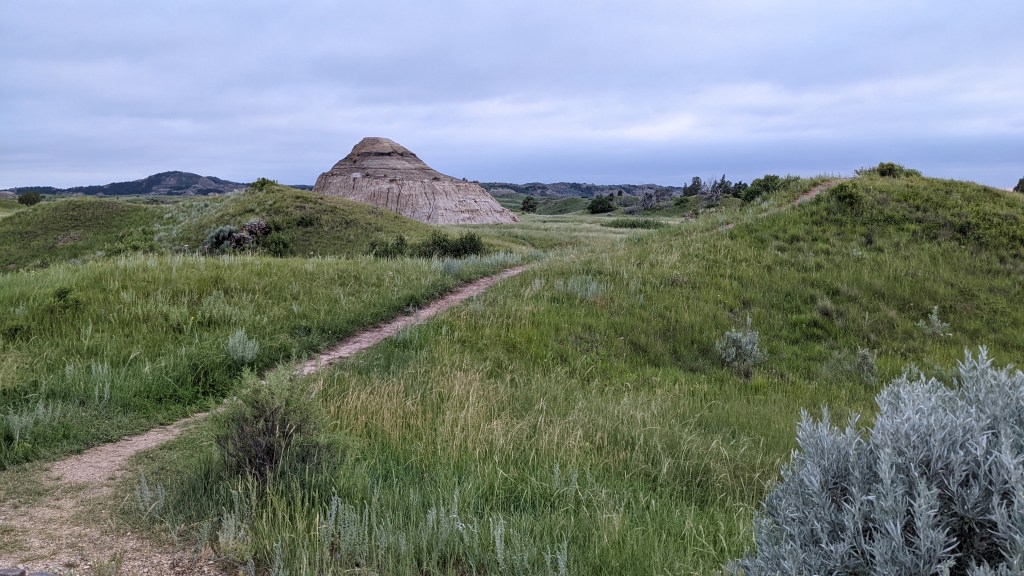
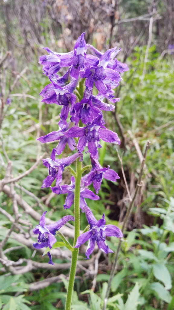
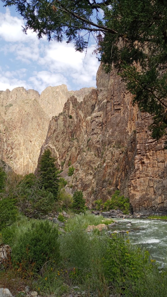
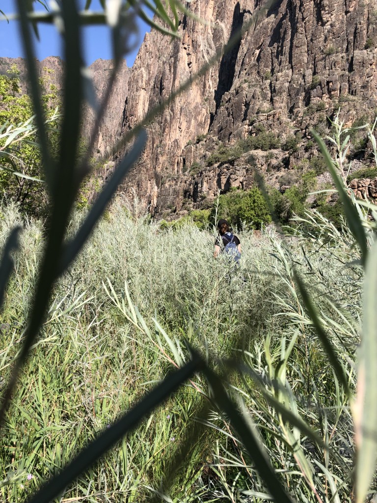
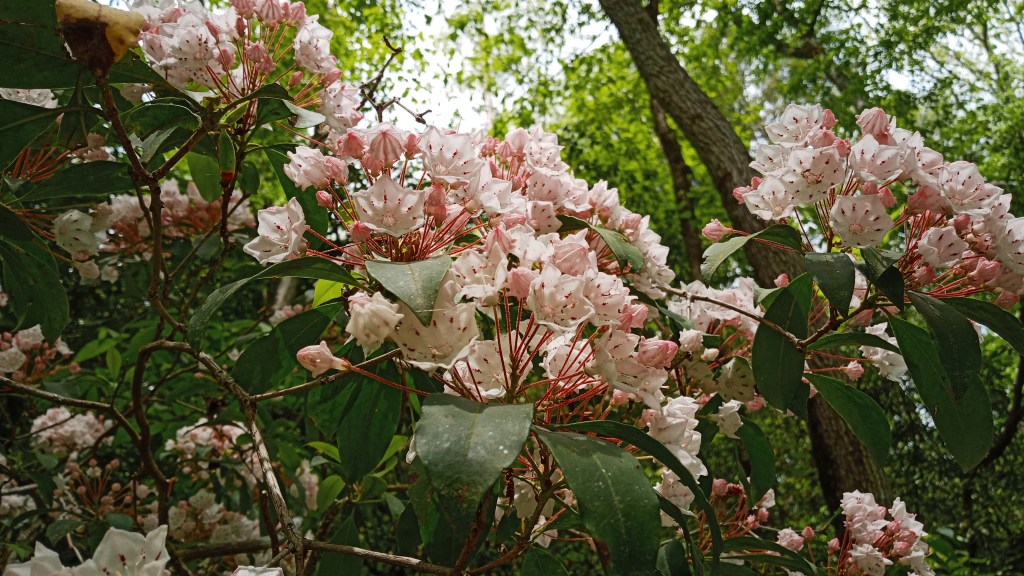
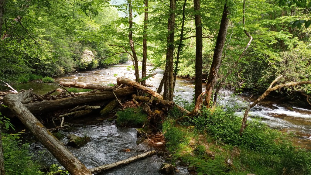
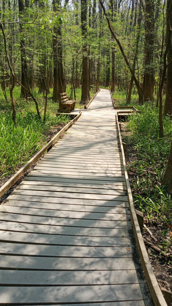
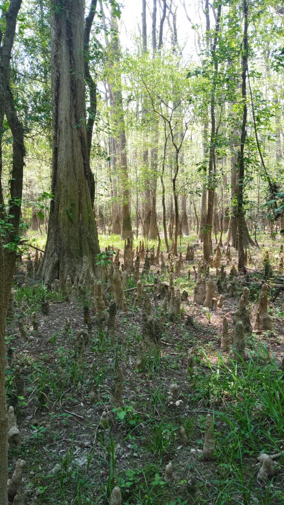
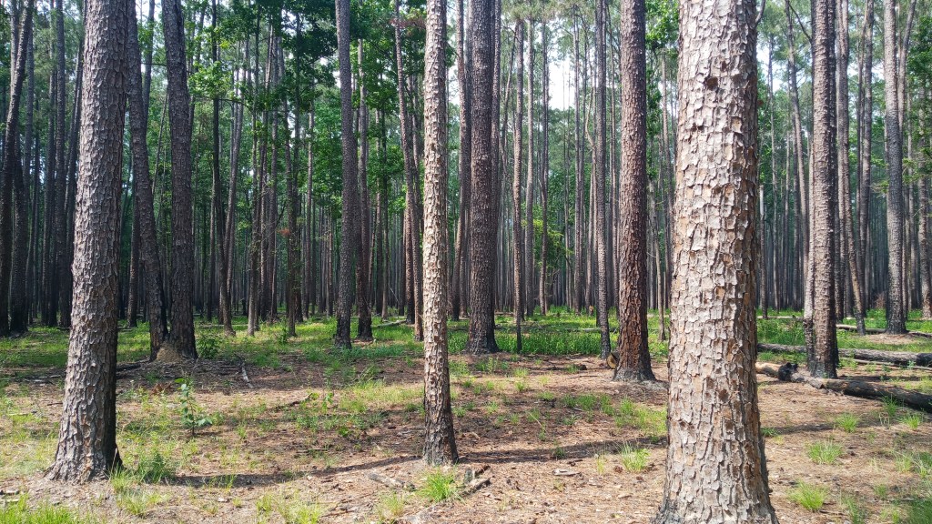
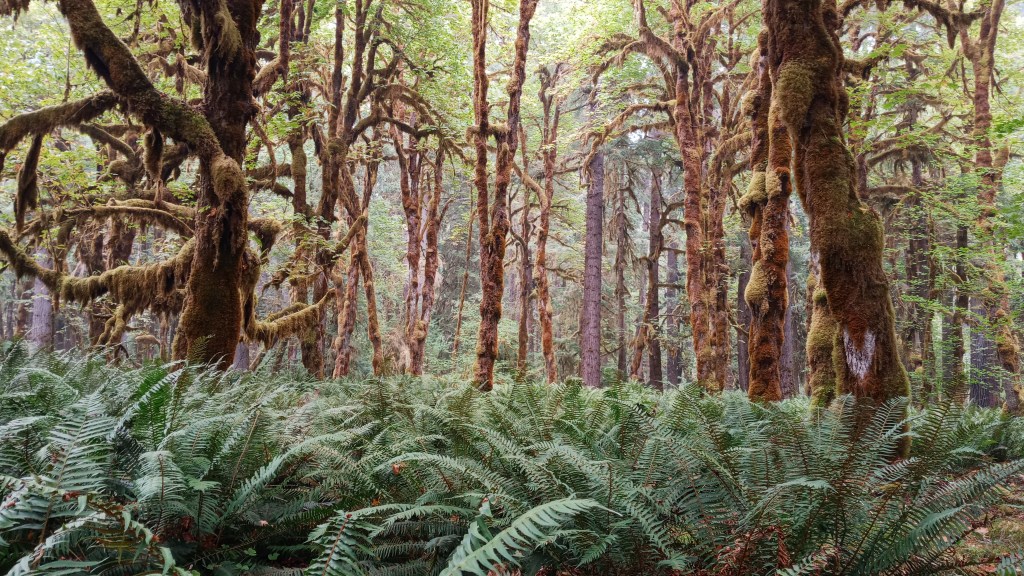
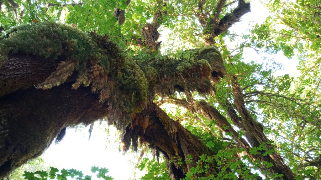
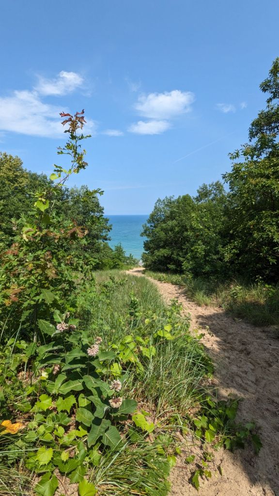
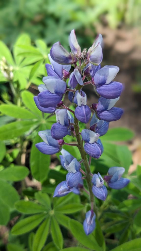
Next up I decided to hike the 3.4 mile (RT) Paul H. Douglas trail, which led to the lakefront. It’s a rather flat trail, but the sandy terrain definitely slows hiking speeds. I really enjoyed the variety of terrains the trail traversed, especially the globally rare black oak savannah. Also spotted some wild lupine!

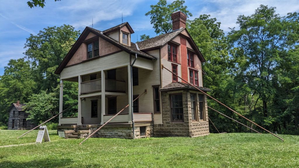
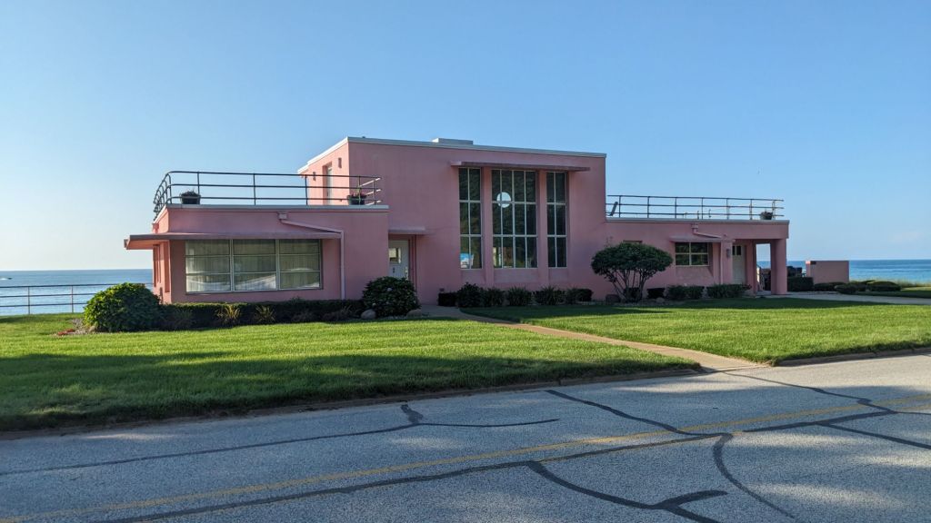
Probably my favorite attraction in the park, however, was the Century of Progress Homes. Originally built for the 1933 Chicago World’s Fair to showcase up-and-coming materials and designs, these five homes were later relocated to the lakefront as part of a plan to create a resort community. These plans didn’t quite come to fruition, however, and the land was acquired by the National Park Service in the 60s and 70s. The houses continued to deteriorate until the non-profit Indiana Landmarks leased them from the park service; they then sub-leased four of the five houses to tenants willing to restore them. Today the houses are only open to the public one week a year, but you can still view them from the sidewalk and read the informational signs they have posted.

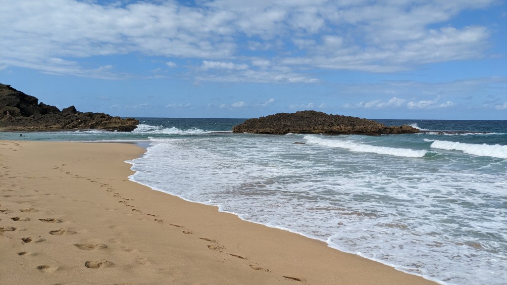
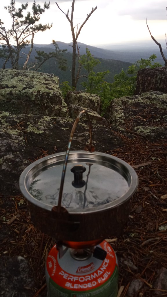
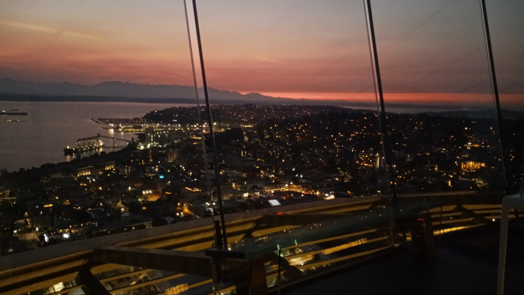
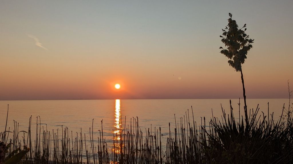
Daylight was running out on me, so I decided to finish out the day with dinner on the beach! I was lucky and got a really pretty sunset to boot.

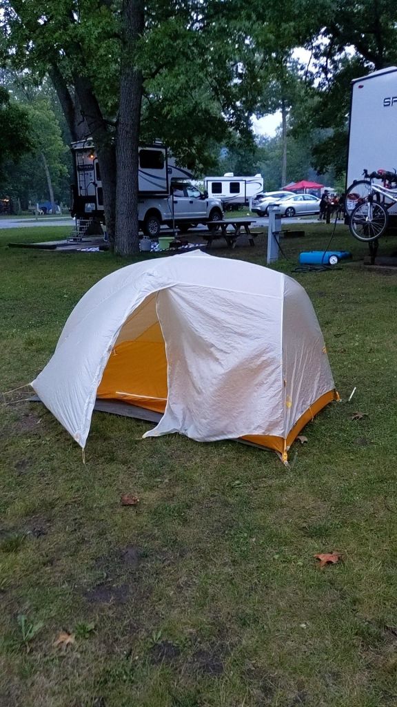
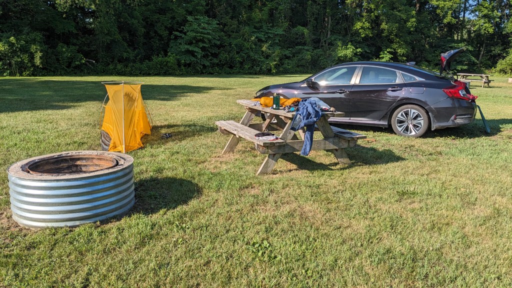
That night I crossed my first state border into Michigan and stayed at my first free campsite, just outside of the small town of Bloomingdale. It ended up being one of the nicest free camps I would have on the whole trip – fire rings, picnic tables, and privy included!

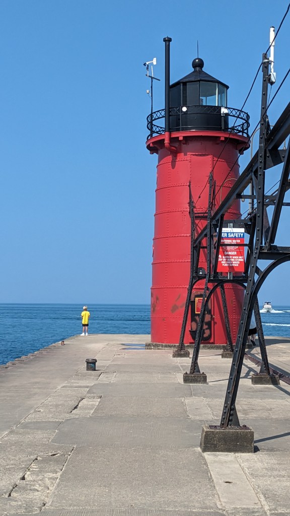
I packed up and headed for South Haven, Michigan, a very cute little town on Lake Michigan. My primary goal here was to see their iconic lighthouse and grab a nearby letterbox.

It just so happened to be the Fourth of July, and of course South Haven had a parade, so getting out of town was a little trickier than I had anticipated. I had planned on Holland being my next stop – I was eager to visit the Windmill Gardens and Holland State Park after having visited earlier in the spring – but traffic ended up being really bad, so I skipped to the next location on the itinerary, Grand Rapids. I’m a history buff, so naturally I was drawn to the Gerald R. Ford Presidential Museum, and it felt even more patriotic being there on the 4th!

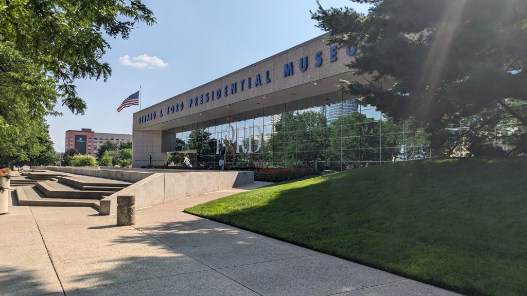
Personally, I found it really interesting learning about the only U.S. President who wasn’t voted into office, particularly how he dealt with the fallout from the implosion of the Nixon administration. And regardless of politics, he seemed like a really decent and admirable man – a rare treat for a politician.

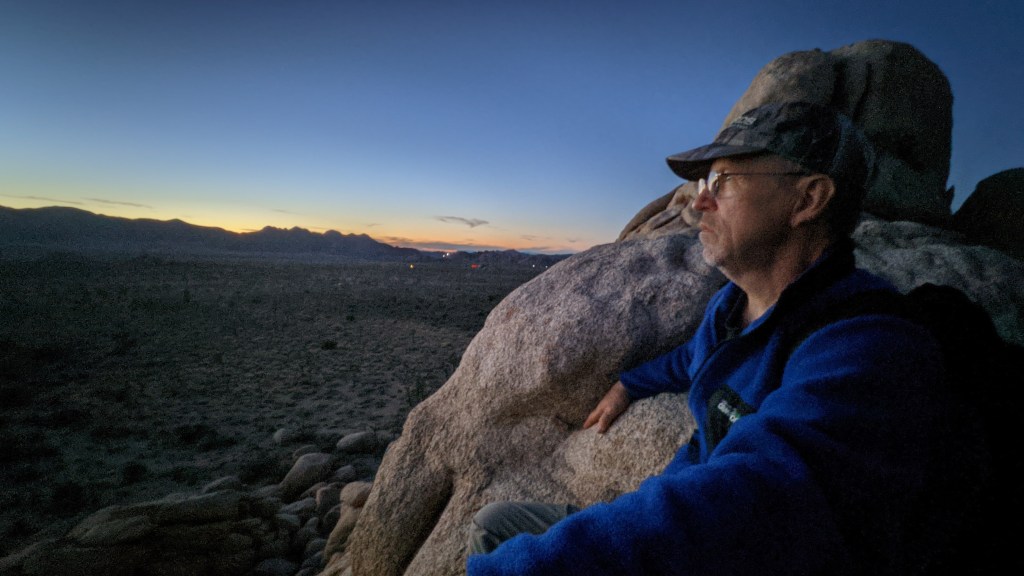
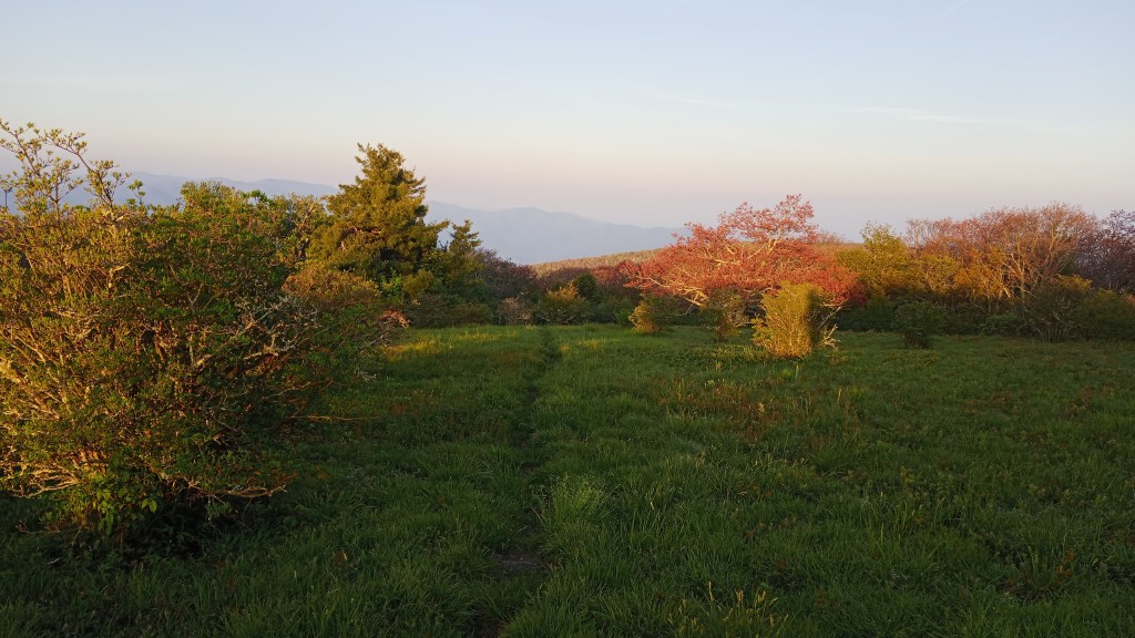
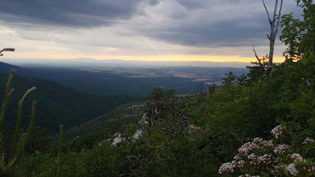
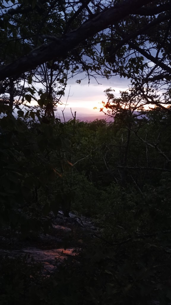
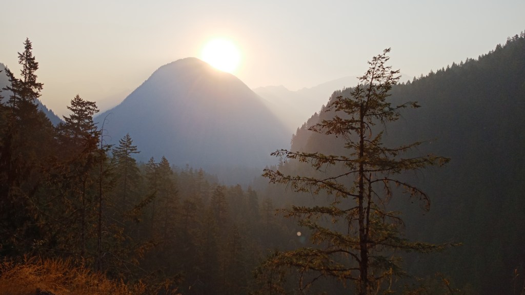
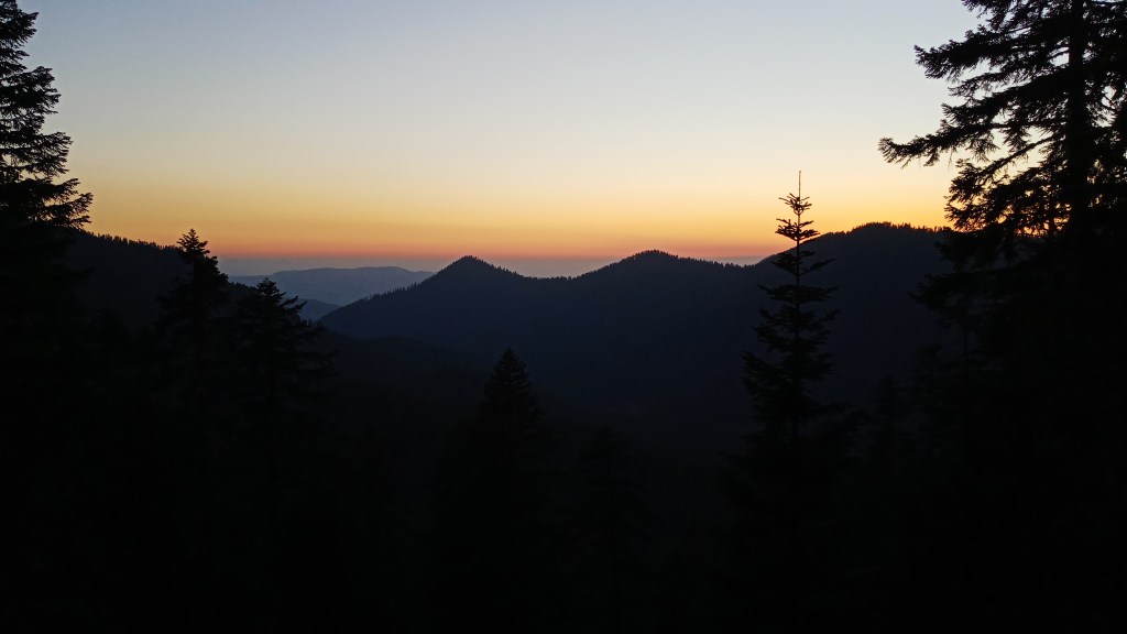
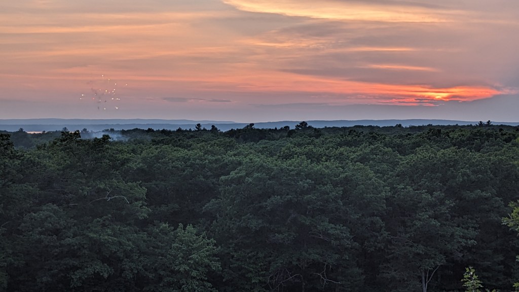
After Grand Rapids, I continued north and was happy to catch some sunset fireworks from this viewpoint! It had felt kind of strange to spend the Fourth alone after having spent it with friends for several years, so it was nice to have some of the tradition at least.

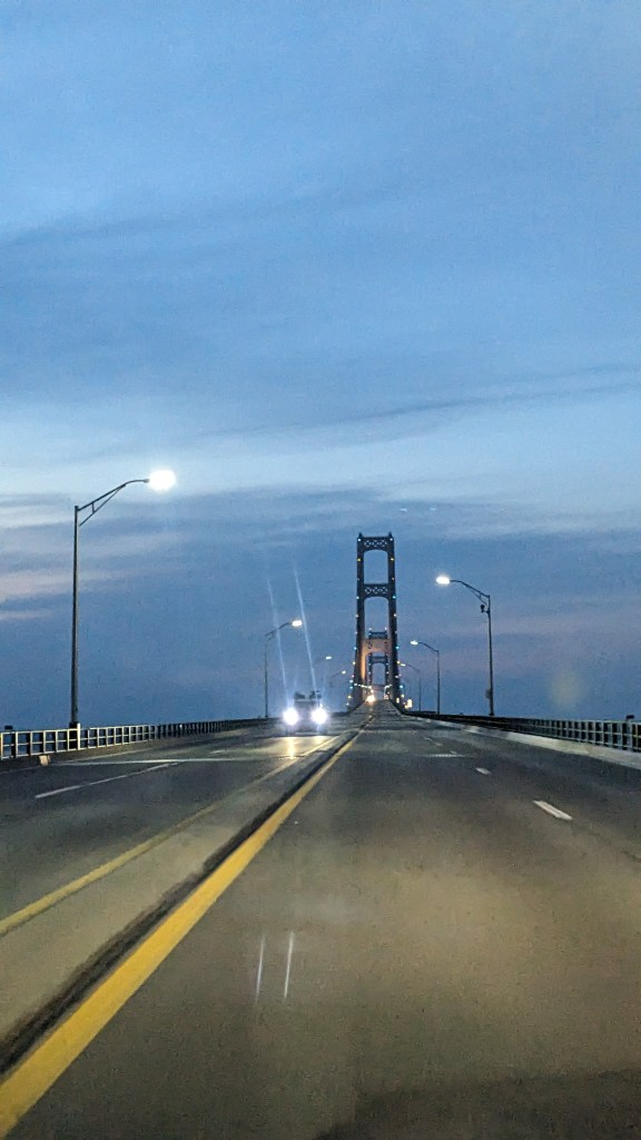
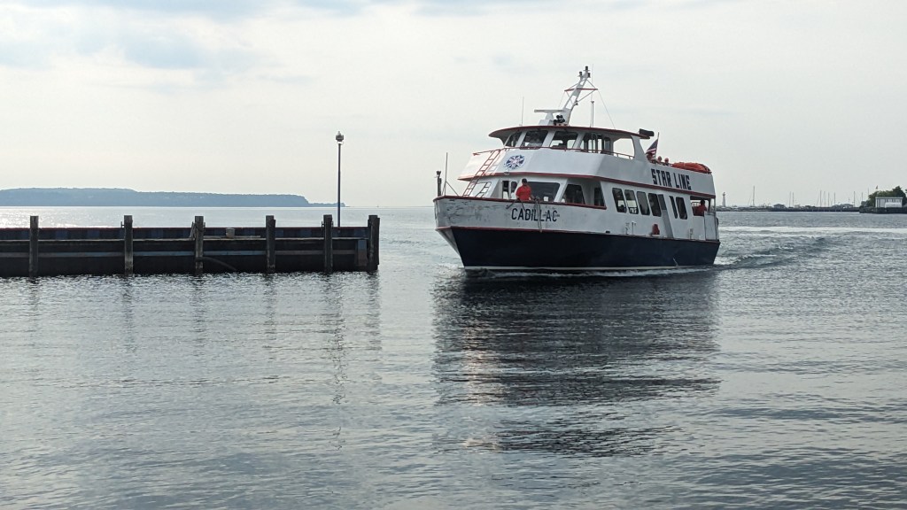
I crossed the Mackinac Bridge for the first time in my life – very cool! – and grabbed a free campsite nearby.

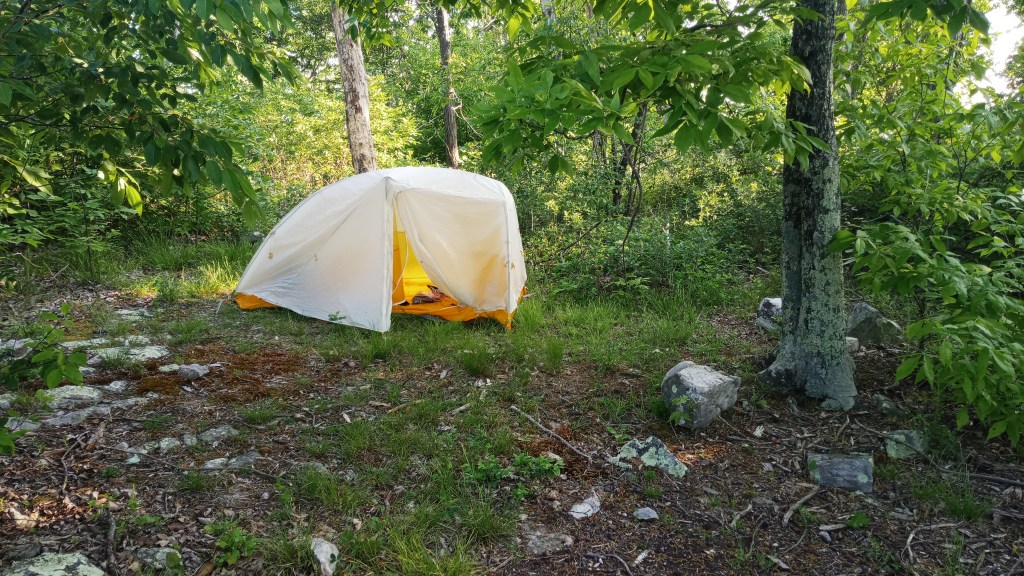
The next morning I was up early to catch the ferry to Mackinac Island. I packed up most of my belongings but left my tent, sleeping bag, and sleeping bag to claim my spot, since I was planning on returning that evening. It was a nice spot, if rather buggy.

I boarded without a hitch, and off we went!

Mackinac Island was high on my list to see for two main reasons: one, my grandparents honeymooned here, so it’s a pretty meaningful place in our family history. Two, Mackinac Island was actually home to the nation’s second national park after Yellowstone! It was later turned over to the State after the fort, whose soldiers served as the caretakers of the park, was decommissioned – making it the first National Park to be delisted. As a National Parks nerd, I was really curious to judge for myself whether the island was National Park-worthy.

After docking, I scoped out a few of the shops…

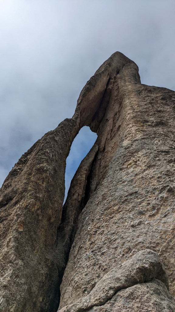
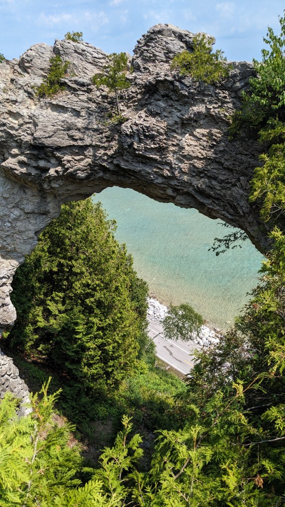
…Then decided to go the touristy route and rent a bicycle. For those unfamiliar, no cars are allowed on the island, so bikes are a really popular way to get around. One of the most popular routes is an 8.5 mile highway that encircles the island, and is the only US highway to not allow motorized vehicles. I thought it was a really great way to see the natural beauty of the island, namely Arch Rock.

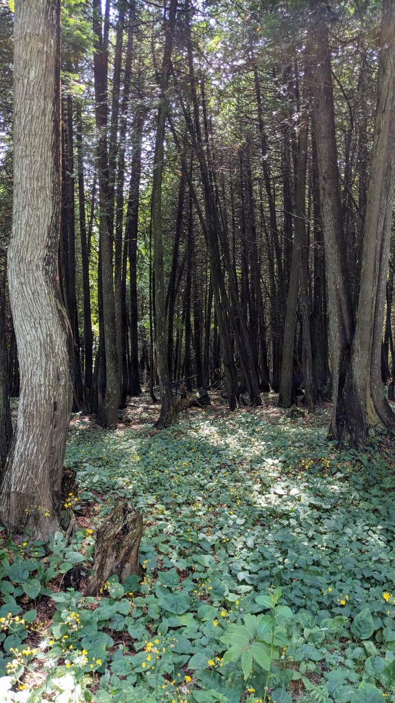
Afterwards, I tracked down a few letterboxes – there’s tons on the island! I had unfortunately left my supplies back on the mainland, but I was able to make do. It was also quite nice to escape the crowds a bit.

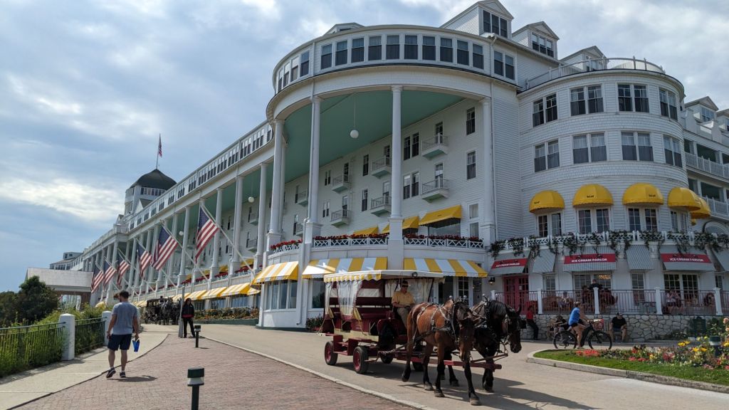
My next stop on the island was the Grand Hotel. When my grandparents honeymooned here, they only had enough money to buy a Coke at the hotel, so it was my goal to try and get a Coke there in their honor. Unfortunately, they only sold Pepsi products, and they charged a fee to explore the hotel, so my idea fell flat. At least the outside of the hotel was pretty!

Next I headed over to the site of Fort Mackinac. The fort was originally constructed by the British during the Revolutionary War, then eventually turned over to the Americans after they won the war. It saw the most action during the War of 1812, when the British recaptured it. It was again returned to the Americans upon their winning the war and afterwards served primarily as a strategic troop reserve. When Mackinac National Park was designated in 1875, it was the troops who served as park caretakers until both the park and the fort were decommissioned. Today it remains a popular destination as one of the few remaining intact Revolutionary War forts.

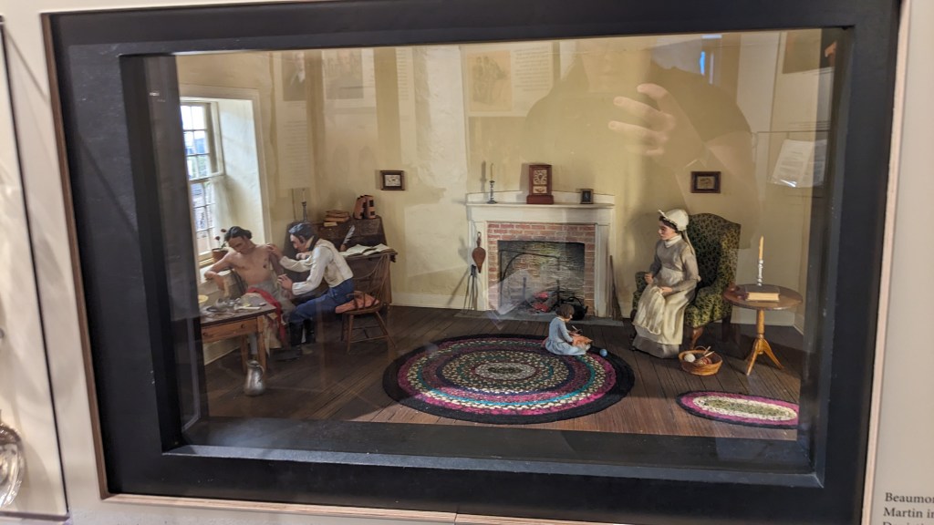
One of my favorite exhibits told the story of a visiting fur trader named Alexis St. Martin, who sustained an accidental gun shot wound to the stomach while on the island. Under the care of fort surgeon William Beaumont, he miraculously survived, though his wound healed in such a way that he was left with a hole that allowed external access to his stomach. Beaumont quickly realized that St. Martin’s case was an opportunity to study digestion and employed some quite unethical tactics to keep St. Martin in his care and perform over 200 experiments on him over 10 years. While undoubtedly amoral in nature, these studies yielded hugely significant medical findings for the time and moved the field of gastric physiology light years ahead of where it had been.

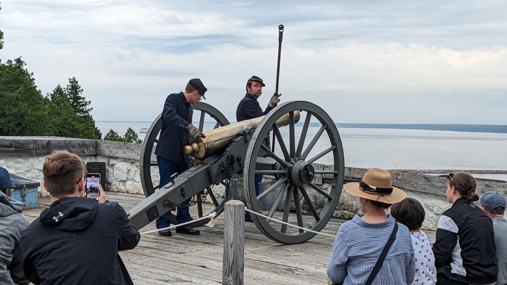
I also got to attend a cannon firing demonstration, which I thought was pretty cool!

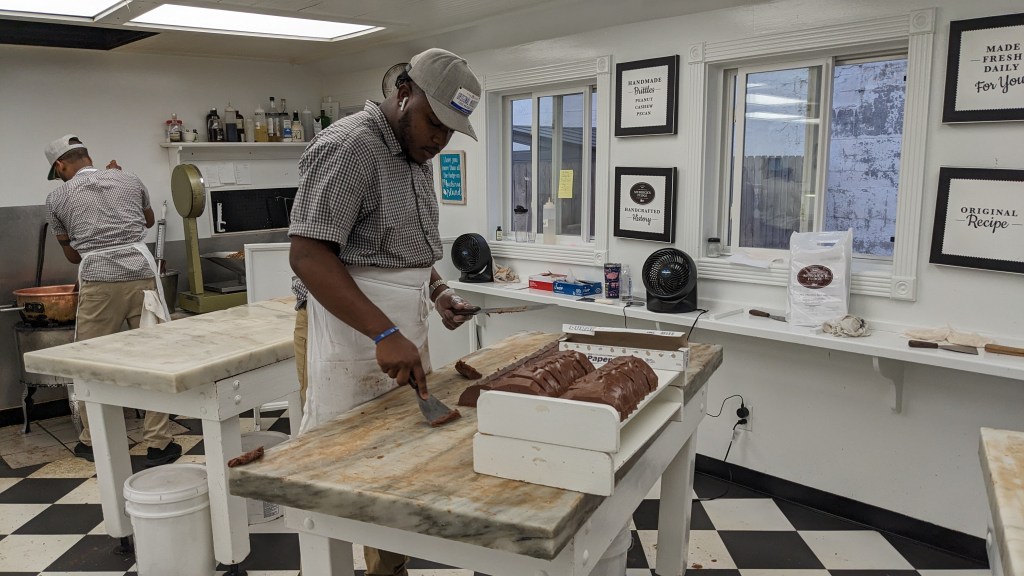
I raced around trying to see as much of the fort as I could before it closed, then picked up another letterbox and a souvenir for my grandma. I really debated purchasing some of the famous fudge, but decided to just stick with a free sample due to not having a refrigerator. The shop was neat though!

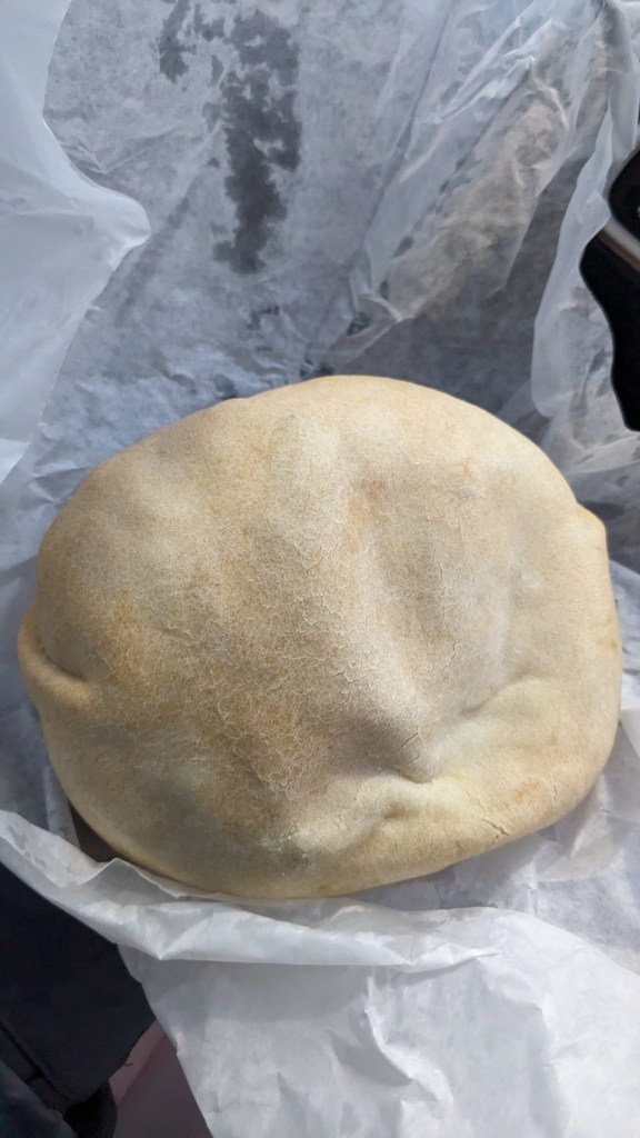
After a long day of running around the island, it was time to board the ferry for the mainland. Upon deboarding, I managed to find a shop that made pasties, a UP specialty consisting of meat and vegetables wrapped in a dough. Unfortunately, they weren’t able to heat mine up for me, but it was still pretty good cold! I also grabbed a Coke from the nearby McDonald’s since I wasn’t able to get one at the hotel – not quite the experience I was hoping for, but I was still glad to think of my grandparents enjoying the same beverage in at least the same vicinity some fifty years prior.

After bumming some wi-fi from the McDonald’s for a while, I drove back to my campsite, ready to turn in for some rest after a long day. Unfortunately, that’s not what happened: upon arriving, I realized that someone had stolen my sleeping bag and sleeping pad from my tent while I had been gone. The value of the stolen items was negligible – I was very thankful the thief had failed to realize my ultralight tent was much more valuable – but I was quite shaken at somebody having invaded my “home”. I decided to sleep in my front passenger seat that night to be safe.

After a fitful night of sleep (I never sleep well sitting up, and the theft certainly didn’t help matters any), I hit the road again, but not in the direction I had originally planned. I figured I could do without a sleeping pad for a few days, but I wanted a sleeping bag in case temps dropped. The rather sparsely populated UP just didn’t have many stores around, so I had to go back south across the Mackinac Bridge to Cheboygan in order to pick up a replacement sleeping bag. While I was there, I also picked up some groceries and did some more planning, then it was back across the bridge for the third and final time.

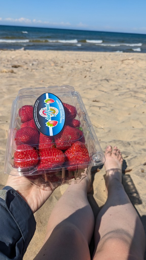
I arrived at my destination, Whitefish Point, Michigan, in the late afternoon. The area surrounding the point, which juts out into Lake Superior and is home to the Whitefish Point Lighthouse and the Great Lakes Shipwreck Museum, has claimed over one-third of the entire lake’s wreckages. I had planned to explore the museum that afternoon, but I arrived closer to closing time than I had expected, so instead I relaxed and ate an entire clamshell of strawberries while sitting on the beach. What luxury…

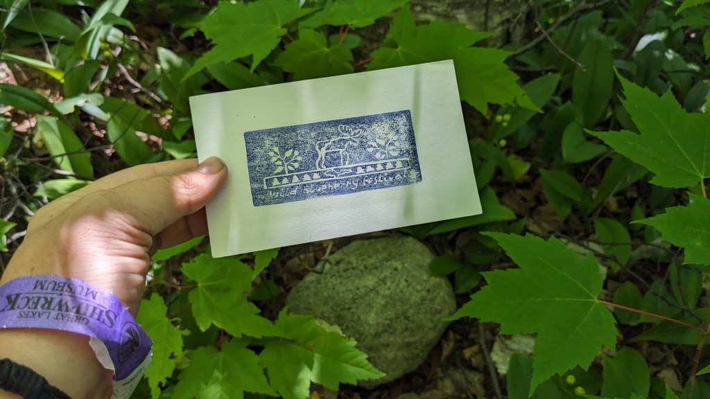
After enjoying the beach, I decided to go for a letterbox at a nearby cemetery. It was a rather sobering box, honoring the many shipwreck victims buried there.

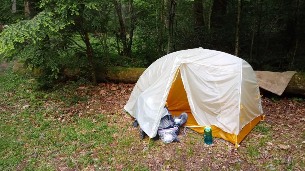
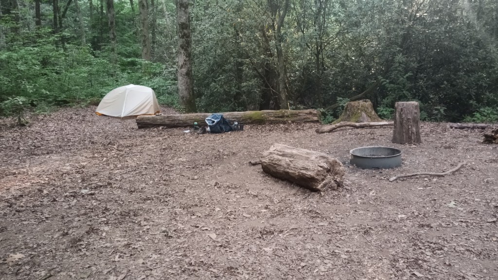
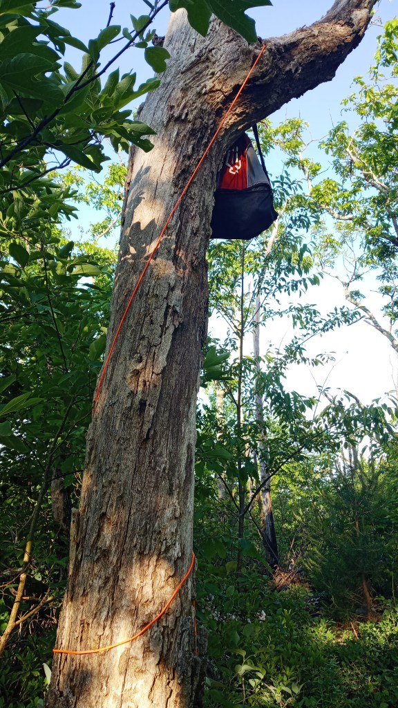
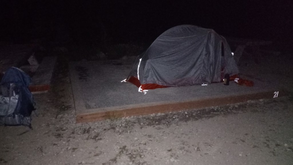
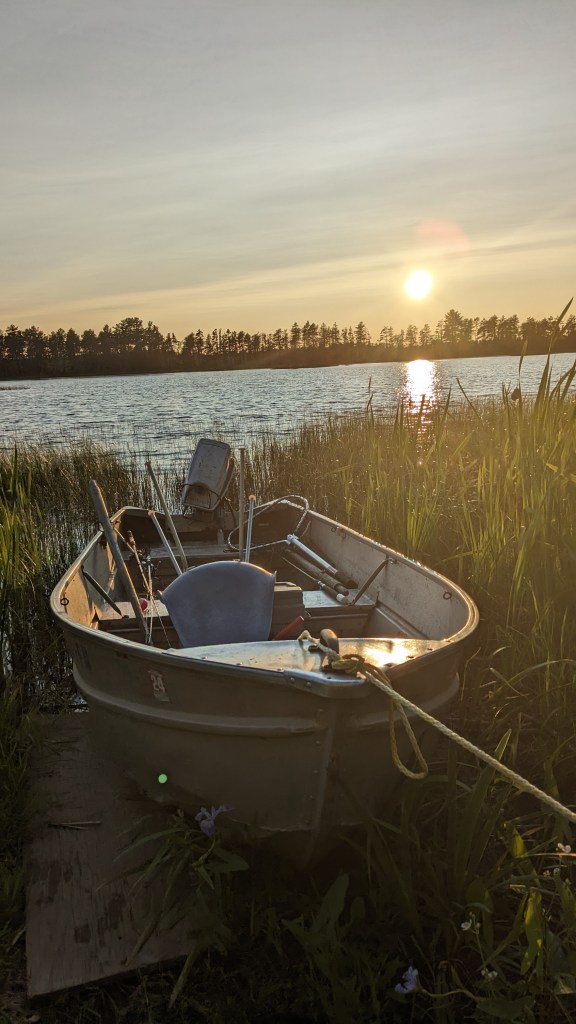
It was getting kind of late, so I headed to my campsite for the night. Even after the theft I wasn’t ready to give up on the free campsites entirely, but I was still pretty rattled and knew I needed to change my approach. After finding a good spot, I took an hour or so to rearrange my car so that I could fold down my back seat and lay on top of it with my feet in the trunk. Upon trying it, there seemed to be just enough room for me to stretch out, but the true test would have to wait until that night.

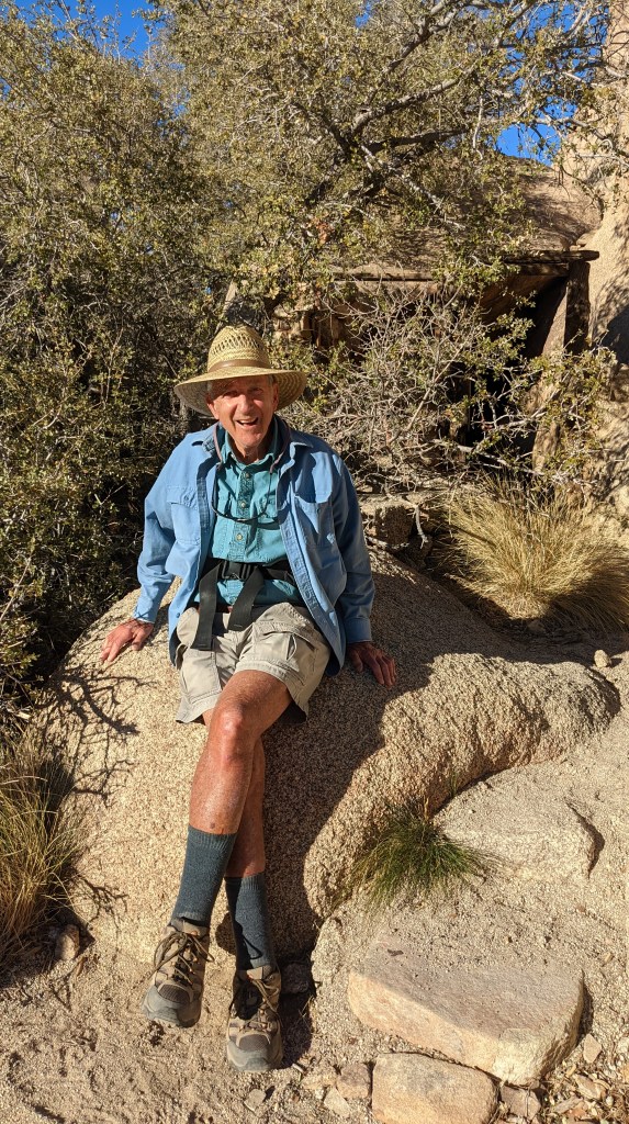
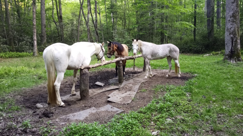
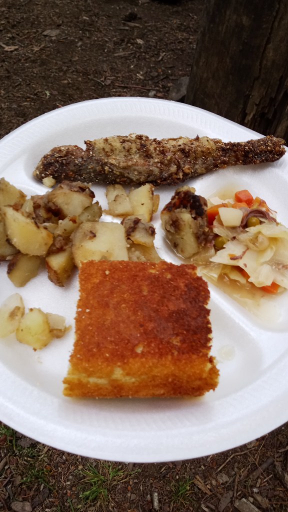
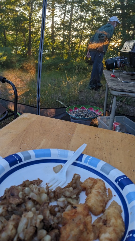
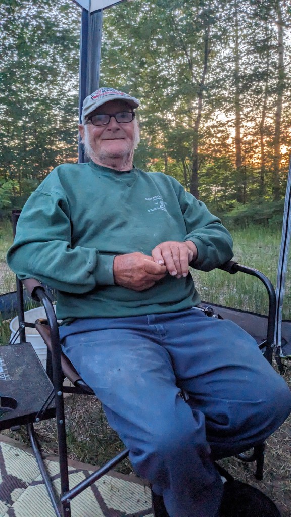
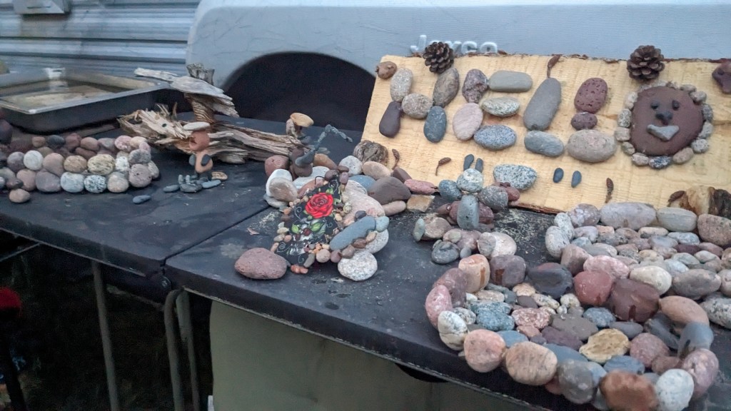
I grabbed another letterbox that so conveniently happened to be my planted close by my site, then struck up a conversation with my neighbor. He was a very sweet older gentleman who had already been camping a few weeks here at this point, spending his days fishing and enjoying the beautiful outdoors. He so kindly invited me to dinner, and I got to feast on fresh-caught fish and potatoes! We spent most of the evening talking, and he shared his hobby of creating rock art with me. When I turned in that evening, we agreed to have breakfast together before I hit the road again.

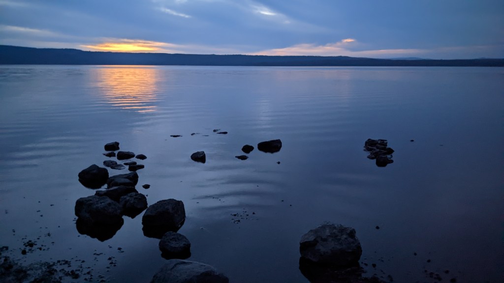
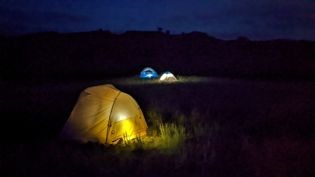
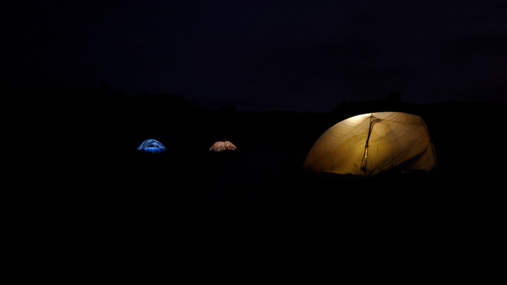
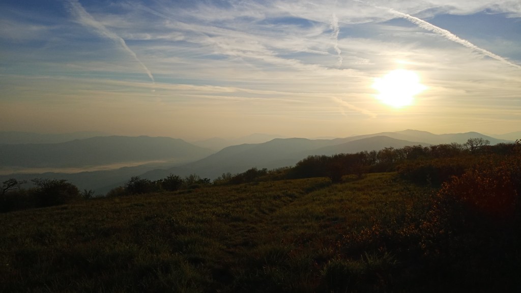
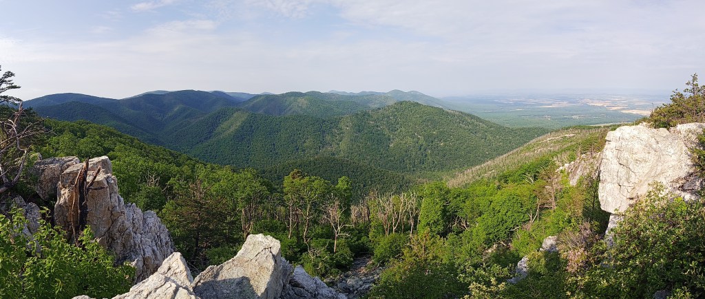
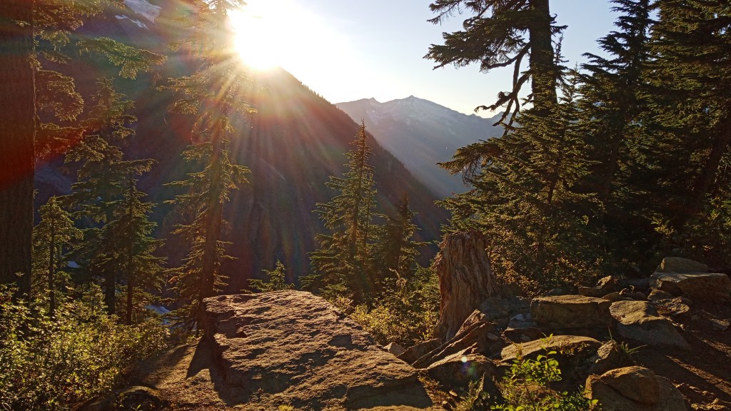
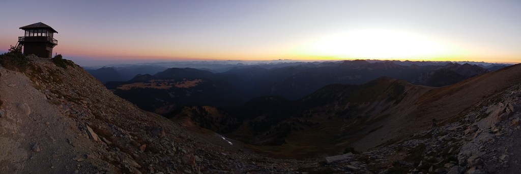
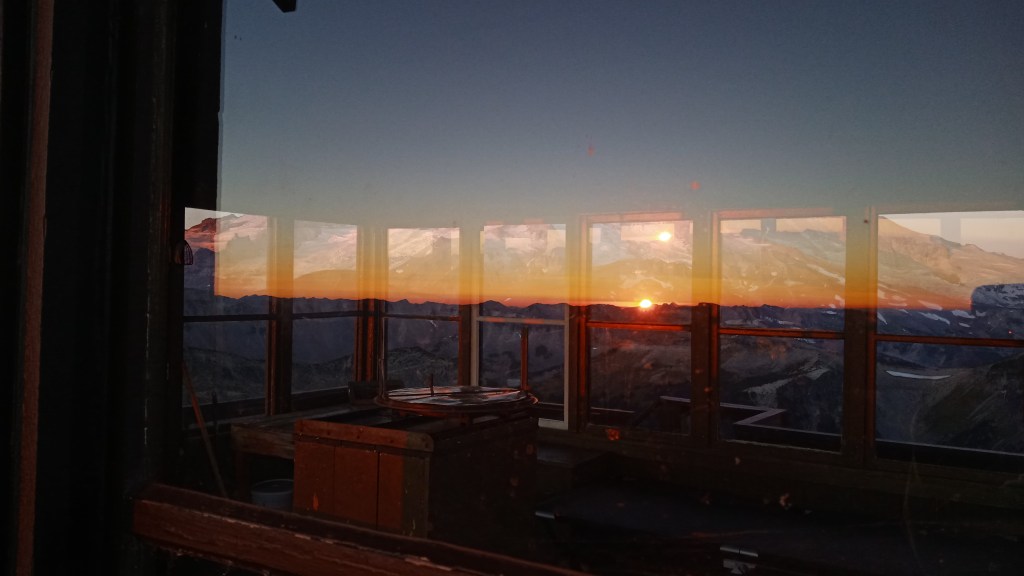
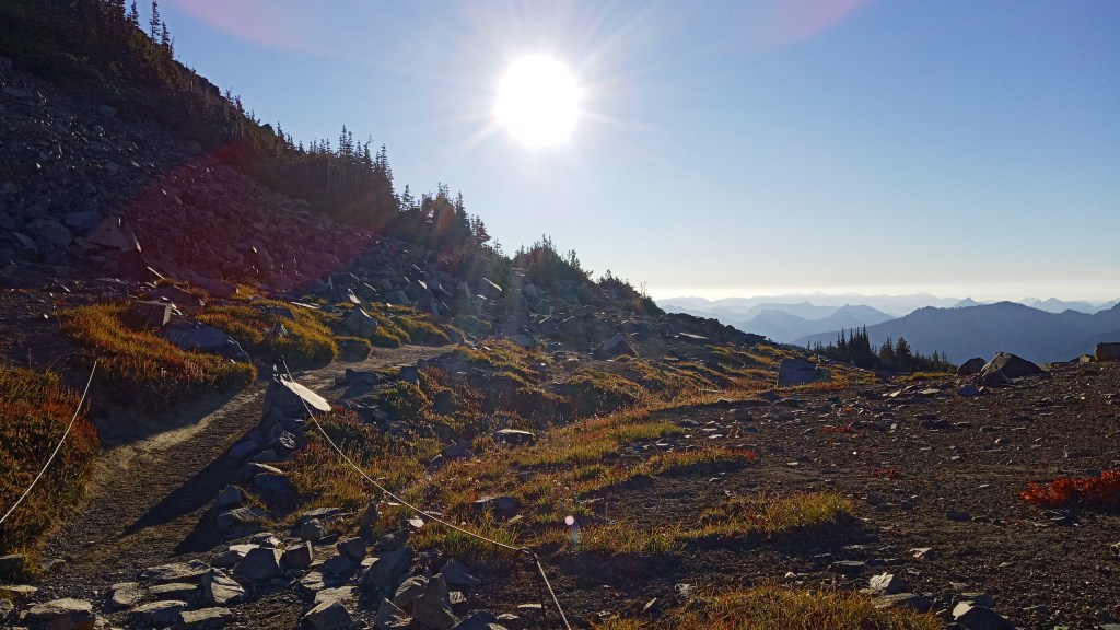
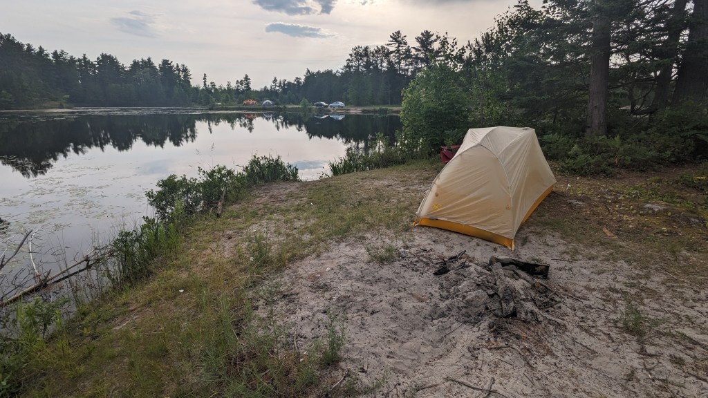
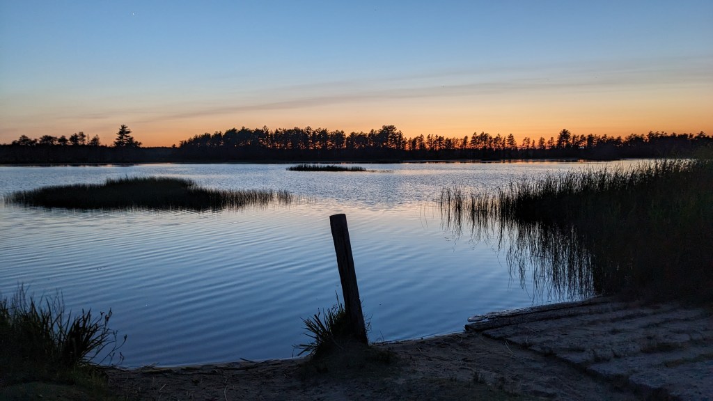
Also, just a fun little sidenote – I was amazed at how going just a couple of hundred miles north really extended daylight! This picture was taken at 10:05 pm: the sun had just barely gone down.

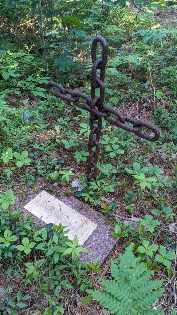
That morning I woke up refreshed and relieved: sleeping in my car had worked! I had a few concerns about how I would fare if the weather got warmer, but for now I was really pleased at the quality of rest I had gotten without having to compromise safety. I met my neighbor for breakfast, and just before we parted ways, he gifted me one of the rock sculptures he had created in the form of a cross. Such a sweet man – meeting him was a highlight of the week for sure.

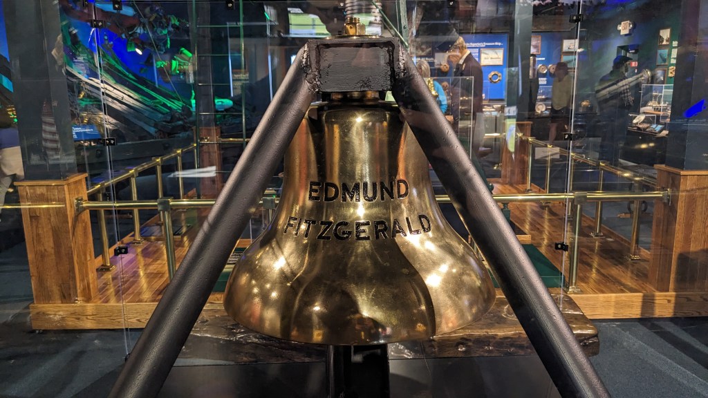
My first destination of the day was the Shipwreck Museum. I decided not to cut it out of the itinerary after missing it the day before, and I’m so glad I made that decision. The museum was overall fascinating if (inherently) quite sad. Probably the highlight for me was the items on display related to the Edmund Fitzgerald, which sank in a nasty storm in November of 1975 and has been immortalized in Gordon Lightfoot’s ballad “The Wreck of the Edmund Fitzgerald.” All 29 men aboard perished in the wreck; 50 years later, it’s still not known what exactly caused the ship, which at one point was the largest on the Great Lakes, to sink. The families of the victims requested that the bell be retrieved from the wreckage, which was done in 1995, and every year the bell is rung 30 times on November 10 – once for each of the crew members, and once in honor of all the others who have lost their lives on the Great Lakes.

After making my way through the museum, I hit the road again and grabbed another letterbox in Paradise, Michigan…

….before making a quick stop at Tahquamenon Falls.

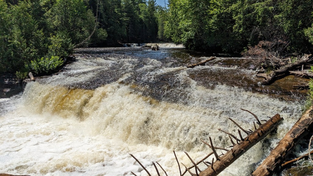
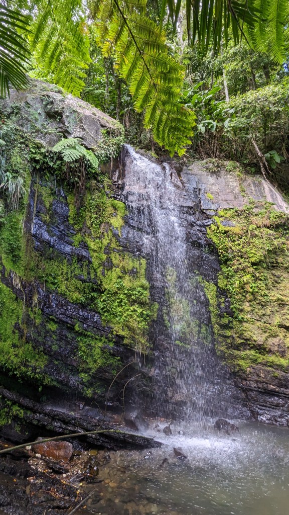
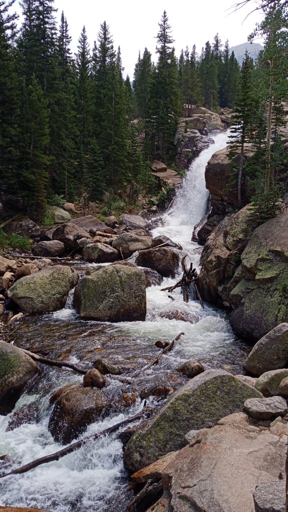
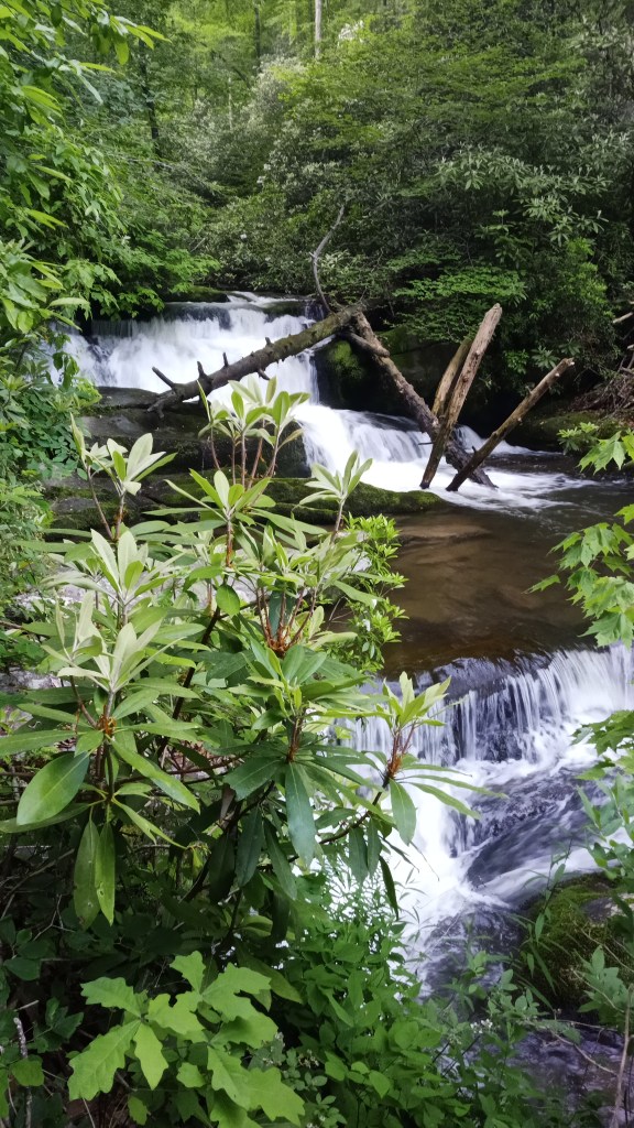
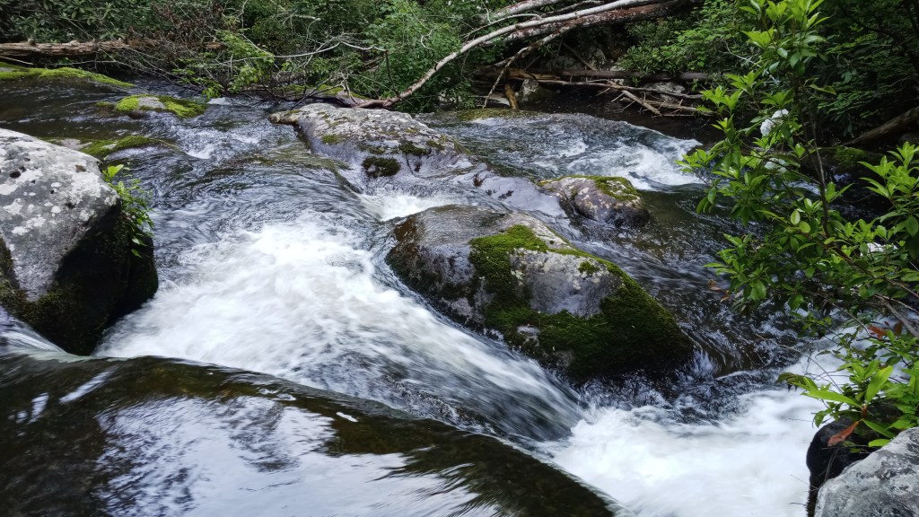
To be honest, I wasn’t overly impressed by the falls. It’s possible that I missed the better sites because I was in a hurry, but I think Cataract Falls in Indiana was personally more impressive.

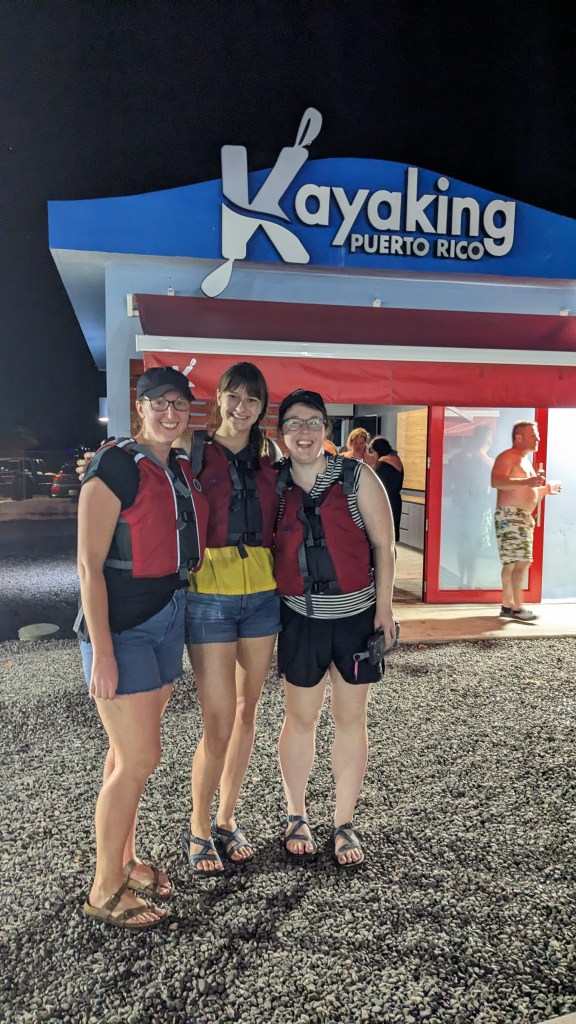
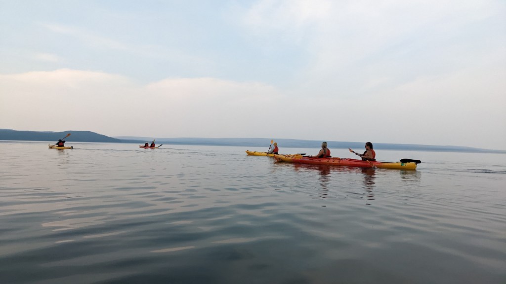
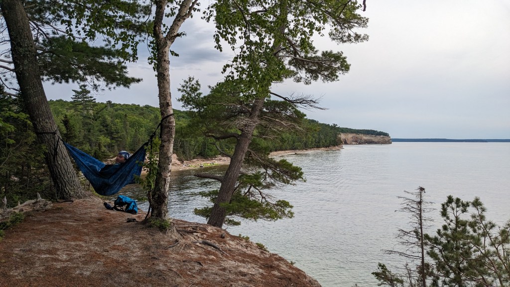
The reason I was in a hurry is because I had booked a kayaking tour on Lake Superior along Pictured Rocks National Lakeshore – or so I thought. I went with Uncle Ducky’s Paddling Michigan; they were super accommodating and were even able to switch my time slot when I realized I had actually booked for the following day. Whoops!

I didn’t have my phone out on the water, so unfortunately I don’t have many pictures to share. Probably the neatest part of the tour for me was getting to paddle over the wreckage of the ship George – the water was pretty clear that day, so we were able to see the boat’s frame protruding from the lake floor. Of course, it eased the conscious to know that there weren’t any casualties on that wreck!

I did take out my phone on our dinner break, and happened to stumble on my guide’s favorite spot to hang out. Talked with him for a little bit – nice guy!

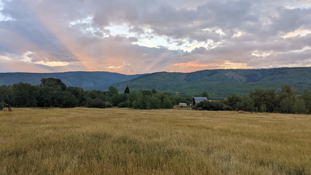
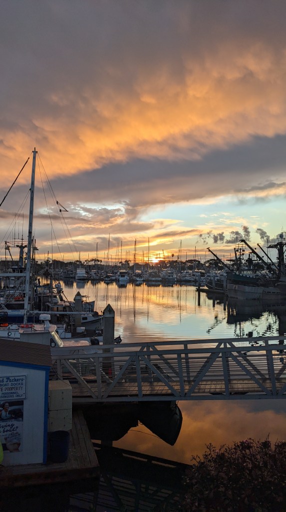
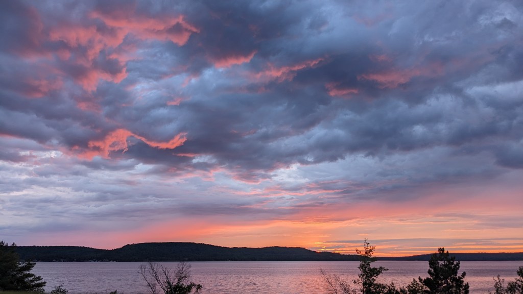
Back on land after the kayaking tour wrapped up, I got really lucky and caught a beautiful sunset on the lake. It was a great way to end a good day!

It also happens to be the way I end this post, as this marks seven days on my trip. If you made it this far, thanks for reading – I’ll try to get the next post out before too long!

An Island Escape

Welcome back y’all! A lot of life has happened since I made my last post, and I’m finally kind of settled down and ready to write. This post will focus on my trip with friends to Puerto Rico and the Virgin Islands, back in January of 2023.

When I travel, I frequently go solo, partly because I really enjoy the alone time, but also partly because my close friends don’t really enjoy the rugged travel style I’ve adopted. When I was researching how to best explore Virgin Islands National Park, however, I realized that this was a trip my friends could probably get excited about. Thus Meg, who I knew from work, and Quinci, one of my close friends from Greencastle, joined me on this adventure.

Because the Virgin Islands make up just one park, we decided to expand the itinerary to include visiting Puerto Rico. I had heard lots of good things and was excited to explore the island.

Come January, we landed in San Juan, Puerto Rico on Saturday evening, picked up our rental car and drove to our Airbnb. Tired from the journey, we decided just to order tacos to the apartment. It was soo good – definitely made us excited for the cuisine the rest of the trip!

Sunday morning we were up and off on a whirlwind of a day. First up was a tour of Hacienda Muñoz, a coffee farm just outside of San Juan. The coffee of course was delicious, and it was really fascinating to see and hear how the coffee was produced from start to finish. My favorite part was probably seeing the machinery used to roast and sort out coffee beans by size.

We had to cut out slightly early in order to make it to our next stop: a Don Q rum tasting and tour at Castillo Serrallés in Ponce. Fun fact: Puerto Rico is known as the rum capital of the world, with up to 70-80% of the world’s rum originating there. Brands like Bacardi and Captain Morgan are most well known, but Don Q was equally as delicious in my opinion.

Our tour guide was great. I was fascinated by the fact that Don Q ages its rum in barrels that are first used to age Kentucky bourbon. We also learned a good deal about the Jones Act, which prohibits goods from being shipped on anything other than American vessels when being shipped between two American ports. This rather obscure act heavily impacts the Puerto Rico economy, forcing the costs of goods higher – which is significant when nearly all of the island’s goods are imported and nearly half the population lives below the poverty line.

After the tour, it was time for our Mixology class. Two drinks were included, an Old Fashioned and a Piña Colada, and they were absolutely delicious. Beautiful weather, beautiful setting, and tasty drinks: spirits were high (pun intended)!

Afterwards, we took a little time to explore the gorgeous grounds, which look out over the city of Ponce. It was a good opportunity to ride out the neurological rollercoaster we had put ourselves on: first caffeine and then alcohol!

Our final stop of the day was the salt flats at Cabo Rojo on the very southwest corner of the island. In my research for the trip I had stumbled upon pictures of salt flats with beautiful light pink water, and I was fascinated. When we got there, however, the sights were a little underwhelming. Apparently the color changes frequently and is highly dependent on many factors, including tides, salinity, and algae and bacteria levels. Nonetheless, it was still neat to see the salt deposits, and the water did look slightly reddish/pinkish if you caught it in the right light. All the same, I probably wouldn’t recommend going out of your way for this one unless you know for certain that the colors are strong.

We didn’t stay for too long, as we had managed to cross the entire width of the island and had over a two hour’s drive back to San Juan. We were famished after a long day, though, and stopped for dinner at a restaurant, I think in Ponce. I got to try mofongo, which is a traditional Puerto Rican dish made from mashed fried green plantains. Mine was served with a chicken stew over top. Tasty, though very filling!

Monday we were up and off again, this time to El Yunque National Forest a little ways outside of San Juan. It’s the only tropical rainforest in the U.S. National Forest system, so I was pretty excited to experience it. We started off by climbing Yokahú Tower and got some great views.

The next stop was Baño Grande and Baño de Oro, which translates to Big Bath and Bath of Gold. These were two pools constructed by the CCC (or “Los Tres C’s”, as it was known in PR), under FDR’s New Deal. I don’t know about you, but it had never dawned on me that the CCC might have existed outside of the mainland, so that was a pretty neat discovery. The pools are no longer open to swimming, but they were still really pretty.

Next up, we stopped at La Coca Falls. So beautiful! We had the option of going off the beaten path and exploring a bit, and I’m so glad we did.

All in all I’d say El Yunque is a neat stop for a day or half-day; it does have a permitting system in place that made our lives kind of difficult, but that was partly because I didn’t book far enough in advance. There was also a fair bit of construction happening while we were there, but I’m guessing that’s probably finished by now.

Tuesday we realized that we were pretty tired from the previous few days, so we decided to sleep in and take a beach day. We ultimately decided on La Posita Del Obispo Beach near Rincón for our destination – but first, food of course! These fried cheese cubes were delicious.

The beach was gorgeous. Rock formations create a shallow pool good for swimming and also allow you to climb up and get good views. We sunbathed a little, swam a little, and explored a little.

That evening we had booked a nighttime kayaking tour near Fajardo, which is home to one of Puerto Rico’s three bioluminescent bays. Living in the waters of the bay are microorganisms called dinoflagellate, which, when disturbed, emit a blue-green light. Depending on conditions and the number of dinoflagellate, the whole bay can glisten with the light from these tiny creatures. Unfortunately, the night we went was not one of those nights, but it was still a really neat experience.

We were in tandem kayaks, and I got lucky enough to be paired with one of the guides, Noel, who pointed out interesting sights to me the whole time. We had to paddle through a mangrove forest to get to the bay, which was a slightly eery but neat experience – spotted many iguanas along the way. Once we got out to the bay, we still got to see the glow – we just had to go literally undercover! We had all packed out tarps, and one person would stir up the water to produce the glow while the other would put the tarp over their head to block out any light and watch the water sparkle and gleam. The guides also brought laser pointers and used them to point out stars and constellations in the night sky.

Overall I thought it was a really neat experience even if the water wasn’t as bright that night, and I’d recommend it. There were multiple kayaking companies to choose from; we went with Kayaking Puerto Rico and thought they were good.

I don’t have any photos of the water itself since I didn’t take my phone out on the water, but I highly recommend googling it! I do have this one of the three of us once we got back on land.

The next morning we awoke abruptly and packed up in a hurry. Our airline had bumped our flight up rather last minute, and we were cutting it close on time. We made it, but unfortunately in the rush I forgot to pack my knife in my carry-on, so it got confiscated, and I left my satellite tracker back in the Airbnb: not a good thing to lose two methods of self-defense as a young female traveler.

The flight to the Virgin Islands was pretty short and smooth, so much so that we never hit high enough altitude for the seatbelt lights to go off!

The flight was only the first leg of the voyage: we landed on St. Thomas Island because it’s the only island with an airport, but the National Park, which is what we were most interested in, is solely on the neighboring St. John Island. To get there, we took a taxi from the airport to the ferry dock and then a ferry over to Cruz Bay on Saint John. Once we docked, we took a second taxi to get to our accommodation/base camp at Cinnamon Bay Campground on the north side of the island. It was quite a lot of logistics, but we made it!

Cinnamon Bay had been on my radar for a while, but the campground was hit really hard by Hurricane Maria in 2017 and had to be shut down for a few years, so I was really excited to find out they had reopened just a little before our trip. They offer multiple types of lodging, ranging from tent camping to cottages; we booked a cottage for a little more comfort. I loved Cinnamon Bay because it had everything you could want on site without having to leave: a restaurant, a camp store, a beautiful beach, and a gear rental shop. It was also a pretty quick drive from Cruz Bay and a good central point on the island. It definitely is a little more primitive than what you would get from a typical hotel or Airbnb: there’s no AC on the property and no bathrooms in any of the units, only in shared bathhouses. The showers were cold water only in the bathhouse closest to us, but at the very end of our trip we heard of another bathhouse having hot water, so your mileage may vary. The beds in our cottage were also not super comfortable and squeaked quite a bit, so it might not be a bad idea to bring an extra sleeping pad or cushion if you have one. For the cost savings, these sacrifices were more than worth it to me, but then again, I’m used to tent camping!

That evening, we had some substantial conflict between us. While it was basically resolved by morning, it was a good reminder of a couple things: a) managing preferences and expectations is hard and requires a ton of communication, especially when they differ between group members, and b) even when you’re on vacation with friends you love, it’s still good to have alone time and give each other some space and grace, particularly when you’re all tired and hungry.

On that latter note, we decided to spend Thursday individually doing what we wanted, so I went exploring. I spent a little time on Cinnamon Bay Beach first, which was absolutely beautiful. The building in this photo was the oldest building on the island – dating back to the 1680s – when Hurricane Maria hit in 2017 and effectively destroyed it. It’s unfortunate, but the bright side is it makes for a really cool photo op.

Next I did a little loop hike around some nearby plantation ruins and found a letterbox…

…then hiked up to America Hill, where there’s more ruins – this time of an old estate house. The views were just gorgeous.

I spent a while up there soaking in the views and attempting to chip away at Fellowship of the Ring for the nth time (and more than two years later, I’m working on the nth + 1 attempt…. I’ll get there eventually!).

That evening Meg and I attended a talk on coral back at the campground, which was super interesting. I decided to splurge on dinner from the restaurant and got a blackened Mahi Mahi sandwich with a slice of key lime pie and a Painkiller, the island’s unofficial cocktail. Everything was SO good.

Friday Quinci and I caught a taxi into Cruz Bay and explored a couple shops there. My favorite was the St. John Spice Company, which smelled heavenly and had so many fun little goodies!

I eventually split off from Q to do a short little hike and find some letterboxes, plus get my picture with the National Park sign. The scenery was beautiful, though I can’t say the same for the location of the park sign…

And of course, Q and I had to get ice cream once we reunited!

After we taxied back to Cinnamon, I decided to head for the gear shop. The talk on coral from the night before had really piqued my interest, and I decided I wanted to try my hand at snorkeling, something I’d never done before outside of messing around in the pool as a kid. Unfortunately, my first attempt didn’t go super well: I hadn’t rented a life jacket, which made staying afloat in the waves as a below-average swimmer quite difficult, and I was pretty sure water was leaking into my snorkel. I hung up the gear for the night and decided to try again the next day.

Saturday we had decided to get out and explore a bit, so we reserved a taxi out to the southeast corner of the island, where we planned to hike the Ram Head Trail. It was about three miles round-trip and had some gorgeous views, along with a couple points of interest.

Unfortunately a cactus picked a battle with Q on the way up to the peak, but Meg and I were able to patch her up! Between that experience and their rather *ahem* phallic shape, the cacti were definitely not Quinci’s favorite flora on the trip.

On our way back to the trailhead, we crossed the peninsula to see Drunk Bay, which was also pretty, though a little more turbulent.

Though we had scheduled a taxi back to Cinnamon and made it back to the trailhead well before the arranged pickup time, our driver was nowhere in sight. We waited quite a while, knowing people here tend to operate on island time, before I called the company. Our driver had completely forgotten about us! She apologized profusely and ran out the door, but we still had to wait for her to cross the entire island. Thankfully we had some shade, I had brought extra snacks, and we made friends with another tourist, so the time didn’t pass too slowly. Meg enjoyed all the rental Jeeps in the parking lot – it’s definitely the vehicle of choice in VI!

We finally made it back to Cinnamon, and I decided to give snorkeling another go, this time with a life jacket. A staff person confirmed my snorkel was indeed leaking and replaced it, so I was set! And WOW, what an experience it was! I don’t have any pictures, but I saw so many colorful fish and beautiful coral formations. I’m so glad I tried it a second time – definitely a highlight of the trip.

And to top it all off, we got a gorgeous sunset that night! We were just basking in the glow.

For our last night in the Virgin Islands, we got dinner at the campground restaurant. It wasn’t quite as good as the Mahi Mahi, but it was still pretty tasty.

Sunday morning, Q and Meg decided to take the first ferry back over to Saint Thomas, but I stayed back: I had heard about sea turtles at the next beach over and wanted to see if I might be able to swim with them. Unfortunately I didn’t have any luck with the turtles, but I did get to see a rainbow! It was a nice little parting moment.

Though we were back at the airport, it wasn’t time for us to fly back to the mainland just yet. The way logistics and prices worked out meant that we were flying back to PR and had one more whole day there to explore before going home. As a result, Sunday was basically a rewind of the day we arrived in the Virgin Islands – we even went back to the same Airbnb in Puerto Rico!

Monday was our day to explore San Juan, particularly the historic sector. We started the day off by going to brunch at this gorgeous cafe called Vera.

Next we Ubered to the San Juan National Historic Site, which is a whole campus of rich history dating back over 500 years. The main attractions are the forts of El Morro, Castillo San Cristóbal, and El Cañuelo, the first of which was built by the Spaniards in the 16th century. The forts withstood attacks from a Dutch privateer, the British Navy and the American Navy before they came under U.S. control with the signing of the Treaty of Paris in 1898. The site then became known as Fort Brooke and even saw a little bit of action during the world wars until it was turned over to the National Park Service in 1949.

On top of having so many layers of history, the location is really stunning, and the architecture in some parts is quite lovely too.

After touring the fort, we walked around the historic district of San Juan and popped in and out of some shops. So many of the buildings were so brightly colored and beautifully designed.

We grabbed gelato from this super boujee place…

…then decided on dinner at the place where piña coladas were allegedly invented. Naturally, we had to test the quality for ourselves. Approved!

We called it a night and Ubered back pretty early because Quinci and Meg were flying out early the next morning. I bid goodbye to them on Tuesday morning and sent my checked bag with Q (ah, the good ol’ days of two bags fly free on Southwest) so that I could more easily explore the city. We had hit a lot of the highlights the day before, but there were still a few things I wanted to see, like the old cemetery near the fort. I had also come across a few letterboxes I wanted to look for. It was a last day well spent soaking up the sun before heading back to the cold grey Midwest.

Before long, my flight was beckoning me too, so I Ubered to the airport and started the journey home. If you’ve made it this far, thanks for following along! I’ll include a couple of logistical details below for anyone looking for advice in traveling to PR/VI.


If you’re planning a trip to either or both of these locations, know that while you’re technically still in the U.S., it’s almost better in some ways to have the mindset of traveling abroad. Here are some of the biggest differences from the mainland:

  • Puerto Ricans as a whole speak Spanish more than they do English; some hardly speak English at all. This extends to writing too – basically all of the road signs we saw were in Spanish. The museums we went to had both English and Spanish tours available, which was great. If you’re sticking only to a resort or the more touristy areas of PR, then you might not encounter much Spanish, but otherwise you’ll probably want to brush up on the basics. People from the Virgin Islands speak primarily English, but they do tend to have kind of a heavy accent.
  • Time in these places is a bit more lax. Definitely still be on time to museum tours and flights, but don’t be surprised if natives run late.
  • In the Virgin Islands, people drive on the left hand side of the road. Unlike most places that drive on the left, however, they use cars where the driver seat is on the left hand side of the car. For these reasons, plus the narrow, winding island roads, we decided not to rent a car in VI and just use taxis instead.
  • Do your best before the trip to make sure you’ll have cell phone service. I have Verizon and thought I would be fine based on my research, but I ended up having issues. I was able to get them resolved mid-trip, but it would have been really stressful had Quinci and Meg not been with me.
  • You may get kind of heckled like you would expect to in a second or third world country; when we deboarded the ferry in Saint John, there were several people waiting for the passengers, competing to show them around or help them navigate in exchange for money.
  • When flying out of the airport on Saint Thomas, you will have to go through U.S. customs regardless of whether you entered another country. This one caught me by surprise – thankfully we still had plenty of time to catch our flight.

I hope this helps in your planning! Thanks again for reading!

Wyoming Wandering

Hello all! I’m really behind on these blog posts – hoping to crank a couple out in the near future!

September of 2022 I decided to celebrate my 25th birthday by – you guessed it – booking a rental car without any underage fees! What a glorious day. Day was made even better by subsequently driving to Yellowstone National Park, which was also conveniently celebrating a birthday (plus or minus six months) of 150 years! This was a pretty big deal, as Yellowstone was America’s first National Park AND the world’s first National Park.

Yellowstone is probably most known for its amazing geothermal features. For better or for worse, this wasn’t an entirely new experience for me, as I had visited Rotarua in New Zealand, a similarly geothermally wacky place. The biggest difference? Size – Yellowstone is massive, especially in comparison with Rotorua. Rotorua can be sufficiently explored in probably less than a day, while it took me three days to get a proper taste of Yellowstone.

After making the usual Walmart run, I drove to West Yellowstone and entered the park from the west. This was really my only (convenient) option, as historic flooding earlier in the year had closed the northwest entrance. Thankfully, the park rebounded very quickly, and it didn’t end up having a huge impact on my trip!

Views were pretty awesome from the get-go:

I headed to Madison Campground and checked in…

…then set out for Gibbon Falls. I didn’t catch it in the best light, but it was still really pretty!

Next up was Artist’s Paintpots. These were pretty neat! Lots of boiling and bubbling. Here’s a bird’s eye view:

And finally was Norris Geyser Basin, which had a couple options for loop trails. I was THRILLED to catch the fumaroles (steam vents) at golden hour!

The sun was quickly setting, so it was back to my campsite for a birthday dinner of spam and mashed potatoes. What a good day!

Sunday morning I hoofed it out of camp back out to West Yellowstone, as I had neglected to pick up my backpacking permit the day before. With that taken care of, I re-entered the park…

…and set my course north for Mammoth Hot Springs, all the way near the Northwest Entrance. This was a really cool spot, and I spent a couple hours exploring the many terraces and other spicy-hot features.

I had quite the distance to travel that day, so I soon made my way down to the Canyon Village area – but not without stopping for this great view of the Yellowstone River!

After renting the necessary can of bear spray at Canyon Village, I headed to my trailhead – Artist’s Point. This happens to be an extremely popular spot, and for good reason:

What most people don’t know, however, is that you can get equally as stunning (I would argue more stunning!) views if you just hike a little further in:

My destination for the night was just a couple miles down the trail, at Ribbon Lake Site #2, but the number of large downed logs across the trail slowed my pace. I ended up having the site all to myself, which I’m normally fine with, but that night I found it a little creepy – I guess I had bears on the mind, and the eerie wailing noise I kept hearing echoing through the woods didn’t exactly help matters. (I later learned that this was an elk’s mating call – pretty common since it was rut season!)

I was up a decent hour and hiking back out. I took some time exploring the Grand Canyon’s rims, then headed to Dunraven Pass to hike Mount Washburn, one of the highest peaks in the park. It’s a pretty popular hike – I had to circle around the parking lot a couple of times until a spot opened up!

I honestly had mixed feelings about this hike. I’m glad I did it, but I wouldn’t do it again – 6.8 miles and 1400 feet elevation gain was kind of a lot for so-so views. Granted, visibility was lowered by wildfire smoke, and the elevation was kicking my butt, so that didn’t help. There is kind of a neat fire tower at the top though!

Once I reached the summit, it was a bit of a mad dash back down, as I had booked a kayaking trip on Yellowstone Lake. I made it, a little late, but thankfully before they had pushed off. I ended up going in a single kayak and stuck pretty close to the guide, who was a cool guy and a wealth of information.

I wouldn’t classify it as a must-do activity at Yellowstone, but I appreciated getting to experience the lake, and it was neat to see the West Thumb Geyser Basin area from the water, especially since land access was closed to the public.

Dark was closing in, so I was off to my home for the next two nights at Lewis Lake Campground (with a quick stop at the lake for a moonlight photo!). I ended up with a really nice walk-in site for that first night.

Tuesday morning, it was time to hit the more touristy areas of the park. My first stop was probably the most famous: Old Faithful. She didn’t disappoint!

Here’s what you don’t see in that picture:

To be fair, I had slept in some, so this was kind of prime time of the day. But still!! For this being shoulder season in the middle of the week, I was still struggling to find a good spot to sit – I can’t imagine coming to Yellowstone in-season. Don’t do it if you can help it, folks! I will say, I had to contend with some pretty large daily temperature swings: think highs in the 70s and lows in the 30s. But as long as you come prepared, it’s worth it to avoid the huge throngs of people!

I spent the next couple of hours exploring the various geothermal features near Old Faithful. There were some neat ones.

One of my favorite features of that area actually wasn’t a geological one, but an archaeological one: the Old Faithful Inn.

It was just so neat and quaint: they had a violinist playing music in the background, and a massive fireplace with logs blazing. You can see one of my favorite parts in this picture at the very top – the Crow’s Nest. Before an earthquake caused it to be deemed unsafe for heavy traffic, musicians used to play up there while crowds danced the night away on the floor below. Can you imagine??

Afterwards, it was time to visit probably the second most-famous feature in Yellowstone, the Grand Prismatic Spring – or so I thought. The parking lot was completely full, so I bode some time at this really pretty river drive.

Unfortunately, the parking lots were still full after this, so I followed the crowds, parked on the shoulder of the road, and hiked to the board walk. Honestly, I was a little disappointed with the board walk – you couldn’t really see much of the spring, though I did get a cool shot with some bison footprints.

Things got a lot more interesting from the perspective of the overlook hike – highly recommend, as it’s only about a mile round-trip!

I do have to say, Yellowstone is probably the most accessible National Park I’ve visited. I’m not sure whether this is an affect of the huge crowds, or the fact that they have to elevate so many paths so that people aren’t walking among boiling pools of water, but particularly the more touristy areas are very accessible.

I hit a couple more stops along the way back to Lewis Lake Campground, some of which were really colorful.

I was feeling kind of geysered-out at this point, and it was getting close to dark, so I returned to camp for the night. Wednesday morning I was up very early on the road to my second national park of the trip: Grand Teton, just a little south of Yellowstone. I wanted to make it to the visitor’s center as soon as they opened to try and score some ideal backpacking permits at Holly Lake, a spot along the Paintbrush-Cascade loop trail.

Unfortunately, Holly Lake was booked up, so I was forced to take a site further along the loop, higher up in the mountains. The ranger started to warn me about afternoon thunderstorms high up in the peaks, but then stopped when she checked the weather forecast and then informed me that I actually shouldn’t have to worry about weather. Oh, how wrong she was… *Cue foreshadowing music*

It was a pretty gloomy morning, so I decided to drive around and stop at all the points of interest.

One of the more famous places in the area is Mormon Row, a string of old houses and barns left over from a Mormon community. Photographers flock here to get an iconic shot of one particular barn with the Tetons in the background. Unfortunately for this amateur, the clouds were blocking the mountains, but I was still relatively satisfied with the photos I did get.

Next I stopped at the Chapel of the Transfiguration, which ended up one of my favorite spots in the park. I was more impressed with this shot than any of mine at Mormon Row!

Next up was a hike around Taggart Lake, which was gorgeous. My fears that I wouldn’t even be able to see the Tetons due to cloud cover were slowly being allayed!

Finally, after I made it back to my car and started driving again, I got to see the Tetons in their full splendor!

Reader, I had never cried before while gazing upon a corner of creation. This day, I did. I cried, and danced for joy.

One of the theories on why the Tetons are so iconic and instantly recognizable is that they don’t really have foothills, giving them the appearance of suddenly jutting straight up from the ground. Whatever the reason, they are stunning. Make sure you add them to your bucket list.

I continued driving around, stopping at a few more places, but mostly ogling the Tetons whenever they were in sight. When it got close to sunset, I found a nice pullout to watch the show and “cook” a yummy dinner of corned beef hash. Lucky for me, a group of gentlemen had chosen the same pullout to watch some wildlife, and they eagerly pointed out animals and loaned me their binoculars for a few minutes.

After a long day, it was time to set up camp and bed down at Colter Bay Campground. Thursday morning I packed up and hit the road, attempting to head back to Mormon Row for another shot (or 20) at the barn with the Tetons in the background. As it turns out, clouds foiled me again, so I didn’t make it all the way back out there, but I did get a neat shot of the Tetons with a huge cloud at the base.

I moseyed my way over to the String Lake trailhead, taking my sweet old time. I packed up my pack and finally hit the trail sometime after 10. It was a beautiful day, and all I had to do was just hike – easy, right?

The further I trudged uphill, however, the more the clouds seemed to roll in and look almost ominous. I had foolishly not checked the weather for myself that morning, depending solely on the ranger’s forecast from the day before. My uneasiness continued to grow when an older man coming down the mountain asked if I had knew the forecast, clearly concerned about my itinerary and timing. Sure enough, it started to drizzle, then rain, and the wind picked up. Before long, I was soaked through. I told myself I would push through the next mile or two to Holly Lake (about 6 miles in), where I would stop and take a lunch break.

I finally made it to Holly Lake and found a place to hunker down and try to figure out what to do. There was some sporadic lightning happening, and I was pretty concerned about heading any further up the pass, which I was (correctly) guessing would be significantly more exposed. At the same time, I didn’t have permits for Holly Lake, and it was supposed to be all filled up for the night.

After about half an hour, the lightning had died down some, and I had just anxiously decided to try continuing on when two men bounded into camp. I quickly learned that they had just come down the pass and had an extremely harrowing experience doing so. They soon talked me out of going further, so I began to look for a non-puddled spot to bed down. Thankfully, my clothes inside my pack were still dry, so I was soon pretty comfortable. After a couple of hours, the rain had cleared out, so I decided to explore a bit and make dinner.

It was really quite pretty, when you weren’t worried about hypothermia or getting struck by lightning! I got quite a kick out of the fact that I ended up staying at the place that I had originally intended, and the fact that we ended up being the only three people to camp there on a night it was supposed to be fully booked. Oh, the irony…

The next morning, I was faced with another choice: continue up the pass to finish out the loop, or go back down the way I had came. After weighing numerous factors, including some blisters that had cropped up on my feet, the uncertainty of that day’s weather, and the fact that I had a flight to catch the following morning, I ultimately decided to go with my two new friends back down the mountain. I learned that they had been hiking the Teton Crest Trail, and that this was the last leg for them. They were quite anxious for a good burger and soon had me salivating with them. After a couple of hours, we had reached the trailhead. Whether you’ve backpacked 12 or 50 miles, it’s such a relief to reach your car, and these guys were no exception!

We parted ways with the intent of meeting back up to grab a meal, but unfortunately our timing was off and it just didn’t happen. I went to go get a hot shower at one of the campgrounds (oh glory be!), then headed for the National Museum of Wildlife Art. I quickly learned that I quite enjoy this art style and was a little bummed I hadn’t allowed myself more time there.

I got the classic picture by the park sign…

…then headed into nearby Jackson Hole for some real food. I found a neat burger joint in what looked like an old drug store, and dug into a bacon jam burger and a huckleberry milkshake, washed down with a Moscow Mule. Man, it tasted so good, but I definitely had to unbutton the pants!

My original plan had been to stake out a free campsite for the night, but I had decided after taking my shower that I didn’t really want to go back to my wet tent, and I start fantasizing about reading Lord of the Rings from somewhere warm and cozy. Lucky for me, I found a hostel just a little ways out of Jackson Hole! To make it even better, I got a pretty sunset on my way out of town.

Doesn’t it look so inviting?

It definitely had its quirks – no 5 star resort here. But it was just the spot a sleepy Sheraya with a full belly was looking for.

And to top it all off, it had a fire sunrise view the next morning!

I hit the road back to Bozeman pretty early so I could catch my flight. Of course, as a software developer, I had to make a stop at the American Computing and Robotics Museum! I didn’t have much time there, but what I did see was pretty neat.

Before long, I was back in the air to Indiana, with parks #25 and 26 crossed off my list!

I’ve got one more post coming featuring park #27, and then a post with a big announcement! Stay tuned!

Discovering the Dakotas

Hello all! It’s been a crazy season of life recently, and I’m quite behind on these adventure posts. I’m hoping to use January Break as a chance to catch up a bit!

Last winter, we discovered that my brother was going to have six weeks between his graduation from Rose Hulman and his start date at Milwaukee Tool. This got the gears turning, and we started brainstorming places to go on vacation – our first full-family, extended vacation in about 15 years! We soon settled on a road trip out to the Dakotas, as nobody in the family had been there before, and it would help me check three more National Parks off my list.

July rolled around, and we took off from Crawfordsville early morning on Saturday, July 2. Mom and Dad had rented a nice big mini-van so we could spend our 40+ hours of driving in comfort, which we were all quite grateful for. We drove straight through to Palisades State Park just inside South Dakota. After getting settled in to our little cabin and fixing dinner, we began exploring the small but beautiful park, just in time for sunset. Those pink rocks are so unique!

In quaint state park fashion, there was an outdoor showing of Charlie Brown educational films at the amphitheater. We stayed for a little while and enjoyed 25-cent popsicles before turning in.

Sunday we packed up and hit the road again. Our first stop was Sioux Falls, which had some pretty interesting history (including a nineteenth century scammer’s successful efforts to fund and build a mill) and neat falls.

Next up was the Corn Palace in Mitchell, famous for its corn-covered facade, decorated with a new theme annually. What we thought would be a quick stop at a tourist trap turned into a decently long stay once we realized there was a lot of history displayed inside! I particularly enjoyed their exhibit on Oscar Howe, who designed the palace’s corn murals for decades.

Our final touristy stop of the day was at the Minuteman Missile National Historic Site. From the Cold War through the present, this area of South Dakota has housed a large percentage of the country’s nuclear missiles, numbering 1000 at its peak. We arrived close to closing time, so our tour of the museum was rather quick. It was shocking to hear how many times the USSR and the US came close to launching missiles; I was thanking God for the people that had intervened in these times, often facing punishment for their actions.

Practically next door was Badlands National Park, our first of three parks on the trip. Immediately after entering the park, we reached the Big Badlands Overlook and of course stopped to grab some photos. A storm was brewing on the horizon, which made the pictures that much more striking.

We set up camp at Cedar Pass campground and made dinner. My hopes for a good sunset were slowly diminishing due to the ever-darkening clouds, but to my delight, beautiful pink patches started appearing in the sky! We had already planned to squeeze in a short evening hike to avoid the crowds and heat tomorrow would bring, but the threat of impending rain and the allure of sunset hurried us back into the van and onto the road.

We ended up at the trailhead for the Door, Window and Notch trails and decided to traverse the former two, leaving the Notch for tomorrow. The Window Trail was scenic despite being very short, but the Door Trail was the highlight of the night, as it led us out into the badlands with just the occasional marker to find our way. With lightning flashing nearly continuously in the distance and the winds picking up, it became an awesome experience we won’t soon forget.

We arrived back at camp, but Braden was the only fortunate enough to make it inside the tent before the rain finally unleashed. Monday morning (July 4!) we awoke very grateful that our site was on slightly higher ground, as many of the nearby sites were submerged.

I was hoping to catch sunrise out at the overlook that morning, but complicating things was our rental car, which was only under Mom and Dad’s name. This reduced costs but meant that they had to “chauffeur” Braden and I everywhere. I got lucky this morning, as Mom was gracious enough to wake up early with me. The results weren’t as stunning as I had hoped for, but the Badlands still looked beautiful in the early morning light.

After packing up camp, we piled back into the van and returned to the same trailhead as last night to check off the Notch trail. This trail was longer than Door and Window and even more exciting – we were climbing ladders and shuffling along ledges to reach the end. Definitely a challenge for those who dislike heights, but Mom made it through!

After we were done playing around on the formations, we stopped for a quick lunch outside the Ben Reifel Visitor Center, then “overlooked” our way through the rest of the park. There were some pretty neat stops, such as the Yellow Mounds Overlook. We even saw a mountain goat at one stop!

Before long we were out of the park and onto our tourist trap of the day: Wall Drug! If you’re not familiar, it’s a chintzy, ginormous, old-fashioned rest stop, complete with hokey animatronics, arcade games, a soda parlor, shops, etc. They first gained traffic when they started offering free ice water, which they still do to this day, though now there’s a lot more to draw in visitors.

Our next stop was at South Dakota’s most famous spot: Mount Rushmore. I have to say, it was pretty neat being there on July 4, even if there wasn’t a fireworks show this year.

We honestly weren’t sure what to expect visiting Rushmore – though iconic, we had heard others call it small and unimpressive. After we had experienced it, we all concluded that we disagreed pretty strongly with this perspective! Spending time in the museum is a must, however, to truly appreciate the massive undertaking this memorial required.

It was fascinating to me the perseverance required to see it through multiple obstacles: Jefferson’s original head, carved on the other side of Washington, had to be blasted off after the rock was found to be too soft; Roosevelt was carved much deeper in than planned to escape hard rock; Jefferson’s face had to be rotated up multiple degrees after a crack in the rock threatened to run through his nose; and so on.

We also thoroughly enjoyed the trails around the monument, which allowed us to get closer. Overall, we would highly recommend – a highlight of the trip!

One similar attraction we did not make it to was the Crazy Horse Monument – we simply ran out of time, and we were pretty tired at this point in the day. We did make it a point to drive past it and snap a quick picture.

As we started traversing the windy roads towards our lodging for the night, we were suddenly surrounded by granite spires, and the sunset just became more and more vivid. We finally found a pulloff, so Dad and I leaped out and started scrambling up the nearest rocks to try and get the best views we could. It was all just absolutely stunning.

We finally pulled ourselves away and continued into Custer State Park, our destination for the night. Tonight we were tent camping at Sylvan Lake Campground, which is perched on a hill. We took shifts setting up camp and cooking dinner, and those not on duty traveled up the hill to watch fireworks being set off in some town below. The Badlands, Rushmore, insane sunset, and fireworks made for a pretty epic Fourth of July!

Tuesday I rose early again, not too exhausted yet to catch a sunrise. I traveled a little further up than our firework-viewing post from the night before, and with just a little scrambling I had myself a pretty scenic perch for watching the sunrise.

By the time I went back down to camp, the others hadn’t woken yet, so I managed to catch a little sleep before we were all up and going again.

I cannot say enough good things about Custer State Park – in fact, it’s rivaled and even exceeded some of the National Parks I’ve been to! One of the biggest highlights is Black Elk Peak, the highest point in the State and the highest point east of the Rockies. One of my good college friends had summited it on a trip to SD, and I was eager to follow suit. Unfortunately, the weather looked a little sketchy for this afternoon, so we decided to do a driving day.

First, however, we did a small hike around Sylvan Lake, which is just a gorgeous spot. Dad and I spotted anchors in the granite boulders and made mental notes to look into guided climbing should we ever come back.

Iron Mountain Road is another highlight of Custer. Designed to keep drivers at a speed less than 35 mph, this road is an architectural delight: it contains four tunnels – each perfectly positioned to frame Mount Rushmore – pigtail bridges that gracefully lower/raise drivers through elevation changes, not to mention countless curves weaving through monstrous granite spires. On top of this, it has multiple letterboxes!

We drove the whole road, stopping a few times at overlooks and letterbox hiding spots, then turning around and driving back once we reached the end. It turned out to be a gorgeous day with almost no rain in sight. After a busy previous day, it was nice to sit back a little.

Once we got back to the park, we decided to keep driving and try to find some bison, which none of us had seen in the wild before. A park ranger directed us to the southern part of the park, where some had been reported not long before. We soon traded the paved roads for gravel, and after a few minutes, we came across a whole herd!

We knew they would be big, but man, even from several feet away and within a car they seemed mammoth. Most barely seemed to react to our presence.

A few more places on the map piqued our curiosity, so we finished out the loop to check them out. A letterbox was waiting for us in the French Creek Nature Area. Badger Hole was a neat cabin tucked back into the woods (I would gladly have lived there!) Coolidge Fire Tower was unfortunately closed. After these mini-adventures, we headed towards our lodging, tonight a cabin at Blue Bell Campground, and settled in.

Wednesday morning we rose bright and early and ate breakfast on the road so we could reach Wind Cave National Park and purchase cave tour tickets (FCFS) before they sold out. Fortunately, we were pretty much the first in line, so there was no question of getting tickets.

Wind Cave is most known for its boxwork formations – in fact, more boxwork is found here than in all other known caves in the world combined.

In addition to its scientific importance, it’s also the backbone of the Lakota people’s creation story: its biggest natural opening is a hole 10 inches wide, and since it’s a barometric cave, air flows in or out as the pressure changes, giving it the appearance of breathing. Of course, settlers didn’t exactly treat it with the same respect as the Lakota: the first known person to enter the cave shimmied down this hole and told his buddy where to plant dynamite to blast a more convenient entrance, and later cave managers built a shack over it to provide themselves with some all natural air-conditioning.

After the tour, we returned to Custer. I had hoped to hike a trail or two on the surface at Wind Cave, but our plans to hike Black Elk Peak necessitated we start soon. We grabbed a quick lunch, then set off towards the trailhead. All four of us initially started out on the trail, as there was supposed to be a letterbox near the trailhead. After a while searching, however, we gave it up, and Dad, Braden and I continued on the trail.

We first hiked to Little Devil’s Tower, which actually bore little resemblance to its namesake. It did have great views and a pretty fun scramble at the end, though it was a little sketchy in the slight sprinkles that had accompanied us.

Next we continued on to the Cathedral Spires, which were also really neat.

Dad decided to turn back at this point, and Braden and I continued on. We grabbed one letterbox on the way and reached the peak in decent time, which was good because I was starting to dread the thought of any more uphill. Views from the peak were absolutely stunning, and the 1930s CCC fire tower was also beautiful and fun to explore. Plus our weather had cleared up!

This site also happens to be sacred to the Lakota people, and the name was just changed in 2016 to reflect that heritage. It wasn’t until we got back to camp and were showing Dad pictures that he pointed out the massive, eye-shaped cloud in the last photo and half jokingly said the Lakota gods were watching us. The only god I believe in is Yahweh, but it was definitely still eery!

The descent didn’t take super long, maybe 1.5 hours, and then Braden and I met Mom and Dad back in the trailhead parking lot. We headed back to the cabin, made dinner, and lit a fire for a little while before turning in.

Thursday morning was another bright and early morning, as we packed up and bid goodbye to Custer and South Dakota. Our next stop: Devil’s Tower in Wyoming. (Or if we’re really being technical, a neat letterbox of Devil’s Tower and then Devil’s Tower itself!)

One of the most interesting aspects to me were the several climbers ascending the tower! And it wasn’t just me – you could practically see the wheels turning in Dad’s head in regards to the logistics of climbing out here. We walked the loop around the base of the tower, then hit the road again for our final National Park: Theodore Roosevelt NP, or as we nicknamed it, “Teddy”.

Teddy is the only US National Park to be named after a person. Though Roosevelt wasn’t the first president to sanction a National Park, he was pivotal in the early years of creating National Parks and is often known as the Conservation President. He doubled the number of National Park Sites during his term and signed the Antiquities Act, which allowed Presidents to establish National Monuments. He spent significant amounts of time ranching out in North Dakota, years he later called formative in his journey to the Presidency, and returned there after experiencing personal tragedy.

The park is split into three units: the north, the south, and the Elkhorn Ranch, where Roosevelt once lived. We started out in the South unit and arrived at the Visitor’s Center just in time to grab a backcountry permit, our first one of the trip! With differing abilities/experience throughout the family, we were more interested in finding an interesting place to camp than racking up a ton of miles, so we settled on the Jones Creek Trail. It helped that the park rules were pretty lax – we just had to hike in a 1/4 mile from the trailhead! The trickiest part would be finding a flat spot to pitch tents.

Dark was still several hours away, so we went overlooking and were quite pleasantly surprised at the gentle beauty of the park.

We decided to eat dinner before backpacking so we could avoid packing in kitchen gear and food. All that was required was a pretty place to dine, and we soon found it!

We were even lucky enough to spot a mustang!

Soon enough it was time to start on the trail, so we filled our packs and headed for Jones Creek. It was really pretty, even with the clouds.

I had packed my 1-person tent with me in anticipation of sleeping by myself for the first time on the trip. There are definitely perks to traveling with others, but the solo traveler in me was quite ready for a break!

We found our spot probably 3/4 of a mile in, pitched our tents, briefly convened in Mom and Dad’s tent for dessert (knock-off Honey Grahams for the win!), then turned in for the night.

Friday morning we awoke to not a single soul outside our family, only a lone buffalo in the distance. It was blissful!

We hadn’t really packed breakfast, so we didn’t dawdle in packing up. I did “caboose” the pack for a little while to get some pictures of the fam while they were hiking back.

We were entertained on the way back by walking through a prairie dog farm, though a little more wary after hearing a story of a man who had died after being bitten by one.

The trailhead was in site shortly, and we were off again. We stopped near the visitor’s center to view Roosevelt’s cabin, transplanted from the Elkhorn Unit…

…then at nearby Medora for some ice cream, letterboxing attempts, and this gem:

We stopped briefly for lunch and a letterbox at the Painted Canyon Overlook/Visitor Center…

…then headed for the North Unit of Teddy, an hour and change drive Medora. We were immediately greeted by a herd of carefree bison as we tried to enter the gate and had a good chuckle again at the rule to get no closer than 200 feet from them – within the safety of our car, of course.

We found the views as we went overlooking quite a bit more drastic in the North Unit, though definitely more remote.

Of particular interest was geological formations known as cannonball concretions – as I understand, large balls of sediment glued together by minerals formed by pockets in the earth. As the earth around dissolves, the concretions are left behind.

I had heard about the Caprock Coulee Trail from EarthTrekkers, and we thought it looked really neat, so Dad dropped Mom, Braden and I off at the River Bend Overlook. It took us a while to find the trail, but once we did, it didn’t disappoint.

The whole trail is a 4.1 mile loop, but we just hiked the section along the ridge, and Dad met us coming from the other way a mile or so down the trail. Though it was a little tricky to follow at times, I thought it was a lot of fun!

Sadly, it was time for us to bid adieu and start the long journey home. We didn’t have that far to go tonight, as we had reserved a hotel just down the road in Dickinson. After cleaning up, we treated ourselves and went out for pizza!

All of the next day was spent driving home, so this seems like a good place to cut this post off. Overall, I highly recommend visiting the Dakotas – what they lack in terms of big cities is more than made up for in beautiful, interesting places to visit.

May your next adventure be wonderful, wherever it is!

California Dreamin’

…on such a winter’s day. Today’s high is in the 30’s, so this classic song seems especially appropriate as I pen this post.

To begin this epic trip to Death Valley, Joshua Tree, and the Channel Islands, I flew into LA early Saturday morning. The flight cruised at pretty low altitude, so I got to see some gorgeous landscapes when I wasn’t asleep.

I picked up my rental car, bought groceries, grabbed a shrimp taco from Del Taco, and headed out for Death Valley that afternoon. It was pretty crazy going from the second largest city in the country to a very isolated desert landscape that tested my 4-wheel drive within just a few hours.

I planned to explore the less developed part of the park in the Panamint range (circled in blue below), then make my way over to the valley and hit several main attractions (circled in purple).

My original plans were to camp at Mahogany Flats Saturday night and hike to Telescope Peak, the highest point in the park, on Sunday, but that idea was dashed when I discovered that the last 1.5 miles of the road to Mahogany Flats was closed. I instead camped at Wildrose Saturday night.

And BRRR, was it chilly! The campground pretty exposed, and since it’s at a higher elevation, it got down in the 30s that night. I’d say it was all worth it, though, for that sunrise view the next morning. Pretty sure I took this from my tent.

Since the 14 miles to Telescope Peak in the snow sounded daunting before adding the 1.5 miles of closed road each way, I ultimately settled for the less intimidating 8.4 mile RT hike to Wildrose Peak. The trailhead is by the Charcoal Kilns, where miners used to burn piñon pines to turn into charcoal.

The hike to Wildrose was gorgeous, though definitely a buttkicker, rising 2200 feet in 4.1 miles.

One of the best parts, however, was the lack of people. I counted fewer than ten people the entire hike, which would prove a stark contrast to the rest of my Death Valley experience.

I did end up meeting an awesome couple near the summit and spent some time with them up there just soaking in the views. You can see Telescope Peak in the bottom photograph.

After lunch, my new friends settled in for a brief nap in the warm sun, but I decided I’d better get going again, so we bid farewell.

I made it back to the trailhead in a little less than 2.5 hours and started towards the main part of the park. That drive was just gorgeous.

I had plans to stay at Stovepipe Wells Campground (green on the map), but I wanted to do some things on the west end of the park first, so I headed that way once I hit 190. First stop was the Father Crowley Vista Point, which overlooks Star Wars Canyon. The name is somewhat ironic because, while some features of Death Valley made it into Star Wars Episode IV, this was not one of them.

The view was beautiful, but to top it off, there was a letterbox nearby! It has to be one of my favorite stamps I’ve found yet.

Since I was so close to the west entrance, I drove there and got a picture with the sign.

I caught sunset on the way back to Stovepipe Wells. What a gorgeous park.

I snagged a campsite and set up for the night. Stovepipe is definitely one of the strangest “campgrounds” I’ve seen – it was essentially a large gravel parking lot with room for tents around the edges.

I can’t really complain though – it had flush toilets and it was cheap! Only $7 a night, since it was off-season.

I packed up early the next morning and hit the road. I filled up first thing and nearly gagged at the price of gas – $5.30. If I only knew…

My first stop was the Mesquite Flat Sand Dunes. It was neat, but I decided not to stay very long. I had several things I wanted to see, and after experiencing the Great Sand Dunes in Colorado, these dunes seemed rather small.

I made a few quick park-on-the-side-of-the-road-to-run-and-catch-a-great-shot stops along the drive. Sunrise was just too pretty to resist.

I was just amazed at the amount of vegetation on the valley floor. For a place that gets an average of two inches of rain a year, there was so much greenery in little pockets here and there.

Next up was the Harmony Borax Works site. Apparently Death Valley was once primarily used as a mining site. It wasn’t very productive, however, and its owner soon determined it was more profitable as an attraction and started building infrastructure to support tourism. One of the materials most mined was borax, and it was famously hauled out of the valley with 20-mule teams, which went on to become the namesake and symbol of a borax brand.

My third(ish) stop was a short one at Zabriskie Point…

…And my fourth was Dante’s View, which requires a 30 minute drive off the main drag. I thought it was well worth it for the views of the valley floor.

I drove back and stopped at the visitor’s center, which had some pretty neat exhibits and interesting information. Death Valley is many things: the hottest place in the world (134 degrees back in 1913), the lowest point in the country (200 feet below sea level at Badwater Basin), and one of the driest places in the world (an average 2 inches of rain per year). I enjoyed the outdoor thermostat, which showed the temperature change between different elevations.

Next up was the drive down Badwater Road, which winds through multiple interesting park features. My first stop was the Golden Canyon trail, which is on the other side of Zabriskie Point. This trail was short and a pretty neat hike, especially the further you went in! I hiked back to the Red Rocks Cathedral and was not disappointed.

Next I did the drive down Artist’s Road and stopped at Artist’s Palette, known for its many-colored hills, due to the chemistry of the soil.

The next feature I visited was Devil’s Golf Course, which made me chuckle. It’s essentially a bunch of salt formations, which look cool but are understandably pretty difficult (and painful) to walk on, so I didn’t spend much time there.

My final major stop in the park was Badwater Basin, the lowest place in the country. It was pretty neat, despite being packed full of tourists. I got a kick out of the sign pointing out sea level – can you spot it?

My time in DV had run out, so it was time to hit the road again. I drove back towards LA and snagged one of my favorite travel partners from the Ontario airport for the second leg of the trip, Joshua Tree.

Of course, our first stop was In’n’Out. SO good.

Dad and I drove the rest of the way out to Joshua Tree that night, set up camp at our site in Ryan Campground and promptly crashed. We were up a few hours later to catch sunrise at the Chollah Cactus Garden. Man, it was as beautiful as everyone said it would be.

After I had finished running around like a madman taking photos, we slowly made our way back to the campground, taking photos of other cool plants we found on the way. Again, the desert is amazing.

We also played on rocks a bit near Skull Rock. Much to my amusement, Dad decided to masquerade as an eyeball.

Back at the campsite, we mused over a neighbor’s interesting vehicle over a late breakfast. I saw the website listed on the side (https://exploring509.de/) and guessed they were from Germany.

Just a few minutes later, we saw one of them out and about, so I went over to strike up a conversation. Of course, I was right in the middle of brushing my teeth, so first impressions probably weren’t stellar, but oh well…

Turns out, they were from Germany! Michaela and Peter are a married couple who have been traveling the world for the last four years. We had just a quick introduction that morning, as Dad and I were eager to go hike some trails, but we parted with the hope of seeing them later that night.

First we hit Chasm of Doom, which is best described as an exhilarating, claustrophobia-inducing passageway through a massive group of boulders. Dad had sojourned through this once before with a group of Scouts, and based on his stories, I was eager to try it. Not going to lie, it ended up being kind of outside of my comfort zone, so I was really glad Dad was with me.

There are multiple ways to start and end it, but the defining element is known as “the coffin” or even the “birth canal”. If you look at the picture below, you can see why:

You essentially have to squeeze between these two rocks, pushing off of other rocks, until you get far enough back to reach a vertical shaft that you can climb up. Good thing I’m not claustrophobic.

After you top out of the shaft, you enter a narrow hallway between two massive boulders and make your way through.

After we made it out of the hallway, we took some celebratory photos by these cool rocks, thinking the hard part was over.

Ha! Getting down proved to be one of the hardest, sketchiest parts of the whole thing, but we made it out okay.

Next up was a hike to the Desert Queen Mine. Much like Death Valley, mining was a big part of Joshua Tree’s history, although it ended much more recently here in JTree than DV. The park service has covered over all of the shafts we encountered on the way out, but they were still neat to see.

What most people don’t know is that if you continue past the main mine shafts, you can hike to the Boulder House, an ingenious little dwelling constructed presumably by an area miner. It’s not marked on any NPS maps, and there’s no signage on the trail – Dad stumbled across it online and thought it sounded interesting, so he printed out directions.

After about an hour or so of picking our way along a tricky-to-follow trail, we made it to the general area of the house, but we had no idea where it was. That’s when we stumbled along David, an older man who was exploring the area.

We struck up a conversation with him, and before long we were talking about all of the adventures he’d had hiking around the world. Such a sweet and interesting guy! We have him to thank for showing us where the house was – it’s right behind him in the above photo.

The ingenuity of whoever built this is just astounding. Luckily, its distance from the trailhead and obscurity mean that it’s stayed relatively unchanged, and a lot of artifacts still remain. Highly recommend if you have a few extra hours to spend at JTree and aren’t afraid of going off the beaten path.

As the sun started sinking lower, we decided to head back to try and catch sunset. We drove back to our campsite, grabbed our headlamps and set out for Ryan Ranch, behind which is the large rock formation known as Oyster Bar.

Dad and I decided to scramble to the top to get some good views. It was pretty awesome, but unfortunately it was just not peak color that night.

We scrambled back down in the dark, eager to go eat dinner. After filling ourselves, we went to go catch up with our neighbors around the fire, sharing Girl Scout cookies and a beer. The stories they told about their travels were just incredible. It’s so exciting to see people live out their travel dreams, and they made me excited for the years to come.

Eventually we bid adieu, as Dad and I had to be up early the next morning to go rock climbing.

And what a grand adventure that was: my first time climbing outdoors! We met our guide at Intersection Rock, then drove to Cap Rock and did a few climbs around there. It was so much fun, our guide Jarad was great, and we had near perfect weather.

After each doing a couple climbs toprope, we decided to close out the day with a lead climb summitting Cap Rock. We scrambled up to the route, then Jarad lead-climbed it and Dad and I followed. It was pretty sweet.

We ate lunch under Cap Rock, then crawled up to the true summit and hung out while Jarad set us up for rappelling back down.

What a great day. Definitely will be doing outdoor climbing again!

Full recommendation to Jarad from Vertical Adventures, by the way. He was so chill, knowledgeable, encouraging, and helpful. Genuinely a great guy and guide!

We parted ways, and Dad and I passed time by going on a drive through Joshua Tree. In case you’re wondering, the perfect sound track for this is obviously U2’s Joshua Tree album. What a dream come true – couldn’t help but get teary-eyed hearing “Where the Streets Have No Name” blasting over the speakers.

The sun was dropping in the sky, so we drove to the Boy Scout trailhead and got our packs ready. Dad had the genius idea of backpacking our last night so we could have a section of Joshua Tree to ourselves. JTree’s only requirement for backcountry camping is that you be a mile from the main road and not within a day use area, which leaves so many easy possibilities.

We had a location in mind, but Jarad had recommended we instead go to Mustang Ranch off of the Boy Scout trailhead. We took him at his word, and I’m so glad we did – it was the perfect location, and the hike out was gorgeous.

We admired the site for a few minutes, then I dropped my pack and prepared for sunset. With all the clouds in the sky, I was really hoping for a killer show, especially since the night before had been kind of lackluster. Man, it did not disappoint.

AUGH THAT PINK. This picture just doesn’t do it justice. It was there and then gone so fast.

After I had finished running around like a madman, I made my way back to Dad and we set up camp. We climbed up on a rock for a bit and talked until we started feeling hungry enough to climb down and make dinner.

I set my alarm an hour early for the next morning so we could enjoy our last morning in JTree without being hurried. Dad and I explored for a bit before making breakfast and taking down the site.

We hiked back, put our packs in the car, and bid adieu to Joshua Tree.

We got Dad a shower at a local campground and then headed for Ontario Airport, with a stop at El Pollo Loco for lunch. No photo evidence because, well, we were hungry.

I dropped Dad off and continued on to LA. I had a reservation at the Freeland Hotel downtown for that evening, and with a few hours to kill, I decided to head for Griffith Park. I know, I know – after all this hiking, I head to the second largest city in the country and do what? Yep, you guessed it – more hiking!

Feeling tired but happy, I trekked back to the car after reaching the summit of Mt. Hollywood and braced myself to enter rush hour traffic. Thankfully, it wasn’t too bad, and I lucked out even more by scoring a street parking spot right outside the Freehand.

I had chosen the Freehand because it was ranked really highly on HostelWorld and because I was eager to have a hostel experience in such a big city, but it quickly became clear that it actually was a hotel that offered some hostel-style rooms. That’s my guess at least – I’ve never seen a hostel this boujee!

I grabbed a shower, which felt indescribably wonderful, and then went next door to Shake Shack to grab dinner. Man, it tasted so good…

I went up to the roof to check things out, and if I hadn’t had to be up early the next morning, I would have totally stayed and had a drink or two at the bar. Maybe another time.

4:00 rolled around too early, especially since I was leaving an actual bed as opposed to a sleeping bag, but I couldn’t risk getting caught in LA rush hour traffic when I had an 8 am ferry to catch. Thankfully I made it to Ventura with plenty of time and a gorgeous sunrise to boot.

Before I knew it, I was off to the Channel Islands! Santa Cruz Island, to be specific. We were lucky enough to encounter a pod of dolphins along the way – I about could have cried of happiness.

After about 1.5 hours, we docked and disembarked. First impressions were stunning – so green, especially after having been in the desert the last week.

While walking to the campground, I struck up a conversation with two older men who were leaving the island that day. They started giving me suggestions on some hikes to do, and of course from there we started talking about the various places we’d been. Turns out, they were old mountaineering buddies who, even though they now lived across the country from each other, would still travel together. I was bummed that our island time hadn’t overlapped more, but still glad I got to meet them.

The campground was just beautiful. I set up my tent and just breathed for a moment.

Each site had a “fox box” – identical to bear boxes in other parks, except intended to keep out the tiny but fearless island foxes, endemic to the island. They patrolled the campground, so I saw quite a few!

I had heard a lot about the hike to Smuggler’s Cove – one of the few accessible beaches on the island – so I decided to knock that one out that afternoon. It was absolutely gorgeous – 7.5 miles RT with sweeping views of the ocean and nearby Anacapa Island.

Even better, I had the whole place nearly to myself! I explored Smuggler’s Ranch, ate lunch, then laid on the beach for about an hour, soaking up sunshine and listening to the waves. Life was grand.

I headed back when more people started arriving, eager to catch a good place for sunset. I caught the ranger at the campground, and she recommended heading towards Potato Harbor, so I grabbed a headlamp and off I went.

Unfortunately, the winds had really picked up at this point, so it was slow going along the exposed cliffs. I gave up before making it to Potato Harbor – being pelted with dirt and pebbles blown by the wind was just not fun – but I still got some great views.

I chose mashed potatoes for dinner since they required the least amount of cooking time, but even then I was fighting the wind to keep my stove going. I climbed into my tent immediately after cleaning up and passed out.

I slept in the next morning, and it felt so good. I swear, there’s hardly anything better than waking up in a tent warmed by the sun – bonus points if it’s in a beautiful place. On top of this, winds were strong enough that they had cancelled all ferry trips, which meant we campers had the whole island to ourselves!

I took time to explore Scorpion Ranch that morning. Ranching is a huge part of the island’s history: the island at one point was used almost entirely for raising sheep and cattle and had 10 ranches and offranches. Santa Cruz island even had the largest telephone system in the country at one point as wires, as wires were laid between each of the ranches. Stock wasn’t the only product of the island, however; olive orchards and vineyards were also planted, and the island boasted the most productive winery in the US for a while.

Today, the western 75% of the island is managed by the Nature Conservancy, and the eastern portion is managed by the NPS. Hiking on the Nature Conservancy side requires a permit, so I stuck to the NPS side; however, I felt there was more than enough to do for the time I had.

For my second day hike, I decided to do a loop hike connecting Smuggler’s Cove Road to Montañon Ridge to Potato Harbor to the campground. The guys I had met said it was even better than Smuggler’s, so I was excited to check it out.

I don’t know if I agree that it’s better than Smuggler’s (hard to beat the beach!), but it was still pretty stunning!

In some high spots on the trail, you could see ocean in nearly all directions – just gorgeous. The only downside was the wind – I kept hoping to stop somewhere scenic to grab lunch, but the gusts were up to probably 45 mph, so I eventually gave up and just snacked.

I made it back to the campground to find my tent had blown over. Luckily all my poles were fine, but it did give me a good scare. I readjusted the angle and reanchored with rocks this time.

Before long, it was time for sunset again. I stayed closer to the campground but still got some good views.

The rest of my evening consisted of another quick dinner of mashed potatoes soon followed by sleep.

I was relieved to find the next morning that the winds had cleared up enough for the ferry to come pick up campers; however, the winds were apparently still too strong to go sea kayaking, as my guided tour was cancelled. I was a little bummed, but honestly, my island experience has been so good that it just would have been icing on the cake. I’ve heard rave reviews, though, so it may be worth coming back for.

I packed up, squeezed in one final short hike, and boarded the ferry back to the mainland with a wistful smile. Island time is such a special thing.

We were lucky enough to spot gray whales on our way back, though I wasn’t able to get any pictures of them.

Back on the mainland, I visited the park visitor’s center, which gave a nice overview of all five islands.

I was hungry and excited to experience my first fish taco, so before long I found myself at the locally famous Spencer Mackenzie’s. And BOY, were there tacos good.

I had some time to kill before heading back to the airport, so I ambled down to the Ventura Pier and people-watched for a bit.

And of course, when at the beach, you at least have to take a stroll, so I walked a ways and caught some surfers at sunset.

I finally tore myself away and trekked back to the car so I could pack up my stuff. Within a few hours, I drove back to LA, grabbed a delicious chocolate malt from Melo Burger, dropped off the rental car, and boarded a redeye back to Indianapolis.

That wraps it up for this trip – stay tuned for a Dakotas road trip with the fam in July! Thanks for reading!

Colorado Rocky Mountain High

Hello all! Excited to share about this adventure – it was a good one!

Colorado is a state that is – if not near, at least – dear to me. I fell in love with its mountains on a ski trip a couple of years ago, and I was considering moving out there before COVID hit. I decided in March to check off the National Parks there, and I was lucky enough to score some pretty awesome backcountry permits in RMNP and campsite reservations in the three other parks.

Despite my early bookings, things didn’t really come together until the week of the trip, in typical Sheraya fashion. I was really hoping to share the trip with someone (and avoid paying for a $750 rental car!), and I found an amazing travel partner and friend in Stephanie! Long story short, I know her mom, and she offered Stephanie up as a potential companion.

I flew into Denver on Friday, and we stayed in a hotel there before heading out to RMNP on Saturday.

The original plan had us backpacking up to Boulderfield Saturday, and we would summit Long’s Peak, the highest point in the park, Sunday morning. Unfortunately, the weather looked downright nasty, so we decided to forgo the summit and backpack to a much lower elevation campsite, Goblin’s Forest. Since the hike in to the site was just over a mile and we couldn’t get into the main park area until 3:00, we killed time by running errands, including, of course, stopping at the Rocky Mountain Chocolate Factory. Once the park opened, we procrastinated on hiking in the rainy, cold weather by driving around.

We decided to drive the somewhat treacherous Old Fall River Road, a 11-mile, one-way gravel road. Unfortunately, clouds made it difficult to see much, but we still encountered some deer and a pretty waterfall.

By the time we reached the end of the road and drove back down, we decided it was probably time we hit the trail. Somewhat reluctantly, we packed up our stuff and left the dry warmth of the car for the cool, drizzly outdoors.

As we climbed up to the campsite, we quickly became grateful that it was only a mile in. Colorado’s elevation is no joke!

We ended up having Goblin’s Forest all to ourselves, so we had our choice of sites and picked the closest one to the stream. It was really pretty, despite being overcast.

Thankfully, the rain stopped shortly after we got there, so we were able to set up camp without getting too wet. We chatted a bit and made plans for the next day, then turned in.

Sunday we whipped up some oatmeal, then packed a daybag and began the 3 mile hike up to Chasm Lake. And man, those views were killer, especially once we got above treeline.

And that doesn’t even include the actual destination: Chasm Lake!

Stephanie and I agreed that we liked the views on the way just as much as Chasm Lake, though it was all beautiful. We ate a snack by the lake, then started the hike back before afternoon storms rolled in.

We got back to the campsite early afternoon, and Stephanie decided to hike back to the car for a phone charger, while I stayed behind and sat on the banks of the stream and read Lord of the Rings (still working on Fellowship of the Ring!).

We couldn’t stay up too late chatting, however, as we had an early Monday morning coming. Since we didn’t have timed entry passes to the Bear Lake section of the park, we had to enter before 5 am, which meant waking up at 3, packing up, hiking the mile back to the car and driving a half hour to that side of the park. We might have been crazy, but we made it!

We crashed in the car for about an hour before we roused again and began the hike to Sky Pond. Unlike the image below, we hiked over by Nymph Lake and Dream Lake so we could make a bit of a loop. In retrospect, we thought this was the best way to hike it, as it added some beautiful views without too much more mileage.

Sky Pond and more: RMNP - Take a Walk

It was so pretty.

The terrain never got old, especially because there were so many lakes to stop at and several little side hikes you could do.

After a couple of hours, and some decent switchbacks, we made it to the base of Sky Pond. What we didn’t realize is the final climb to Sky Pond was actually a climb, up through a small waterfall no less!

I decided to go on ahead while Stephanie stayed back and recuperated a little bit. I was pretty glad when I got up and saw Sky Pond pretty much immediately!

….or so I thought. I overheard a family talking and realized that this was in fact Lake of Glass, and that Sky Pond was a little further. So I got back up and followed them the rest of the way there.

I liked them both about equally, but it was nice to say I made it to Sky Pond. Really, the whole area up there was beautiful.

After a little while enjoying the views, I scrambled back down to where Stephanie was waiting, and we got a picture by the waterfall before descending.

Thankfully, the way back was almost entirely downhill. There were some pretty spots, though less scenic than the way we came in.

After we got back to the trailhead, we headed for Glacier Basin Campground to see if they had any last-minute openings, as we were pretty pooped at the thought of backpacking to a site that night. We were in luck!

We set up camp and ate a late lunch, then drove into town for some supplies. We walked out with what I’d call some high quality dinner…

It was raining by the time we got back, so we holed up in our tents and fell asleep to a soft pitter-patter. It would have been nice, except that we also woke up to a soft pitter-patter. We quickly broke camp, stuffed the sopping tents in the back of the car, and headed out for Great Sand Dunes NP.

We made a stop for a couple hours at a Panera in Colorado Springs so Stephanie could knock out a test, and I got to try a bread bowl for the first time. Yummy.

We had some really good conversations on the way to GSD, ranging from silly to serious. We were pretty slaphappy by the end of it, and got really giggly when we saw this sign:

Like, okay, lots of things could exist on the road, right? We giggled even more when we saw this sign:

So water may exist on the road, along with a host of other things, but you know there definitely won’t be snowplows between 7-5.

Much to our amusement, a few miles later, there really was water “existing” on the road!

There had been so much rain that the road had flooded! Thankfully, within about 15 minutes, it had receded enough for us to drive on. We were still pretty tickled though. For the rest of the trip, we made it a point to look for silly signs, and we weren’t disappointed:

We finally got to the park, and though the weather looked awfully ominous, we got some awesome rainbows!

And we caught our first glimpse of the dunes!

We drove straight to the campground so we could dry out our sopping tents, and low and behold we found at our site…

The conversation went something like this:

  • Me, the first one to see it: “Uh, Stephanie? You might want to see this…”
  • Stephanie, walking up to see it: “Oh no…”
  • Me, trying to find some positive in the situation: “Well, at least…”
  • Stephanie: “At least what??!”
  • Both: Dissolve into giggles

Thankfully there was enough space for us to pitch our tents around it.

We made dinner, which we also giggled about because it was chili and it had beans in it (can you tell we were pretty slaphappy?).

At sunset, we walked down towards the dunes to get a better glimpse. This picture really doesn’t do it justice.

There we met a women named Glenn. We quickly hit it off, and spent several minutes chatting before we took her back to our campsite to see our “built in pool”. To our chagrin, it had soaked into the ground, but we had something else to giggle about now.

Wednesday thankfully broke warm and sunny. We packed a day bag and headed for the dunes.

The whole time we were at this park, Stephanie and I just couldn’t fathom how all this sand got here. It’s literally these massive dunes (the tallest in the country!) that just show up randomly in the middle of the mountains.

Our goal was to get to the top of High Dune, the second tallest dune in the park. After an hour or so, we made it up, and the views were incredible!

To our great surprise, Glenn was also at the top of High Dune!

We decided to hike back together. As it turns out, Glenn was not a huge fan of going down the ridgelines, so we ended up taking a much more circuitous route than we would have otherwise. It definitely gave us time for good convos, more sights of the dunes, and lots of laughs!

We parted ways when we got back, as Stephanie and I had to go pack up the campsite. For our second night there, I had heard about camping on the dunes and really wanted to do that, so we headed to the visitor’s center and sorted out permits. We were pretty tuckered out from the morning hike, so we decided to eat, rest up, and then head out for the dunes closer to sunset so we wouldn’t need to take as much with us.

We got another really good laugh when we discovered that the two inches of skin between my socks and leggings (which I’ll admit, Stephanie had told me earlier to apply sunscreen to) were a bright fiery red from that morning. Hiker chic, amirite?

Hiking back up in the evening was a bit more challenging, as the wind was blowing pretty strongly. It was just as beautiful though.

The rules said only one group was allowed per dune hollow/pit, so it took us a while to find an unoccupied spot. We pitched our tents, put our packs inside them to keep them from flying away, and climbed the nearest dune to watch sunset.

We left the rain flies off our tents that night so we could see the stars. Unfortunately, my phone can’t take night pictures worth anything, but it was the kind of night where you couldn’t pick out constellations because there were so many stars. I counted five shooting stars. It was absolutely magical.

Thursday we got up in time to watch the sunrise, which was also beautiful.

We enjoyed watching various sand bugs for a bit, then packed up and started heading back.

We ended up on top of High Dune again, which had some nice early morning views.

There we met Ashton, another dunes backpacker. We hit it off and ended up walking down the dunes together. Ironically enough, he was supposed to have camped at Goblins’ Forest in RMNP one of the nights we were there, but his flight got delayed.

We parted ways at the parking lot, and Stephanie and I headed out for the next park: Black Canyon of the Gunnison. Stephanie had actually been to this park earlier in the year but didn’t get to spend a whole lot of time there, so she was really excited to go back.

If you’re adventurous, one of the biggest draws of Black Canyon is getting to hike down into the canyon. The fact that less than 30 people per day are issued permits to hike down in only makes it more covetous. We got to the park about about 2:30 and immediately went to the visitor’s center to claim our permit for the next day. Within the half hour, all 15 permits allowed for the Gunnison Route, the “easiest” route down, had been taken!

The route down is actually part of a designated wilderness area, meaning that there is no signage or trail markers. This isn’t much of a big deal on the way down, but it makes it more of a challenge going back up. Partly for this reason, we were required to attend a ranger-led orientation on going down.

After the orientation, we drove to the campsite and pitched camp, then drove around to catch all the canyon overlook views. Not going to lie, it was pretty stunning.

While driving between overlooks, we met two guys our age and hit it off with them. They were testing which overlook had the best echo, and we happily joined in.

Sunset, of course, was gorgeous, if a bit smoky.

We finally pulled ourselves away from the views, drove back to the campsite, and made dinner before turning in.

Unfortunately, some animal tormented Stephanie in her tent for hours that night, while I managed to sleep through the whole thing. Looking back, we think maybe it was a deer, but it was hard to tell in the moment.

Friday we packed up in the dark so we could get an early start down. Within 20 minutes or so, we had passed into the wilderness area!

The way down was a little treacherous at times, mainly because of the steepness and the amount of loose scree on the trail. The only man-made object from the top down to the bottom was an 80 foot chain on a particularly steep section.

In a little over two hours, we reached the bottom. Oh, it was so worth it!

We had a good time walking along the riverbank and exploring. If you’re wondering, the river is much too cold to do anything besides stick a hand in, though some people fish in it. After we’d gotten our fill of exploring, we sat down at the campsite to rest and refuel. Our friend Ashton from the dunes had mentioned backpacking down here on an even harder route and spending the night, and we just couldn’t fathom lugging a pack up and down that steep trail.

We finally decided to start heading back up, though not before grabbing a few more pictures.

Even though we had been careful to turn around frequently on the way down and look where we were coming from, we still managed to get off-route on the way back up. Thankfully, we spotted a landmark after a few minutes and were able to get back on track. Even with that mishap, it took us less time to get back up than it did to go down!

We refilled our water, then set out for our final park, Mesa Verde, the famous home of the Cliff Dwellings. This is the only national park in the US that’s primary purpose is to preserve Native Americans homes and communities; thus, we were disappointed to find out that several of the sites were closed due to construction, renovation, or COVID. I also hadn’t purchased tickets to tour one of the larger houses, and they were all sold out by the time we got there.

Nonetheless, we made the most of it. After picking out our campsite, we drove to High Point, where we got some awesome views of the park.

Next, we drove out to Chapin Mesa and explored the Mesa Top Loop. Apparently, the people were in the area for hundreds of years and started out in smaller, underground dwellings called pithouses.

There were two more stages of housing, each bigger and more communal than the next, before the people began to construct the cliff dwellings. Stephanie and I were amazed at how skilled, creative and resourceful they were.

A few other items of note:

  • I didn’t realize that the cliff dwellings often are literally on the side of the cliff not near the valley floor. Wow, these people had guts! Lots of times they would farm on top of the mesa and use ladders or handholds to climb up and down.
  • It amazed me how much archeologists had deduced about this group, and yet still had no idea about some aspects of their life.
  • Natives throughout the region were part of an extensive trade network that stretched hundreds of miles, and they traded not only goods but ideas.
  • People would often leave their homes, only to come back a few generations later and build on top of them.

As it started getting dark, we decided to try and enjoy our last camping dinner up at High Point while watching the sunset, but a fussy ranger crushed our plan. So we rebelled and drove to the next closest overlook and enjoyed our dinner there instead. Not quite as good of a view, but we still enjoyed it!

One of the best perks of the park was SHOWERS! Stephanie decided to take one that night, while I held out until the next day – I couldn’t get past the though of crawling back into my stinky sleeping bag after being all clean.

While we were driving back to the campground, we had a bit of a surprise: I spotted a mountain lion sitting on the side of the road. We turned around to get a better look at it, and it ran off. Towards the campground, of course. Gulp. We didn’t spot it again, thank goodness, but it was a little nerve-wracking.

Saturday morning we awoke to smoke. There was a fire just outside the park, though as far as we could tell, we were safe. There have actually been several fires at the park within the last 30 years, and it was amazing how long it took foliage to grow back.

Another thing we were surprised at was the amount of wildlife we saw here. On top of the mountain lion, we encountered deer, wild horses, a turkey family, and a coyote. The most we saw at other parks was deer.

We packed up our site…

…then headed out to Wetherill Mesa, specifically to see Step House, a self-guided cliff dwelling. It was neat, but we were bummed that part of it was closed off. Oh well.

We also walked around the Badger House Community, which was pretty neat, though not cliff dwellings.

At this point, our brains were about full of information, and we had a long drive to Denver ahead of us, so we decided I would grab a shower and then we would hit the road. I can’t tell you how nice it was to be clean…

Thus, we began the seven hour drive back to Denver. It was a long one, but we made it! And even better, Stephanie’s mom Lisa had decided to fly in and join us for the evening.

We checked into our hostel, which was absolutely gorgeous…

…then set out to find a place to eat. We found a good burger place a few blocks away, and I got a breakfast burger because it reminded me of NZ. We were all pretty tired, so we went back to the hostel after dinner. I hung out in the common room for a little while because I missed being in a hostel, but there weren’t many people, so I went to bed before long. And oh how good those beds felt! It was like sleeping on a cloud.

Sunday we drug ourselves out of bed to get breakfast at a cute little place called Jelly. We got a fun little donut sampler, and I really enjoyed the vintage cereal boxes on the walls.

Our last stop in Denver was a letterbox grab at a local cemetery. It was an awesome carving of John Denver, which I thought was pretty fitting considering I’d had “Rocky Mountain High” playing in my head the whole trip.

Stephanie and Lisa dropped me off at the airport after saying goodbye, as they had a 10 hour drive ahead of them back home. I had planned to check my bags and then go back out to explore Denver a little more, but I found that Southwest doesn’t allow you to check your bags more than 4 hours ahead of a flight. So I ended up spending the day at the airport, but I got to meet some cool people that way!

All in all, it was a pretty amazing trip. I was so so glad to have found Stephanie to go with me: I really don’t think we could have hit it off any better! Hoping we might be able to plan some future trips together.

Thanks for riding out another really long post! Not sure where the next trip will be – trying to decide between Florida, the Virgin Islands, Mexico, or SoCal – what would you choose? Until next time!

An Eastern Escape

Happy summer all! It’s so nice to have warmer temperatures again – perfect time for a national parks road trip!

On this trip, I hit four parks: the Great Smoky Mountains, Congaree, Shenandoah, and the country’s newest park, New River Gorge! After a wonderful semester volunteering with student ministry on top of my job, this solo trip was a much needed retreat.

I left after work on Friday and made the seven-hour drive to Cosby Campground in the northern Smokies, where I basically pitched my tent and crashed for the night. My original plan had me ending the trip in the Smokies, but then I realized that being in the nation’s most visited park on Memorial Day weekend was probably not going to be very relaxing, so I flipped the trip around.

Say hello to Agnes! My little tent sheltered me every night except one on this trip. If you’re interested in specs, it’s a Big Agnes TigerWall UL1. Packaged weight is a whole 2 lb. 3 oz., so it’s perfect for backpacking! It’s semi-freestanding, which for me is probably the biggest downside, since I have to stake it down to get the full amount of room. It performed beautifully on this trip though. It’s definitely on the pricier side, so I may invest in a cheaper tent for car camping in the future, just to save some wear and tear on this one.

Saturday morning, I made oatmeal for breakfast and packed up decently early so I could hit the trails before traffic got bad. I passed through Gatlinburg on my way to the Paradise entrance. Good grief, I knew it was touristy, but just driving down the main street was a whole other level of tourism.

I stopped to get a picture of the sign…

…and then stopped at the Paradise Visitor’s Center to grab a quick letterbox.

My next item on the agenda was the Chimney Tops Trail, which I’d heard had amazing views. It was about a four mile round trip hike and had about a 2500′ elevation gain, so it was no joke! Be aware that if you do this hike the last quarter mile is closed due to a 2016 fire. The views from the lookout are still beautiful though.

Once I got back to my car, I took off for the Deep Creek trailhead. The road took me through Newfound Gap, and the views were really pretty.

At the Smokies, backcountry campers reserve designated campsites and pay a small fee per night. I had reserved campsite 55 (see map below) and was originally planning on taking the Noland Divide Trail up and over, but it was kind of late by the time I got to the trailhead, and I was (sadly) kind of worn out from the Chimney Tops hike already. I decided instead to take the Deep Creek trail straight back.

Near the trailhead, they had tubes available for rent, and there were quite a few people taking advantage of them on this toasty Saturday afternoon.

It was a pretty hike back, as it followed Deep Creek most of the way. The mountain laurel was in bloom too!

After a couple hours, I reached campsite 55. Because I had booked it a few months in advance, I had forgotten that it was a stock camp! Even better, there were horses and riders there. I’m learning to really appreciate horseback riders – they don’t have to worry as much about the weight they carry, and so they frequently have “luxury” items that backpackers can’t afford to carry. Just look at that campsite setup!

Even better, both this group and the guys I met in Washington were incredibly generous in sharing their food. This was by far and away the best I’ve ever eaten on a backpacking trip. Peep the fried fish, fresh hot cornbread, potatoes with ramps (a local onion relative), and bear meat stew – yep, you read that right! They even gave me a beer to wash it down with!

Our campsite was pretty busy, as there were five guys on horseback, four other backpackers, and myself. We had a good time trading wilderness stories and feasting before we turned in for the night.

Sunday morning, I hung around for a bit after packing up, as they had promised me breakfast the night before. While they got up and got going, I took a quick walk to the old swimming hole in Deep Creek and had a little devotion time.

I didn’t get a picture of breakfast, but it was just as good – canned biscuits with homemade sausage, gravy, leftover potatoes… I was a happy camper!

I bid everyone goodbye and headed out. I had considered trying to do Noland Divide that morning on the way out, but ultimately decided to sleep in a little and enjoy breakfast. To get a change of scenery, I hiked out on Sunkota Ridge rather than going back out Deep Creek. I was a little disappointed in the scenery – I’m sure it would have been beautiful, but there just weren’t many gaps through the trees.

I had my first of three major wildlife encounters that day on the Sunkota Trail. I’m 95% sure it was a rattlesnake: it moved very quickly, hissed, and made a rattling noise. I ended up waiting for two guys I knew were behind me to catch up, and we were able to pass it without any incident. Of course, it didn’t make any noise for them, so I don’t think they believed me, but at least we made it out safe.

Here’s Indian Creek Falls! Very pretty.

My next destination was the Twentymile trailhead, about an hour west of Deep Creek. This mini-trip was a two-nighter: I booked site 13 near the top of Gregory Bald for the first night, and 93 for the second night.

The hike up to the bald was no joke – about 7 miles with 2500 feet elevation gain. I was very tempted to stop at site 95 and stay the night but ultimately decided to push myself to get as far as I could.

A few miles in, I heard a noise that sounded too big to be a deer, so I looked around and spotted a young black bear about a hundred feet off the trail! It wasn’t really scary – I just made a lot of noise and attempted to make myself look as big as I could. It just kind of looked at me as I walked by. I didn’t get any pictures of it, as I decided I didn’t want to be the idiot who stopped to get pictures of a bear and got mauled!

My third major wildlife encounter that day occurred as I was walking along Parson’s Bald, close to the campsite. I didn’t get a good look because they ran off as soon as they heard me, but I’m pretty sure they were two large feral hogs. They didn’t seem to move like deer or bears, and they made a loud grunting noise.

After about 4.5 hours of hiking, I finally rolled into camp. I definitely didn’t win any awards for speed, but I made it! I set up camp as the sun was setting, then walked over to the neighboring campsite to fix dinner and join in some conversation with two very sweet older guys. We chatted for a while about previous adventures while I tried to finish my fajita chicken and rice, until it got late and they turned in.

I had a new experience that night! Whenever you’re in bear country, you have to take extra precaution with making sure bears can’t access your food and “smellable” items, both for your and their safety. Usually that means hanging your food bag in trees, but in the Smokies, you’re spoiled with pack hanging cables at every campsite! They were pretty easy to use, and I didn’t have to worry about finding the perfect tree to hang my food from.

I woke up decently early Monday morning, as I was hoping to catch a little bit of sunrise and eat breakfast on top of the bald.

I packed up, got a picture of and said goodbye to my new friends, then hiked the 15 minutes to the top of the bald.

After breakfast, I walked around and explored the bald a little. I was excited to find wild blueberries, though it would be several months before they’d be edible.

I enjoyed the view a little longer, then continued on the Gregory Bald Trail. I had the option of hopping on the Long Hungry Ridge Trail and taking it straight to my campsite, but I decided to hike a little further on the GB trail to the Appalachian Trail.

The Appalachian Trail is something I’ve been considering through-hiking for a while now, so I was really excited to get to see it in person. After being on it a few minutes though, my excitement kinda died down, as it seemed a lot like the trail I was just on. I’m not sure what I was expecting, but I kinda overhyped it. In hindsight, though, I’m glad I did it and got to see the famous white blazes marking the trail!

I hiked about three miles to the turnoff for my campsite and debated just heading straight there, but I had heard about a firetower about a quarter mile further on the AT that was supposed to have decent views. After talking with another hiker, I was sold. And oh my goodness, I’m so glad I went for it.

The firetower is called Shuckstack; you can get to it via an unmarked but well-worn side trail from the AT. If you don’t like heights, it may be a challenge for you, but I still encourage you to try it: it had the best views I saw in the park. I think you can make it into a pretty decent day hike from Fontana Dam.

I had the pleasure of meeting a through-hiker who was taking his lunch break up there, and he was really encouraging me to pursue through-hiking the trail. Super neat guy.

After spending probably a good hour there soaking in the views, I started meandering down to my campsite. Today was a downhill day, and it felt so good after the climb yesterday.

I rolled into camp a few hours later and was pleasantly surprised to have it all to myself. I saw on the map that it was right next to a stream, and I was so excited to take my boots and socks off and soak my feet. It was even better than I imagined: there was a swimming hole very close to the campsite, surrounded by beautiful rhododendron bushes, with the perfect spot to sit and read for a while. And after grabbing a snack, that is exactly what I did for the next several hours. I was so happy…

I finally dragged myself away and set up camp for the night. My appetite had returned with a vengeance, and I was hungry for salt, so I ditched my chicken couscous for beef ramen. That was some of the best ramen I’ve ever had!

I hung my pack, then climbed in my tent and read for a bit before turning in early. Tuesday morning, I was up early and grabbed a honey bun for breakfast so I could hit the trail quickly. I did stop at the beautiful Twentymile Creek falls for a little while and did a devotion there.

Before I knew it, I was back to the car. I did a quick baby-wipe shower, dunked my hair in the water to get some of the oil out (it didn’t work), then hit the road for Congaree National Park!

I was almost reluctant to leave the Smokies, but I was also excited to see one of the lesser known National Parks. Congaree is twenty minutes outside of Columbia, South Carolina, and it’s composed mainly of floodplain forest. It’s on the newer and smaller side, so I only budgeted 1.5 days/1 night to see it, and I think that was about right. It’s a cool park, but unless you are a total tree fanatic, you can see all the park highlights within this time frame.

One of the biggest draws of the park is seasonal: the last few weeks of May, a species of rare fireflies that flash in synchrony appears in pockets of the park. Pre-COVID, 18,000 people showed up one year to see the fireflies, but because of COVID, this year they had a lottery system and were closing the park early to all but people with tickets. I just happened to schedule my trip during this time, but I was super excited to see the fireflies.

I got there about 2:00 and decided to hike the 2.5 mile boardwalk trail. They offer a self-guided tour so you can pick out some cool sights. One of the coolest parts for me was seeing the bald cypress trees, whose roots send up these strange little nubbins. Scientists speculate they help provide support for the tree, but they’re not sure.

I was originally supposed to do some backpacking that evening near the southern entrance, but when I heard that there might not be fireflies over there, I hopped online to see if there were any last minute campground cancellations, and there were! I was absolutely thrilled.

As it turns out, the campground I booked at, Bluff Campground, was about a mile hike away from the parking lot. This didn’t daunt me since I had my backpack, but if you camp here, plan to be carrying your stuff for a while! There’s also no bathrooms or water at the campground, so plan to hike a mile to the Visitor’s Center for these things.

It was a beautiful hike/campsite, though, and there was only one other couple there!

I set up my tent and fixed dinner. I was really tempted to leave off the rain fly since it was so hot, but I ultimately put it on, and I’m glad I did! A popup shower hit right after I was done cooking dinner, so I ate my mashed potatoes and spam (delicious!) from the comfort of my tent.

About 8:30 or so, I hiked over to a spot on the boardwalk where I had heard there were a lot of fireflies. The next two hours or so were just magical: the rain, which had cooled things off, was dripping from the trees, the crickets were chirping, and the fireflies were illuminating the woods like Christmas tree lights, blinking a softer and bluer light than the ones I was used to. It actually takes them a while to synchronize, but once they do, it’s near perfect.

I was also geeking out because I ran into a computer science researcher from the University of Colorado who was studying the fireflies. We talked for a few minutes about the projects he was conducting and how we both enjoyed travel and hiking/climbing. I also bumped into some cool people I had met earlier.

Unfortunately, I don’t have any good pictures or video from the fireflies, but I highly encourage you to look them on Youtube!

Wednesday morning, I got up and hiked my stuff back to the car, then drove to the Visitor’s Center. I wanted to do the River Trail, a 10 mile lollipop trail that was the only trail to offer views of the Congaree River. If you only have a day in Congaree, I would not recommend this hike: it’s long, is pretty narrow and windy, and has several trees down across the trail, and there’s only one or two spots where you can even see the river. That said, it was kinda nice to log ten miles in this park, and if you’re a real tree fanatic, there’s some big trees along the way.

I hiked out to the Sandbar, and ate lunch, then hoofed it back so I could start the 7 hour drive to Shenandoah.

The park is known for mosquitoes, and there’s even a funny sign indicating how bad they are currently, but I lucked out and hardly saw any.

I refilled on water, took a picture by the sign, and hit the road!

The drive to Shenandoah was pretty long, but I broke it up with a stop at Bojangles for dinner. They’re a popular southern chain and are apparently known for their chicken biscuits, so I decided to try it. I thought the chicken was just okay, but the biscuit and potato rounds tasted heavenly (fair warning: food tastes much better when you’ve just come off a backpacking trip, so I’m probably biased!).

Like the Smokies, Shenandoah is mountainous and contains a good section of the AT, but that’s about where the similarities end. Shenandoah encompasses part of the Blue Ridge mountains and is very long and skinny; the famous Skyline Drive, which is over 100 miles long and takes three hours to drive, runs the length of the park and offers over 75 lookouts. Most of the trails spur off of Skyline, which means you often hike down then hike up on the way back. Definitely not like the Smokies, where you had to work for your views! Also, backcountry camping at Shenandoah means finding a spot that fits the rules and camping there, unlike the reservable backcountry sites at the Smokies.

I had a reservation at Loft Campground, the southernmost and largest in the park. I got there late, set up my tent and crashed.

Thursday morning I took a baby wipe shower, packed up, checked weather, and drove back down to the entrance so I could see the parts of Skyline I had missed in the dark.

I had a backpacking route planned, but I realized it probably wouldn’t take me all day, so I spontaneously hiked to the Jones Run Falls. The falls were super neat, and I also stumbled across a beautiful moth!

Back on Skyline, I stopped at some more beautiful overlooks…

…then headed for the Rocky Mount trail. I picked this one because there was supposed to be a singular campsite with incredible views. There was no parking lot at the trailhead, which made it a little tricky to find; I just parked at the nearest overlook and hiked a short distance to the trailhead.

Most people just make a dayhike of the route shown in blue above, but I decided to backpack the whole loop counterclockwise. It was very isolated – I didn’t see another soul the whole trip – but surprisingly well maintained.

There was a mile or two of downhill along the lollipop “stick”, and I got some decent views.

The Gap Run section was pretty flat and went by quickly. Though there weren’t vistas, there were some neat plants I hadn’t seen before!

Another interesting aspect of Shenandoah is that trail markers are concrete posts with metal bands that are stamped with trail information. You can see the one below for the turn off for Rocky Mount.

After turning onto Rocky Mount, things quickly got steeper. It was a good, challenging hike up to the summit. The problem was, I couldn’t find the summit. I stopped a few times before I kept hiking and finally stumbled across the summit.

The views really were pretty awesome.

However, I was worried about camping there, partly because it was so close to the trail and partly because it was exposed and it looked like rain might be coming in. I crawled through the bushes for a few minutes and stumbled on this awesome little clearing that was just steps from the trail but still hidden.

Reassured that I had a safe place to sleep, I went back to the summit and made dinner with that awesome view. I amused myself by calling my little setup Ray’s Cafe, with a different location every night.

Unfortunately, Ray’s Cafe that night had a great location, but pretty so-so food. My stuffing with chicken was a great idea, but execution was another matter. I’ll have to play with that one a little.

After dinner, I hurried back to my site and set up my tent before dark. I had a new experience that night: hanging a bear bag. I didn’t follow the exact rules of hanging it on a branch so far out from a tree, so please don’t use my photo as an example, but I felt a huge sense of accomplishment just getting it up in the tree.

Friday morning was bright and sunny when I woke up. I retrieved my bearbag, grabbed a small breakfast and packed up. I spent a few more minutes at the summit enjoying the views, then hiked down and stumbled across the actual campsite advertised online. It did have some pretty amazing views, but I was pretty happy and felt safe with the little clearing I had found.

It was largely downhill until I got to the lollipop stick, and then it was uphill back to Skyline. Overall, it was a pretty good hike, but if I did it again, I would probably skip Gap Run trail and just hike up to Rocky Mount. If you can’t get a spot at Rocky Mount, though, there are a few sites along Gap Run, as well as access to water – water was scarce to nonexistent on the Rocky Mount section.

Ta-da! Done.

I kept driving north on Skyline and stopped at Hawksbill Mountain. This is the highest point in the park, but it’s only a two-mile RT hike from the trailhead. Unfortunately, the clouds moved in while I was up there, but it still had some pretty sick views.

I also hiked to the White Oak Canyon Upper Falls, which was about 4.6 miles round trip. It was much taller than Jones Run, but you couldn’t get up close to it; you could only really see it from the lookout. I much preferred Jones Run, but it was still pretty.

Back on Skyline, I got some good but cloudy views from a few lookouts. I also grabbed another neat letterbox!

My final stop for the night was the Old Rag trailhead. Old Rag is probably the most popular trail in the park and also happens to be one of the few trails not really accessed via Skyline. You have to drive outside of the park, then back in from the side to reach the two Old Rag trailheads. The whole trail is about 10 miles, and there’s a couple ways you can hike to the summit: 1) Park at the Old Rag TH and hike the entire loop, which includes a 1+ mile rock scramble; 2) park at the Old Rag TH and take the old fire road in to the summit and then back out; 3) park at the Berry Hollow TH and take the fire road in to the summit. Despite a ranger cautioning against doing the scramble while wet, I decided to do option 1.

I technically had backpacking permits for the area, but I was tired, and it was raining, so I parked at the trailhead and decided to sleep in my car.

Saturday, I woke up early, grabbed a quick breakfast and hit the trail before too many Memorial Day vacationers got there.

And boy oh boy, what a fun trail it was! The rock scramble section was slippery, and the normally beautiful views were completely obscured by clouds, but it was still a blast. If you have the option though, I would definitely do it on a dry sunny day with someone else. It was kinda easy to get turned around, and I learned later that someone had broken their ankle on the trail the day before and it had taken 10 hours to rescue them (and that was considered a short rescue!).

This was the only picture I got on the rock scramble because I was often using three or four limbs to climb over rocks. If I remember right, it was one of the sketchiest sections of the hike: you had to climb down from the left side, with just a little foothold to grab onto. Shew!

I finally made it up to the summit, where I met a group of three other women who were breaking for lunch. I asked if I could join them, and they gave an enthusiastic yes. We didn’t break for long because it was cold and barely 60 degrees – a far cry from the 90+ degrees I had a few days ago in Congaree! They took my picture by the summit, and I ended up hanging out with them the rest of the hike. We cracked jokes about how great certain lookouts would be if we could actually see anything, and how reviewers had labeled the downhill section of the trail as boring. (“Nope, not boring yet!”) It was a great time.

After about six hours of hiking, we made it back to the parking lot, tired and wet but happy. We parted ways, and I took a babywipe shower and changed into dry clothes before hitting the road again. Even though it was really cloudy, I decided I wanted to finish out the rest of Skyline Drive, so I headed that way.

On my way back, though, I stopped in the adorable town of Sperryville and walked around for a little while. There was the Corner Store, from which I grabbed some strawberry white chocolate cookies…

…and a coffee/gelato/wine place called Before & After for a hot honeysuckle latte. It was pretty wonderful!

Nearly all the lookouts at Skyline were unfortunately whited out from the clouds. It wasn’t until elevation started dropping that I could see anything.

Finally I reached the northern entrance! I drove all 100 miles. Maybe someday I’ll come back and hike all 100 miles of the AT that runs alongside it.

Next destination: New River Gorge NP in West Virginia! The drive was only supposed to be about 3.5 hours, but I got stuck in accident traffic for an hour and a half and didn’t get there until about 11:00. Normal campsites at New River are supposed to be free and first come first serve; I accidentally picked a group campsite (Burnwood), which is apparently not free and is supposed to be reserved. Luckily for me, the group staying there was super nice and let me pitch my tent near them.

It drizzled most of the night, so I was reluctant to get out of my warm dry sleeping bag the next morning. I finally got to use my hot chocolate though! After hanging out with the group for a bit, I drove across the road to the Visitor’s Center, where I picked up some maps and got a picture with the sign.

The park is so new that most of the signs still say National River; the main entrance sign just had a canvas wrapped around it.

I also did a little hike to see the New River Gorge Arch Bridge. This bridge was super important to the community, as it reduced a 45 minute, winding drive down the gorge to a 2 minute straightshot across. It’s the third-longest arch bridge in the world; plus it makes for great photos!

Next up, I decided to hike the Endless Wall Trail to Diamond Point, which was an easy two miles RT. It was pretty neat, especially since I was going to be rafting that section of the river the next day!

My plan was to head to the tiny town of Thurmond after that, but I hit a hiccup when I got a flat tire. I was okay, and was actually really fortunate it happened in civilization rather than on a windy deserted country road. About three hours later, I was back on the road with a new tire, thanks to Walmart!

I still ended up going to Thurmond, and it was pretty neat! It’s an old railroad town that thrived off of mining traffic. There’s no shops open there today, but there’s a seasonal visitors center set up in the old depot. The tracks are still active, and it was pretty cool to have a train come through.

After that, I made the unfortunate decision of taking the scenic route (McKendree Road) to my next destination rather than going back out to the highway. The road quickly turned into a four wheel drive road with no cell service, a top speed of 12 mph, and no houses. I was utterly terrified, but my poor Honda Civic pulled through! I’ve never been so glad to see a paved road…

I learned after the fact that there actually used to be a hospital in the blip-on-the-map town McKendree. If you’re intrigued, it’s an interesting story!

Unfortunately, that little sojourn cut my daylight significantly, and I decided I didn’t want to test my nerves any further by trying to finish a hike before dark, so I sought out a campsite for the night at Grandview Sandbar. My camera ran out of room, so I wasn’t able to get a picture of my site, but it was decent!

I treated myself to a can of soup for dinner, then read for a little while and fell asleep. Monday morning I packed up early and headed for the ACE Adventure Resort for a 14 mile whitewater rafting trip! I was paired with a mom and four teenagers on my raft, and while there was a little drama, we made it through okay. My guide was really knowledgeable of the area, and we bonded over experiences in New Zealand.

The river was pretty flat the first half of the trip, but it soon picked up after lunch (included!). We hit multiple fun rapids, surfed, and even swam a little bit. It was a great day, and a lot warmer and sunnier than the previous few days! A good way to end the trip.

I had been hoping to do one last hike before heading out, but we got back pretty late, so I made the adult decision and drove the seven hours back home. After 11 days, 70+ miles hiking/backpacking, 2000+ miles driven, 5 pounds lost, 4 parks and 14 miles paddling, my shower and bed had never felt so good!

Well, that’s all for this one folks! Kudos if you made it this far. Next trip will be to Colorado, so stay tuned for that!

A Uniquely Utahan Undertaking

Happy New Year all! Tears, jeers and cheers to a year that was very challenging in some ways but also very fruitful and lifegiving in many other ways. Thanking God He brought me through it all.

So last post, I teased a trip to Florida’s National Parks over Christmas… Psych! As it turns out, Christmas is a very popular time to go to Florida, and the ferry to Dry Tortugas NP was completely sold out that entire week, meaning my options were either rent a seaplane to get there or skip it. I figured it would be kind of silly to go all the way there without visiting all of the parks, so I started looking at other options.

As it turns out, a friend I met in some previous travels (I’ll refer to him as Jake to protect his privacy) was from Utah, and when I mentioned my dilemma to him, he proposed a trip to Utah’s National Parks and offered to be my host/travel partner. I was initially pretty hesitant, what with the cooler temperatures and shorter daylight hours, but I was soon won over by the prospect of not having to deal with a rental car, the chance of visiting five parks, and getting to spend more time with my friend.

I ended up flying out to Las Vegas on Christmas Day (Friday) because flights were super cheap (and how cool to say you spent Christmas in Vegas!). After a nice Christmas morning with family, Mom drove me to the airport and saw me off. I was pretty amused that this was my first sight after deplaning. Good ol’ Vegas.

Jake picked me up from the airport, and we brainstormed ways to kill time before the show I had booked for that evening. We ended up deciding on The Mob Museum – I had seen ads for it in the airport, and to my surprise they were open on Christmas Day!

It was pretty neat to get some quick Vegas history. Highlights included displays on Vegas in the ’50s, Al Capone’s revolver, and tapes from when the FBI bugged some local mob bosses. Would recommend, though not for kids or for the very sensitive.

Next up, we had tickets to The Rat Pack is Back, a tribute show to the Rat Pack featuring look-a-likes/sound-a-likes for Dean Martin, Frank Sinatra, and Sammy Davis, Jr. I’m a pretty big Sinatra fan, so I had a great time.

This is a lousy picture, but all three of them are on stage here.

Afterwards, we decided to walk along the Strip. Not every day you get to see the Arc de Triomphe and the Eiffel Tower!

We also meandered in and out of buildings, but they mostly just had gambling. Unfortunately, due to COVID, we couldn’t stand and watch at any of the tables, but it was still interesting.

We had been planning on walking to the famous sign, but quickly abandoned that idea when we saw how far it was and drove instead.

It was getting late at this point, so we headed for St. George, Utah, our base for the trip. Despite a tire blowout, we made it there safely.

And then we were up early Saturday morning to pack for Zion! Our original schedule had us spending the day around St. George and heading out for all the parks the next day, but due to impending weather and the tire blowout we shifted plans and decided to go to Zion first.

We hit the road, took a shuttle, and hit the West Rim Trail. Note that if you’re planning to visit Zion during the busy season, you won’t be allowed to drive your car back into the canyon. Your only options to get to the trailhead are to reserve shuttle tickets or walk several miles along the road – would not recommend the latter.

Here’s a map to follow along if you’d like!

Temperatures were in the low 30s when we started, so we were pretty bundled up! The sun was shining, though, so it wasn’t long before we shed some layers. The views were certainly gorgeous.

We took our time going up – it had been a long time since I had backpacked, and it had been a short night.

Not gonna lie, those inclines were pretty steep! These were called Walter’s Wiggles.

We stopped for a snack at a good view of Angel’s Landing. This is the most famous hike in the park for good reason, and I was really excited about checking it off. We still had quite a ways to go before our campsite, though, so we saved that for the way back down.

As we kept going up and further into the canyon, it was interesting how the rock changed from red to white. Still really pretty, and much fewer crowds to boot!

We finally made it up to the top of the rim and to our campsite, #1. Our plan was to quickly set up camp, refill water, pack up supplies for dinner, and hike around the rim to campsite #4 and watch the sunset and eat dinner. We hit a bit of a hiccup when we discovered our water source was more akin to a mudhole than a spring, and our filter clogged. It’s amazing how much you take clean water for granted until you’re faced with tantalizing puddles like these!

We rushed to pack up and get over to the other side of the rim, but I made it probably a few hundred feet before I realized that I was too tired to make the trek. Jake was extremely gracious and settled for dinner at the campsite. I’d say we still had a pretty great view!

After making a delicious dinner, we hit the hay early and slept in a bit on Sunday. Feeling more rested, we decided to reattempt our hike to campsite #4 and have breakfast there. It was a pretty great view – though we could have done without the wind. Brrrr.

After we had nearly frozen our butts off, we hiked back, packed up camp, and attempted to filter water once more before descending. No luck, so we resorted to boiling snow.

And we were off! We had a freaky moment while descending: Jake was a ways behind me when all of a sudden I heard him yell. I looked up to see a deer come barreling down the side of the mountain towards me. Thank goodness it stopped! We stood off for a minute or so, then it ran past me on the trail. A minute later, a second one came bounding by. Kind of a close call! This was the best picture I got.

The rest of the way to Angel’s Landing was relatively uneventful. I was super glad that Jake had brought crampons – they made a huge difference on icy patches.

When we got to Angel’s Landing, we stowed our packs away and set out to climb. We were rushing because we had gotten down later than anticipated: the last shuttle back to the parking lot left at 5:15, and we were not about to walk back on the road if we could help it.

It was absolutely beautiful.

Note: if you are terrified of heights, this is not the hike for you. I felt pretty safe the whole time, especially with the chain to grab hold of, but this was definitely not a walk in the park. For most of the hike I looked more like the below picture than the above pictures.

Can’t beat that 360 view from the top though!

We couldn’t spend too much time reveling in the view, however, for fear of missing our shuttle, so we scrambled back down, grabbed our packs and hit the trail again.

We made it, thank goodness!

And we got the classic sign picture on the way out. I may have been just a little cold.

After that, we had the trip back to St. George and a well-deserved stop at In-N-Out for a burger, animal fries, and shake. I didn’t realize they had In-N-Outs that far outside of Cali, so I was stoked!

Later that night, Jake and I did some trip planning. We had originally planned on working our way out to the National Parks and then driving back, but due to weather we decided to go to the furthest park first (Canyonlands) and work our way back instead. There was snow coming in the next day, and we weren’t sure how clear I-70 was going to be, so we decided to go further south into Arizona, which would add a couple hours to the drive but hopefully insure we didn’t get stuck in the snow.

Monday morning, we went mountain biking right outside of St. George. I think it’s safe to say that I’m too cautious to fully enjoy it, particularly the downhill. I’ll try nearly anything once, though, and I’m glad I did!

Afterwards, we hit the road for Canyonlands about mid-afternoon and settled in for a long drive.

Unfortunately we still hit snow, which turned an 8 hour drive into a 10+ hour drive. Thankfully we made it there safely, even if it we did roll in at 3 in the morning!

On the upside, when it wasn’t snowing, the moon was really bright, and Jake got some really neat long-exposure shots around Monument Valley. If you look closely, you can see the star trails.

Canyonlands is massive and is split into three districts: the Needles, the Island in the Sky, and the Maze. That first night, we set up camp in the Squaw Flats Campground in the Needles District and zonked out. Squaw Flats was really a neat campground – the sites were super spread out and tucked back in along the rocks.

We slept in a good bit Tuesday morning, then decided to try to make it to Druid Arch. The problem is, it was about 14 miles round trip on rocky terrain, and we were getting a late start. It wasn’t long before we realized we wouldn’t make it without having to hike back hours in the dark. I was not a huge fan of that, so we decided to just hike as long as we wanted and enjoy ourselves before turning around.

The “trails” here were very different than anything I was used to. For the most part, we were climbing over rocks with rarely any well-worn path in sight. I was really confused for the first half hour just how Jake knew where to go. When I finally asked, he pointed out the cairns, or stacks of rocks, marking the way. I felt pretty silly.

Things started off cloudy, but then the sun came out, and it got really nice.

Overall, it was just a really good day. We almost made it to Chesler Park, but decided that between the fading daylight and the final ascent to get there, it just wasn’t worth it. So after taking a snack break, we just meandered back the same way we came.

And I was so glad we headed back when we did, because we stumbled on a gorgeous sunset.

Everything was just so pink and beautiful… We sat there for probably half an hour, just soaking it in and taking pictures.

But oh, it got better: the moon came up.

Jake was gracious enough to let me play with his camera for a bit, so I got these… I was so happy with how they turned out!

And then we stayed until dark, and Jake got this one. That’s the moon, believe it or not. That boy is talented with a camera.

Thankfully it wasn’t too much further back to the campsite. We cooked up a nice dinner, then curled up in our sleeping bags and read a few National Park Rangers stories before hitting the hay.

Wednesday morning, both of us woke up and realized that we were having trouble breathing. Jake quickly deduced that the moisture in our breath had condensed and frozen over the vents in the tent, restricting air flow. We threw open the tent door and gulped in the cold morning air. Can’t say I’ve had that one happen before!

Oh, but the frost that morning was so beautiful. It probably stood 3/4 inch high on top of the car…

…and it totally covered some of the plants.

We packed up camp and headed out for the Island in the Sky District.

To get there, though, we had to go through Moab, so we stopped and got lunch at a Mexican place. I got to try deep fried ice cream for the first time!

After that, we continued on to the Island in the Sky District, or iSky.

Definitely a different – and more crowded – vibe, but still really pretty. All of the hikes we did were super short – I think the longest was a mile round-trip. Below are views from near the visitor center, Mesa Arch, and the hike to Grand View Point.

We definitely spent the most time at Grand View Point, where we caught a great sunset, even though we had to share it with a few more people than the one the day before.

We didn’t dally too long, though, because we were absolutely freezing. Thankfully, we had decided to get a hotel in Moab that night – we figured it would give us the chance to warm up, get good sleep, get clean, and hopefully dry out our gear so we could get back to camping the next night. (Of course, we didn’t camp for the rest of the trip… We should have known it would be too hard to go back to a tent and sleeping bag after a warm, dry bed!)

On Thursday, we headed out for Arches National Park, which was very close to Moab. Arches was considerably smaller than Canyonlands and Zion, but still incredibly scenic.

We first hiked to Delicate Arch, the most famous arch in the park. It was about 3 miles round-trip, and pretty icy, but so worth it.

We hung out here for a good while, just soaking in the views. I even had enough cell service to video call some friends, which was pretty neat.

Next we drove out to the Broken Arch/Sand Dune Arch trailhead and hiked to both arches. We were in a pretty goofy/giddy mood, just enjoying the beautiful scenery and having fun.

Our next adventure was driving over to Double Arch. We took our time, though, just enjoying the view.

And here it is!

Of course, we had to stay for sunset, and it did not disappoint! Jake got this stunner just down the road from Double Arch.

After it was finally too dark to see much of anything, we headed out of the park, though not before a sign picture.

We headed back to Moab, grabbed a letterbox, got McDonald’s for a New Year’s Eve feast, then started towards Capitol Reef. We decided it would be easiest (and most comfortable) to just grab a motel room again, so we got one in the tiny town of Bicknell, about half an hour away from Capital Reef.

We did stay up to see the new year in, but otherwise it was a pretty uneventful New Year’s Eve. We were okay with that, though – I don’t think our bodies could have handled too much excitement!

Friday, New Year’s Day, we packed up and drove to Capitol Reef.

Capital Reef was massive and beautiful, though lightly trafficked compared to the other parks. It had a cute historic town called Fruita, which had some small orchards that you can apparently pick from for free during the season.

Capitol Reef actually reminded me a good bit of North Cascades out in Washington – I think it was the small-historic-town-surrounded-by-towering-rock vibe.

Unfortunately, the locally famous pie shop was closed for the season, so we resorted to yogurt for breakfast instead. Unfortunately, my yogurt “just happened” to be pointed towards Jake when I opened it, and it kind of exploded on him… Hehe, whoops. In my defense, he opened his on me first!

After we were done goofing off, we started our hike to Navajo Knobs, about a ten-miler RT. The number of people we encountered was a fraction of the people at Arches the day before, and the views were spectacular nearly the whole time. It’s hard to say just how long it took because we really took our time, but we probably got to the end in about three hours or so.

The top of this knob was our vantage point…

…from which we got these views.

It was absolutely stunning.

We sat up there for probably 45 minutes, soaking in the views and sunshine. I was a pretty happy hiker.

We finally dragged ourselves down, as it was getting kinda late, and put the crampons on to help us go faster on the ice patches.

We ran into these guys on the way down, which was cool! I had never seen a bighorn in the wild.

We made it probably halfway back before we lost daylight and had to break out the headlamp. We trudged on a little more before stopping for a break to look at the stars. I don’t have a picture, but geesh, they were incredible! It was to the point that I couldn’t pick out the classic constellations anymore, there were so many stars. One of the best stargazing sessions I’ve ever had.

Despite my efforts to tough it out, the cold got to me, so we begrudgingly turned on the headlamp again and continued down. We made it back to the trailhead and drove across the park (it’s really thin!) to find some letterboxes.

At this point, we were both pretty hungry, so we headed back to Bicknell to grab a late supper. Bicknell is known for its curry pizza place – apparently it was featured on Diners, Drive-Ins and Dives – and Jake is a huge fan. We got half honey curry and half butter chicken on the pizza. The butter chicken was alright, but the honey curry was pretty darn good, especially after a long day of hiking.

After we couldn’t eat anymore, we made tracks for Bryce Canyon, the last of the five parks. We rolled in late but safe to our motel in Bryce Canyon. It was just a really good day – a great way to start off the new year!

Of the three hotels/motels we stayed in, this one, Ruby’s Inn, was the nicest. We even got a complimentary breakfast the next morning!

After we packed up, I got a picture by the sign…

…we found a final letterbox…

…and then we were off!

Bryce is definitely a smaller park, more comparable to Arches. It’s well known for its hoodoos, or thin rock spires. We spent most of the day in the Amphitheater area, which has some of the most popular hikes and viewpoints of the park.

We parked close to Sunset Point and enjoyed the view from the rim…

…and then hiked down into the canyon on the Navajo loop trail.

The combination of the red/orange rock, deep blue sky, white snow, and bright sunshine was just magnificent. Gotta love those hoodoos!

We still had a few hours of daylight by the time we had hiked to Sunrise Point on the Queens Garden trail, so we decided to hike over to Tower Bridge on the Fairyland Loop Trail, about four miles RT. It was way less crowded over here, which was nice.

After that, we hiked back up to the Rim to catch the sunset, and it didn’t disappoint. Credit for this one goes to Jake!

We also enjoyed the little snowman family someone had made.

Before we knew it, we were headed back for St. George. It was a pretty uneventful evening, filled with mostly resting and unpacking/repacking.

Sunday was my final day in Utah, so I packed up, and we headed back for Vegas. Of course, we squeezed in one more adventure activity before I left: rappelling!

Despite a bit of a nervewracking mishap my first go-around, it was still pretty fun, enough to do a second round. It was a good final adventure.

After that, Jake drove me the rest of the way to Vegas and dropped me off at the airport, and I flew back to Indiana.

Some final thoughts before I close:

Some of you may be wondering about Jake! We’re just friends – Utah is quite a ways from Indiana after all. I’m very grateful, though, that he was willing to show me around Utah for ten days! We shared many good laughs, moments, and sunsets. I know I wouldn’t have seen nearly as much (or probably enjoyed it as much) as I did if he hadn’t been with me. It’s also really nice to have someone who can take photos of you, someone to split the driving with, someone to provide extra body heat in the tent, etc.

That said, I still definitely think there is beauty to solo travel (namely meeting other people!), so I’ll probably try to do a little bit this upcoming year.

Finally, I would highly recommend seeing Utah’s National Parks in winter. I’m sure they’re beautiful all times of the year, but the snow just really made them pop. It would have been ideal if it had been just a little warmer out so we could have camped a little more, but at least during the day, as long as you layer up, you should be fine! Also would recommend bringing along a pair of crampons or micro-spikes to navigate the ice – this was the first time I’ve ever used them, but there were several times I was really glad I had them.

Alright y’all, that’s it! I have no idea where the next trip will be, but I have lots of ideas… Until then, happy trails!

Exploring the Evergreen State

Hello all! This post is about my trip to Washington State back in September.

First, however, I need to rewind a bit. Shortly after I got back from New Zealand, I decided to set a goal of visiting all 62 National Parks in the US. I was very busy senior year, however, so my only prospect of making it to a National Park was a trip over spring break. These plans were quickly dashed, though, when COVID struck.

Fast forward to September, where I had 7.5 vacation days that needed to be used before the end of the year. I figured out that if I took a trip over Labor Day, that would allow me an extra day for another vacation! The next trick was deciding where to go: I considered and ruled out Alaska, South Dakota, Colorado, and Yosemite before my Dad suggested going out to Washington state. Unlike several of the other parks I had looked at, it didn’t seem like the parks in Washington had visitor limits. Washington also had three parks: North Cascades, Mount Rainier, and Olympic. I decided these combined with some time in Seattle could make a very fun, worthwhile 10-day trip. Thus, Washington it was!

I flew out on Friday night for Seattle. My techy side was pretty excited when I got to sit next to someone who worked for Microsoft on the plane. He and his family were actually flying back from the Czech Republic after being stuck there for most of the pandemic – they were the first of many interesting people I was to meet on this trip.

I landed rather late and eventually got to my hostel, the Green Tortoise, where I crashed. I was pretty excited to be back in a hostel for the first time since being abroad! I can definitely recommend the Green Tortoise – free breakfast, free wi-fi, right downtown, pretty clean, very reasonable prices and very friendly staff!

The next morning I slept in a bit, then drug myself out of bed to get breakfast and finalize some plans. As soon as I could though, I was out the door to go explore!

One of the first things I heard was a busker by the name of Jeffrey Circus right outside the hostel. I don’t know much about piano, but he sounded incredible! Here’s his original “Daredevil Superman”.

Right across the street from him and the hostel was the world-famous Public Market, also known as the Pike’s Place Market. It was apparently begun in 1907 as an attempt to connect consumers directly with farmers in a time when produce was really expensive.

You might know the market for its flying fish! A couple of fish markets here famously throw fish back and forth between emplyees when unloading them. Unfortunately, they were not throwing fish while I was there due to COVID.

This area is also known for the first Starbucks! I was trying to figure out why there was such a long line and why the logo looked so strange when I saw the sign that said it was the first.

I spent a couple hours just wandering around the market, in and out of shops. I absolutely loved the atmosphere and the vintage vibes.

After I’d seen almost everything (and resisted the temptation to buy so many things!), I wandered on down to the historic Pioneer Square.

Seattle has a really interesting history – long story short, the original city burned, and there was disagreement between the Seattle citizens and the government over whether to rebuild at the same height or one story higher. The citizens rebuilt shops at the same level, but the city decided to build the streets – but not sidewalks – one story higher. Eventually, the sidewalks were extended, and the lower stories evacuated and forgotten about. You can take tours of the below-ground portion, but they had unfortunately stopped due to COVID. The only remnants you can see from above ground are ‘skylights’ planted in the sidewalks to allow light into the lower stories, so I walked down mainly to see those.

This part of the city was definitely a little rougher, so I didn’t stay too long. Seattle definitely seemed to be doing better while I was there, at least during the day. There were still several businesses boarded up, however, and I saw a few tent communities. I was encouraged by sights like below, though.

Next up I grabbed a cup of chowder from Ivar’s…

…and stopped to see the infamous Gum Wall. It’s honestly more like a Gum Alley now!

My next little adventure was going back to the airport to pick up my rental car. I decided to take the train so that I could switch things up and see more of the city (and save some money!). It took a little more time, but I was glad I did it.

Once I got my car, I attempted to stop by REI – their flagship store is in Seattle and is so big it has its own parking garage! – but there was a Labor Day Sale, and it was packed. I couldn’t wait that long – places to be!

First up was the Chihuly Garden and Glass Museum. If you’re familiar with the Indianapolis Children’s Museum, the giant glass tower is one of Dale Chihuly’s works! This was one of the few museums that was open, and there was a great combo deal offered with the Space Needle, so I had booked it well in advance. It did not disappoint!

In addition to lots of amazing glass work, there was also a little cafe with filled with items Chihuly had collected. I was quite entertained by the accordions hanging from the ceiling!

After the museum, I bopped next door to the Space Needle. I had specifically booked tickets for around sunset, and it did not disappoint.

After I finally tore myself away from the Space Needle, I had to make a last-minute grocery run to pick up some supplies. I was planning on going backpacking for a couple of days on the trip, and because this was my first time without a place/person to rent or borrow gear from, there were several things I needed in addition to food. I got most of what I needed and headed back to the hostel to crash again.

Sunday morning I was up early to head out for North Cascades National Park. After a couple hour’s drive, I arrived to some beautiful foggy vistas!

One of my first stops was at the sign, of course. Can you believe that snow is fake??

Afterwards, I stopped in the tiny town of Marblemouth, specifically at the Ranger’s Station, to pick up some backcountry permits. Here permits were walk-up, or first-come-first-serve. Unfortunately, since it was Labor Day weekend, most of the sites were full, but I was able to get one about four miles in on the Pacific Crest Trail for my first night and one near the trailhead of a hike I wanted to do for my second night.

My dad had recommended driving to see Mount Shuksan while I was in the area, so I inquired with a ranger how long it would take to get there and was told about an hour and a half. I crunched calculations and determined I would have enough time to see Shuksan, drive back, hit the trail, and make it to camp just before dark.

Unfortunately, the ranger’s calculations were significantly off, and it took me about 2.5 hours to reach the lookout at Shuksan. Once I realized it was going to be longer than what the ranger had said, I decided to go through with it anyways and just adjust my plans as best as I could.

After a very wind-y mountain road, I finally pulled up to Picture Lake. I knew that Mount Shuksan was the most photographed mountain in the world and that Picture Lake was one of the most popular viewpoints of it, so my expectations were pretty high. However, I was frankly kinda disappointed at what I saw: there was no snow on the mountain! I stood there taking pictures, trying to convince myself it wasn’t so bad.

It wasn’t until I started driving onto the next viewpoint that I realized I had been looking at the wrong mountain! I looped back around and walked to the opposite side of the lake. Now that was much more like it!

Next I drove up to Artist’s Point to get a different view of Shuksan. It was Labor Day weekend, so there were tons of people, but I was somehow able to frame them out in most of my pictures.

I was able to see Mount Baker from here! Pretty crazy cool to think that my dad once summitted both Baker and Shuksan… I am not nearly in good enough shape for that right now!

After a while, I pulled myself away from the vistas and started the drive back. I was racing against the sun setting, but I decided to stop really quickly and grab this shot of Lake Diablo.

I got to the Rainy Pass Trailhead, threw supplies into my pack, and put on the PCT as the sun was setting. I was a little nervous but (foolishly) very determined to hike the four miles and reach my campsite for the night. Long story short, I have decided not to ever try backpacking in the dark again: I realized after about a half hour in that I was going north rather than south. I doubled back, a little more desperate at this point.

When I got back to the trailhead parking lot, I approached two gentlemen to ask for directions to the southbound trail. They introduced themselves as Paul and Gary, offered me dinner and quickly talked me out of trying to hike any more that night. I finally admitted defeat and decided to spend the night in my car.

The coolest thing about Paul and Gary, asides from their amazing hospitality, was their journey on the PCT – on horseback! They had done all but some 23 miles when I met them, spread out over the course of several years. They had some really interesting stories! I insisted on getting a picture of them the next morning.

I decided to hike a few miles on the PCT Monday morning – this time in the light! It did not disappoint.

Next up was driving back out to Marblemouth and then back in to Cascade Pass, my next hike. I stopped on the way, however, to look at an interesting hydroelectric plant and a nearby “town”. Apparently the plant still powers much of Seattle!

I also stopped at this little viewpoint on my way to Cascade Pass, and some very nice gentlemen offered to take my picture.

After a long bumpy drive, I finally made it up to the Cascade Pass trailhead. Cascade Pass was absolutely beautiful, with only one caveat – 37 switchbacks over 3.7 miles. Thankfully I knew this going in, but they were still pretty brutal. Those views though… worth it!

When I got up to where I had intended to stop, I stopped to breathe and struck up a conversation with a guy about my age who was coming down after having been backpacking further up. He introduced himself as James, and I soon found out that he knew where to find the campsite I had booked for that evening. Even better, he was willing to show me where it was! First, however, he recommended I keep hiking a little way further up. Despite my very tired muscles, I decided to go up the next little bit, and it was really pretty despite the sun starting to set.

I hurried back down to where James was waiting, and we began the long descent together. We hit it off really well and ended up talking all the way down those 37 switchbacks! And we caught some pretty amazing views.

The dashing James really ended up being a lifesaver – he refilled my water, showed me where the campsite was (which I never would have found!), and even gave me maps for the other National Parks I was going to! I had been planning on going to bed pretty early and leaving early for Mount Rainier the next morning, but I instead stayed up to chat more with him and look at the stars. It was a pretty great night.

We ended up sharing a tent site (two tents squeezed into a tiny space!), so I was able to say goodbye and grab a selfie with him in the morning.

I’ve been really fortunate to be able to keep in touch with James and his adventures since I’ve gotten back. What an awesome (and kind!) guy!

We parted ways, and it was off to Mount Rainier for me.

Unfortunately, the drive to Rainier took much longer than I was expecting; I didn’t really get there until 3:00 or so. Thankfully, there was no need to stop and pick up back country permits here – they actually had to be reserved and approved a few weeks in advance, and I just hadn’t had time for that. It ended up being pretty nice not having to deal with it!

Unlike North Cascades, which had several high peaks and ranges, Mount Rainier NP essentially just had Rainier. For this reason, I wasn’t expecting to be as impressed by Rainier. However, it ended up being my favorite Park of the three, even in spite of some unfortunate mishaps (more on that later)!

Here’s a map of the park – Rainier smack dab in the middle!

James had recommended a few hikes here, and one of them was a hike to Tolmie Peak, which had one of the Park’s four fire lookouts. I decided to go for this one first since it was on the closest corner (northwest) of the park to me. If you do this hike, be forewarned, the drive up the mountain is a good hour or so! Also, if you’re spending time in this general area, know that the road past the Carbon River entrance is permanently closed, so don’t try to access this hike from there.

Once I got up to the trailhead, I paid the entrance fee and put on the trail about 4:30. This hike took about 1.5 hours one way and had pretty decent elevation change, though thankfully not the 37 switchbacks that Cascade Pass had! Towards the end of the hike, you come upon Eunice Lake, which was really pretty.

The truly killer views, however, are of Eunice Lake from above.

It was just stunning.

I stayed up there for a good bit, just soaking in the views and talking with a ranger who was installing solar panels in the fire tower. I had planned to drive out of the park and spend the night in the Mt. Baker-Snoqualmie National Park, but he encouraged me to check out the Molwich Lake campground, which was right next to the trailhead. He also backed up James’ recommendation to hike the Sunrise trail and encouraged me to hike it at sunrise and go to the Mt. Fremont lookout, even though it might be crowded.

I finally tore myself away so I could get back down and set up camp before dark. I definitely caught some good views going back down.

Near the end of the hike, the sun was starting to set, and I could tell it was going to be a pretty sunset, but I just couldn’t find an opening through the trees to get a good shot. Finally, I came across one!

Once I got back down, I checked out the Molwich campground, and they had a few walk-up sites open! It was pretty nice, because you could park pretty close to the campground, but you couldn’t take your car into the campground. They even had big bear lockers for your food!

I set up camp in the dark and made a late dinner.

I also had fun playing with my headlamp and water bottle before turning in.

Very early Wednesday morning, I packed up and headed out with the intent of watching the sun rise from Sunrise. I drove back out to civilization, only to find that my wallet was nowhere inside my car. Long story short, I had apparently dropped it sometime around when I had paid the entrance fee. The next few hours involved frantically calling my parents, driving back up the mountain and searching for it to no avail, and finally making a plan to drive back up to Seattle and borrow funds from a cousin who lived there. Talk about stress! It was a definitely a very humbling experience that made me realize just how dependent I was on money and how vulnerable I was with only $60 to my name (I was incredibly fortunate that I had taken out the remaining cash in the wallet when I paid the fee, so I wasn’t penniless!).

On top of this, there was a wildfire blocking the road to Sunrise, so there apparently was just no way I was going to make it there that day.

At this point, however, I was really determined to get there. The roads essentially form a loop around the outside of the park, and I figured out I could go the long way around and still get there, though it would mean about a three hour drive. I did some calculations to figure out if I could get on there on my remaining money, and I decided to go for it.

I was actually really glad that I ended up going the scenic route – I felt like I got to see a lot more of the park. And of course, more views of Rainier!

I was able to make it to the White River campground just before dark, and I decided to sleep in my car so it would be quicker to pack up the next morning and go watch the sunrise.

Unfortunately, I slept through my first alarm, so I got the short drive to Sunrise started later than what I had planned and put on the trail just as it was getting light in the east. I was headed to the Mount Fremont fire lookout this time – two out of four fire lookouts in the park checked off!

I finally got there about an hour in, just a few minutes before the sun popped over the horizon. It was crazy beautiful.

I got this shot by looking into the windows of the fire tower – you can see the sunrise in the reflection, the inside of the tower, and Rainier behind. It’s definitely unique, but one of my favorites.

And the wildfire blocking the northern entrance meant that I had the whole place to myself!

Even as the sun came up and the colors faded, the beauty remained.

After a little while longer, I decided to hike back so that I could get on the road to the next destination. The hike back down was also gorgeous.

All in all, not a bad way to start off a 23rd birthday!

I also made a little buddy! He was pretty much the only wildlife I saw most of the trip… go figure. At least he was cute.

The lodges at Sunrise looked really neat, though unfortunately they were closed due to COVID.

I made a few stops on the long drive out of the park. First, for this view…

…then at Longmire, where the gift shop and the Wilderness Information Center are. It was a pretty neat place, though unfortunately the museum was closed.

And of course I had to get a picture at the sign!

After Longmire, I hit the road, planning to make a detour up to Seattle to borrow enough money to get me through the rest of the trip. I stopped along the way, however, to check my email, and I had an email from someone who found my wallet! And even better, they lived in Olympia, which was right on the way to Olympic National Park. I can’t tell you how much of a relief it was to have my wallet back in my hands. Best birthday present yet!

As for Olympic National Park, the wallet/wildfire fiasco meant that I was getting to the park much later than anticipated, and a backpacking trip that I had planned and booked campsites for was looking less and less feasible by the minute. After some thought, I decided to ditch the backpacking and explore more areas of the park.

Speaking of the park, if you’re planning on coming here, know that the layout is kinda wonky. Most of the park is clustered in the center of the Olympic Peninsula, but there’s also a few patches along the coast… Very unique! Most of the land in between is State Forest property.

Again, travel time to the park was significant, so I didn’t get to Olympic until an hour or so before dark. I decided to try to stay at Graves Creek Campground near the southwest edge of the park, so I headed towards the small but pretty town of Quinault.

It was a bit of a drive back to the campground, so I was really glad when there were spots left open! Staying here was actually really neat because my dad had taken a trip out to Washington (we figured out it was almost thirty years ago to the day that I was out there!) and had stayed at Graves Creek campground. He actually sent me a picture of where he was (below) so I could look for it!

I located about where it was, but a group was already staying there, so I picked out a different spot (below).

With that bathroom in the background, my site might be a little easier to find in 30 years! Super stoked to share that experience with Dad.

I didn’t do much that night, just set up camp and enjoyed a gourmet birthday dinner of cheesy garlic mashed potatoes and spam.

The next morning I packed up and tried going on 1 mile loop hike around the campsite. Unfortunately, the trail quickly became very hard to follow, so I turned back pretty quickly, but not before I got this shot!

Next I headed out for the Hoh Rainforest, but not before stopping at the world’s largest spruce tree!

58 feet around… big fella!

I also stopped at a beach real quick… Wasn’t the most beachy weather, but it was still pretty.

The Hoh Rainforest was kinda neat, but not quite what I was expecting. It was probably just the time of year, but it was actually very dry. Believe it or not, the time I spent at the rainforest was the only time it was sunny all day.

I decided to go for the Hall of Mosses Trail, which is a 0.8 mile popular loop trail. It was definitely neat, but I was itching to get a good vista!

One of my favorite parts of the trail was getting to see the aftereffects of nurse logs. These are giant trees that have fallen and served as a “nurse” for seeds that fall on top of them and sprout. Eventually the nurse logs decompose, but you can still see their influence in the living seedlings – some of them appear as if they’re on stilts.

Another one of my favorite parts of the Hoh Rainforest was meeting Brad. Unfortunately, I didn’t get a picture of Brad, but I met him when he offered to take this picture of me with a nurse log tree.

We got to chatting and quickly hit it off. I learned that he was also trying to travel to as many National Parks as he could, though he found hotel rooms better suited his age than campgrounds. I hadn’t planned on spending much more time in the rainforest, but I ended up tagging along on a longer hike with him, and we had some really great conversations about everything from the voting process to family. I’m almost always grateful when I end up connecting well with someone from a different generation!

After parting ways with Brad, I headed to Rialto Beach, which my Dad had been to on his trip 30 years ago. Brad had specifically recommended hiking to Hole in the Wall here, so I decided to go for it.

Here is when I really started to realize that effects from the Oregon and California wildfires were creeping northward. Though it may have been partly cloudy, I could see the sun as a small orange ball through the clouds, which made me suspect I was seeing more smoke than clouds.

Unfortunately, the tide had risen since Brad had hiked that morning, so I wasn’t able to hike into Hole in the Wall, but it was still neat.

I also got to see someone surfing. Little chilly for me, but you go dude!

Dark was creeping in, so I started the search for a campsite. I saw on my map that there was a campground called Klahanie just a few miles down the road in Olympic National Forest, so I set out there. It was a Friday night, so I wasn’t too hopeful there would still be a spot open, but when I got there, it looked deserted: most of the campsites seemed overgrown, and I didn’t see any type of bathroom or any facilities. It was also dark at this point, and I was honestly pretty freaked out, so I decided just to sleep in my car and lock the doors until I could head out early the next morning.

Come to find out, after getting back, this campground has apparently been closed for over a year! Definitely very strange.

The next morning, I fired up the car and got the heck out of there. This was my last full day in Washington, so I was determined to make the most of it. My first stop was Sol Duc, which is known for its hot springs and its waterfalls. I didn’t have time to investigate the hot springs, but I decided to do the short hike to the falls. They ended up being really pretty!

Next up was Marymere Falls, close to Lake Crescent. I was not nearly as impressed with these falls, but thankfully it wasn’t too time consuming to hike to them.

And of course, I had to stop and get a picture with the sign!

The day before, Brad had recommended doing this hike called Hurricane Ridge, so I decided to try it out. Very unfortunately, however, wildfire smoke had completely rolled in at this point. Despite being told that visibility and air quality were very poor, I decided to drive up to the top anyways and see what I could see.

Spoiler: it wasn’t much.

The air was definitely smokier at the top – I actually wore a mask the whole hike, but to protect against smoke inhalation rather than COVID.

I had to laugh when I reached the top and found this sign elaborating the mountain peaks I should have been able to see in the distance… Oh well.

I was also pretty disappointed that the trail was paved – I understand if it’s for accessibility reasons, but this seemed far too bumpy/steep for a wheelchair. Definitely made it feel like more of a stroll and less of a hike.

To ease my disappointment in the lack of views, I decided to take pictures of the flora.

This hike was the last must-see item on my list for Olympic, so I bid it adieu and exited the park in an attempt to catch a ferry to Whidbey Island. Unfortunately, I didn’t manage logistics very well for this part of the trip, and the ferry ended up being booked up. I was kinda disappointed, as Dad had been there and had requested I bring a special liqueur back for his birthday if I went. I decided instead to start the long drive back to Seattle.

Of course, along the way, I spotted a coffee shop that served ice cream, so I just had to stop. I got a coffee-whiskey-cherry-chocolate chunk kind – very good!

By the time I got back to Seattle, it was clear that the smoke was not just in the peninsula area. I stopped to see a distant cousin and found out that the sky would have been completely clear that day if not for the smoke: that’s how bad it was.

Overall, I was pretty disappointed that I hadn’t gotten to see much of Olympic under normal circumstances, but I’ve been reminding myself that “normal circumstances” for Washington means lots of rain, so it honestly was probably little different than if it had rained all day. Also, it was kind of neat to be there at a somewhat historic time. I was definitely grateful that I was ending my trip at that time rather than just starting it, and it gave me a whole new appreciation for wildfires and the people who have to endure them.

I closed out the trip the same I way I started it – the Green Tortoise Hostel. This time around I got to interact with guests a little more, which was a lot of fun.

That next morning, I stopped back by the market to get me a bouquet of flowers, and I also managed to grab a letterbox before flying out.

I was able to pick up my dad’s liqueur, by the way! A store in Seattle carried it, so I was able to get some. Good stuff, though quite expensive…

Overall, despite the craziness of losing my wallet and just traveling solo in general, it was a good trip. I definitely learned a lot that I’m looking forward to applying in future trips!

Speaking of future trips, I hope to be taking one to Florida this winter to knock out another three parks, so stay tuned! Thanks for hanging on through this gargantuan post – I’ll see you next time!